US Route 275States traversed: Nebraska, Iowa, and Missouri
|
|
US Route 275 runs from northeastern Nebraska to Omaha, southwest Iowa, and the very northwest corner of Missouri. The most northwestern segment of US Route 275 is concurrent with US Route 20, with the very northwestern extent stopping at US Route 281. Heading southeast, US Route 275 soon splits from US Route 20 to carve its own path through Norfolk to Fremont in northeastern Nebraska, where US Route 275 becomes a freeway until the greater Omaha area. US Route 275 joins Nebraska Highway 92 on a surface road east through Omaha before joining Interstate 29 south in parts of western Iowa. Then, US Route 275 uses US Route 34 to cut east to its own southward alignment, ending up in Rock Port, Missouri, where the highway ends at US Route 136.
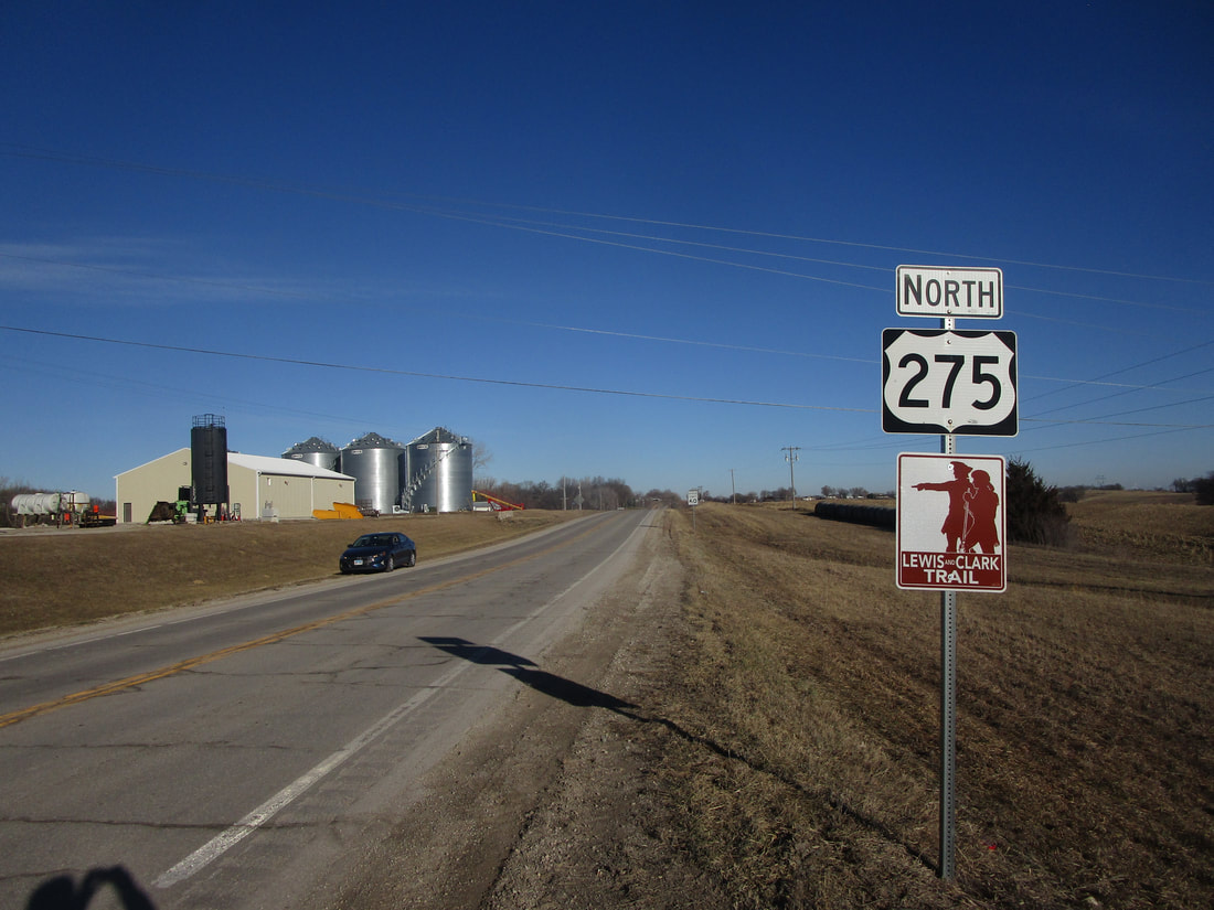
My photo for US Route 275 wasn't taken on any trip devoted to taking photos for my national route shield collection; rather, it was taken as part of a trip whose purpose was to clinch the Interstates in Iowa. Reaching the southern end of Interstate 29's extent in Iowa put me in the northwest corner of Missouri, so I figured, why not take a quick detour over to the southern end of US Route 275 in Rock Port, Missouri? The trailblazer you see in this photo is the first northbound trailblazer, seen by those turning off of US Route 136. This photo was taken in February, 2024.
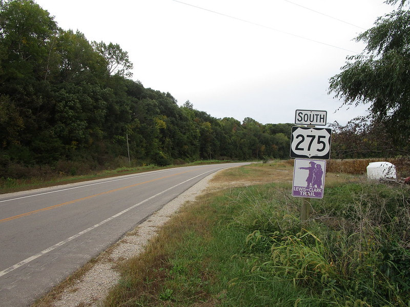
There used to be another photo of a US Route 275 sign that I featured on this page. That photo is shown below. It depicts the southbound trailblazer for US Route 275 posted by Missouri DOT at Missouri's northern state line. The location of this photo is near Hamburg, Iowa, just east of Interstate 29 and the Missouri River.
There used to be another photo of a US Route 275 sign that I featured on this page. That photo is shown below. It depicts the southbound trailblazer for US Route 275 posted by Missouri DOT at Missouri's northern state line. The location of this photo is near Hamburg, Iowa, just east of Interstate 29 and the Missouri River.