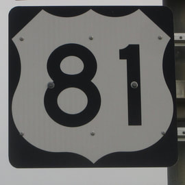
US Route 81States traversed: North Dakota, South Dakota, Nebraska, Kansas, Oklahoma, and Texas
|
|
US Route 81 is a north-south highway through the Great Plains states, from the northeast corner of North Dakota south to a town in extreme northern Texas. US Route 81's northern end is at the Canadian border, at the same border crossing as that used by Interstate 29. On the Canadian side of the border crossing is Manitoba Highway 75, which is the express route to Winnipeg. From there, US Route 81 runs south on its own alignment, but soon rejoins Interstate 29 south through North Dakota, reaching Grand Forks and Fargo. At Watertown in northeastern South Dakota, US Route 81 splits from Interstate 29 to follow a surface road through rural areas. US Route 81 continues south through Nebraska to form a central backbone though Kansas and Oklahoma. It doesn't make it very far past Oklahoma, however, as it ends at US Route 287 in Bowie, Texas. In the past, US Route 81 continued south along what is now the Interstate 35 corridor. The Interstate replaced US Route 81, though, leaving the highway in its current truncated form.
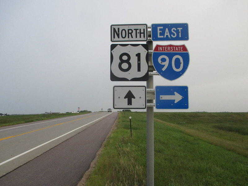
My photo of US Route 81 comes from the interchange where it meets Interstate 90 in eastern South Dakota, south of that state's town named Salem. This sign assembly faces south on the south side of the interchange, where the eastbound onramp lies. I took this photo on the way home from the Pacific Ocean and Yellowstone National Park, in the latter part of my trip in August, 2018.
Back to the nationwide main page.
Back to the home page.
Back to the nationwide main page.
Back to the home page.
