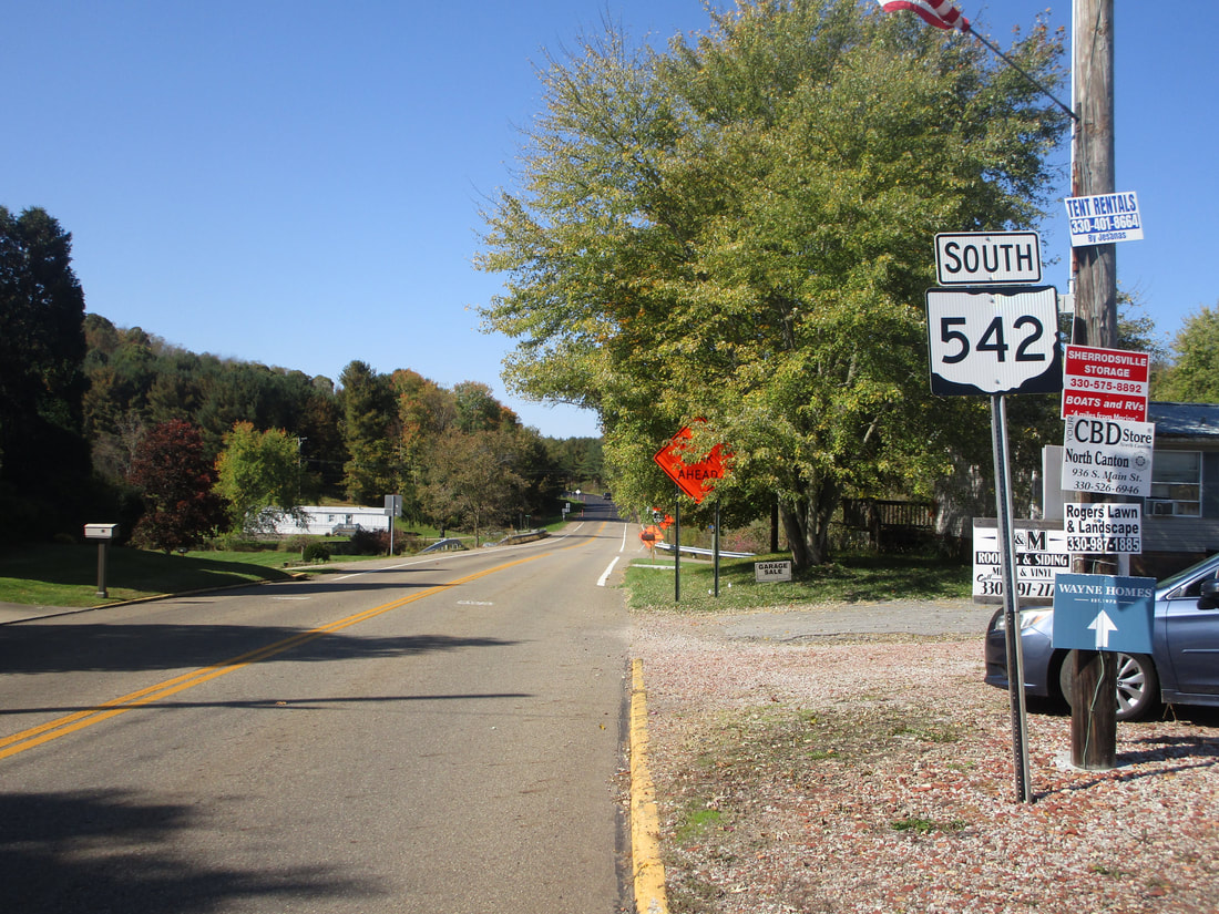
Ohio State Route 542 is a north-south route in western Carroll County, whose course is interrupted by Atwood Lake. The lake is an obstruction to Ohio Route 542 that creates a major easterly kink in the route. The southern end of Ohio Route 542 is at Ohio Route 212, a mile or two northwest of Ohio Route 39 and the town of Sherrodsville. Ohio Route 542 runs north for a couple of miles, but it gets kicked off toward the east once it reaches the south side of Atwood Lake. At the east end of the rather linear lake that stretches east-west, lies the small town of Dellroy, where Ohio Route 542 has to touch Ohio Route 39 before turning northerly and doubling back toward the west, along the north shore of the lake this time. Once it returns to about the same longitude it occupied before the stupid lake got in the way, Ohio Route 542 resumes going northward, for about another 7 miles. The northern end of Ohio Route 542 is at the small town of Magnolia, near the triple point where Carroll, Tuscarawas, and Stark Counties all meet. The end of the route occurs at the southwesterly piece of Ohio Route 183.
My photo for Ohio Route 542 comes from Dellroy, at the ricochet junction where it bounces off of Ohio Route 39. As Ohio Route 39 comes from the south to turn easterly, Ohio Route 542 comes from the west to turn northerly at the same junction. This photo looks toward the west, at a southbound trailblazer reminding travelers that they can turn back west along the south side of Atwood Lake to continue on Route 542. This photo was taken in October 2022, as I was heading to complete my tour of northeastern Ohio.
Back to Ohio Routes 500-599.
Back to the Ohio main page.
Back to the home page.
Back to Ohio Routes 500-599.
Back to the Ohio main page.
Back to the home page.

