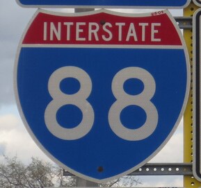
The Interstate 88 designation applies to two different highways in two different regions of the United States; the westerly of these two designations runs east-west across northern Illinois. For the eastern Interstate 88 in New York State, click here. The western Interstate 88 begins at Interstate 80, on the east side of the Quad Cities. From there, Interstate 88 runs northeasterly to Rock Falls, where the highway curves more easterly and becomes a tollway for the rest of its length. Interstate 88 passes by Dixon, Rochelle, and DeKalb, before turning a bit more southeasterly to enter the Chicago area. Once it begins flanking the north side of Aurora, Interstate 88 becomes straight easterly, passing by Naperville and other suburbs to end shy of reaching Chicago's city limits. The eastern end is an interchange providing access to Interstate 290 and Interstate 294; Interstate 290's eastern leg is the way to continue to downtown Chicago.
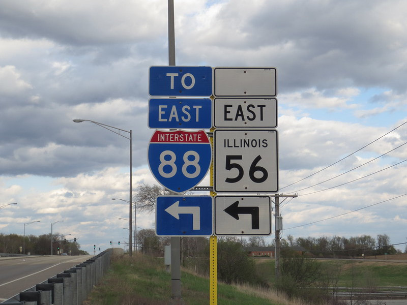
My photo for the western Interstate 88 comes from an interchange at Galena Boulevard and Illinois Route 56, in the western outskirts of Aurora, Illinois. The onramp pointed out by this signage leads to Illinois Route 56 eastbound, which will soon merge onto Interstate 88 eastbound. I wanted a photo of an Interstate 88 marker not procured by the Illinois State Toll Highway Authority, because the ones they fabricate look oddly to me; that's why I went to this more tangential location to find one. This photo was taken as I was first contemplating the start of a national route marker collection; this took place in early May, 2014.
Back to the nationwide main page.
Back to the home page.
Back to the nationwide main page.
Back to the home page.


