Despite US Route 68's even number, the highway runs north-south in Ohio, from Findlay to Aberdeen. For all intents and purposes, US Route 68 runs north and south, roughly drawing a line between Ohio's westernmost quarter and the rest of the state; about 3/4 of Ohio's width lies east of US Route 68, in other words. Near Aberdeen, Ohio, US Route 62 and US Route 68 use the same bridge to cross the Ohio River out of Kentucky. Both routes join US Route 52 west toward Ripley, where all three US highways decide to go their separate ways. While US Route 52 continues westward and US Route 62 splits off to go northeastward, US Route 68 heads northerly, even with a bit of a northwesterly tilt. In southwestern Ohio, US Route 68 mainly serves rural areas and small towns like Mount Orab, but it does pass through Wilmington as the main north-south thoroughfare. US Route 68 continues by serving the next "column" of major towns east of the Interstate 75 corridor, like Xenia, Springfield, and Urbana. In fact, US Route 68 serves as a small freeway bypass around the west side of Springfield as it continues north toward Urbana. Past Urbana, US Route 68 passes through West Liberty, Kenton, and Bellefontaine as a surface route. Then, US Route 68 enters its final destination of Findlay. It meets the Ohio Route 15 freeway, a connection between Interstate 75 and the US Route 23 expressway that completes an express route from Toledo to Columbus. US Route 68 isn't quite done yet, though; it joins Ohio Route 15's freeway west for a couple miles to end at Interstate 75. (Ohio Route 15 continues north on Interstate 75 to get off at the next exit.)
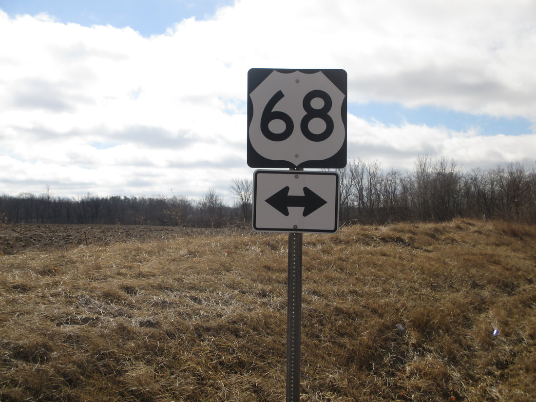
My photo of US Route 68 in Ohio comes from its junction with Ohio Route 638 north of Bellefontaine. This junction is a t-intersection in northern Logan County. Ohio Route 638 comes in from the north-northwest and ends at US Route 68, which travels toward the north-northeast. Those drivers on Ohio Route 638 reaching this intersection will see the guide marker in this photo, which was photographed on Leap Day 2016 coming home from Columbus.
Back to the Ohio US Highways page.
Back to the Ohio main page.
Back to the home page.
Back to the Ohio US Highways page.
Back to the Ohio main page.
Back to the home page.
