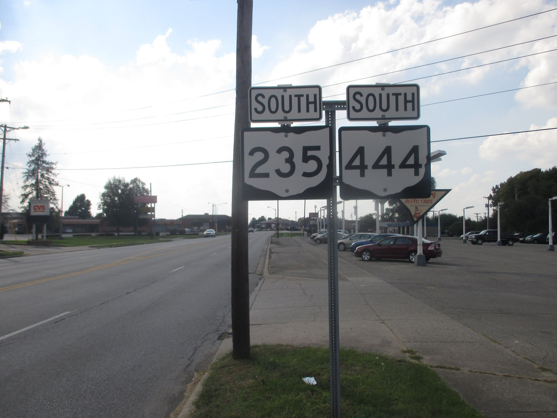
Ohio State Route 444 is a route winding through northeastern pieces of the Dayton area. It wraps around the Wright-Patterson Air Force Base, and because of various changes in ownership of property around the Base, Ohio Route 444 ends up having a rather erratic route. Note that Ohio Route 444 is named for Ohio Route 4, rather than a route numbered 44. I guess ODOT liked the number "444" over "404". The southwestern end of Ohio Route 444 occurs, predictably, at Ohio Route 4. This is at a 6-ramp interchange that also serves Valley Pike to the west. Ohio Route 444 heads easterly and northeasterly from there, wrapping around the south and southeast sides of Wright-Patterson Air Force Base. Soon after meeting the northern extent of Ohio Route 844, Ohio Route 444 jogs very slightly to the east to cross railroad tracks. It opts for a road on the east side of the tracks, instead. Speaking of "instead", instead of heading straight down Central Avenue through Fairborn, it bypasses the center of town to the west. It turns west on Dayton Drive, then north on Broad Street, just to meet Central Avenue again. The last recourse of Ohio Route 444 is to follow Broad Street northeasterly to an interchange with Interstate 675, where it ends. All of this chaos occurs along a distance of under 9 miles.
My photo of Ohio Route 444 signage comes from the corner of Broad St. and Center Avenue, on the north side of Fairborn. Ohio Route 235 comes from the north on Center Avenue to join Ohio Route 444 south. This signage faces northeast to inform drivers that this piece of Broad Street carries both state highway designations. This photo was taken in October 2018, as I was goofing around in the Dayton area before touring around southwestern Ohio.
Back to Ohio Routes 300-499.
Back to the Ohio main page.
Back to the home page.
Back to Ohio Routes 300-499.
Back to the Ohio main page.
Back to the home page.

