US Route 20A is an alternate alignment of US Route 20. In Ohio, US Route 20A runs west from Maumee to Williams County, the northwesternmost county in Ohio. The eastern end of US Route 20A splits from US Route 20 just north of US Route 24 in Maumee. At this point, US Route 20 runs straight north to a new alignment that heads west out of Toledo. This leaves US Route 20A to run westerly right out of Maumee. It parallels the Ohio Turnpike (Interstates 80 and 90) to the south, whereas US Route 20's main alignment lies north of the Turnpike. US Route 20A serves Swanton, Delta, Wauseon, and West Unity. Just shy of reaching Montpelier, US Route 20A joins Ohio Route 15 north across the Ohio Turnpike. It soon splits westerly to a very short road that converges with US Route 20. This marks the end of US Route 20A.
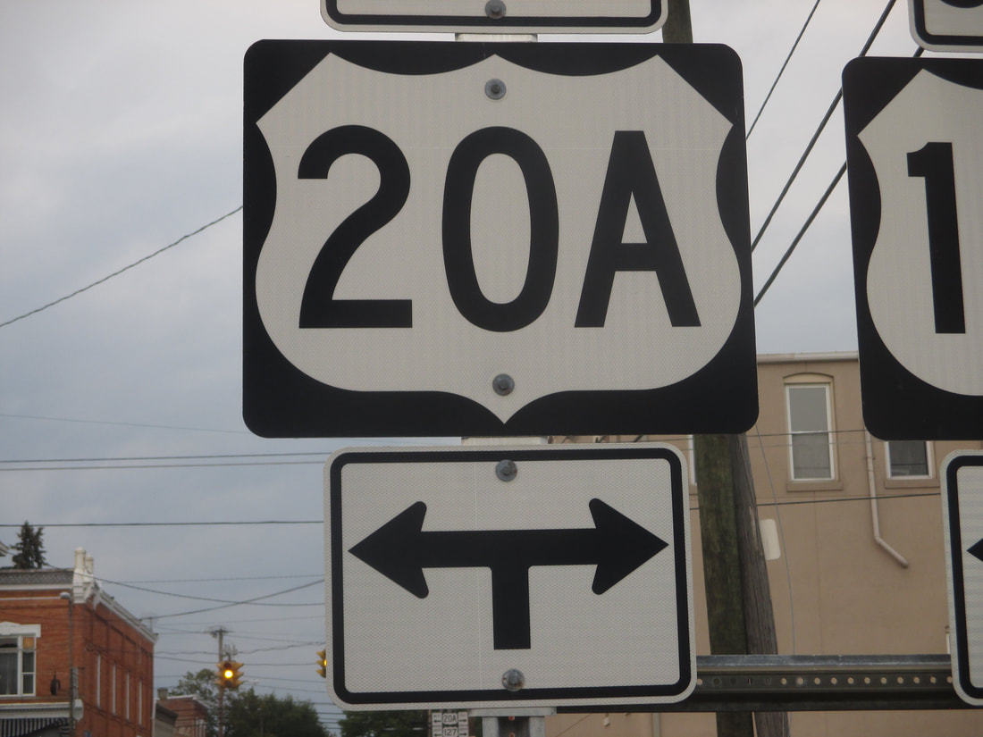
My photo of Alternate US Route 20 signage comes from the northern end of Ohio Route 191 in West Unity. I can't find a broader view of this sign assembly, so this closeup shot will have to do for now (until I hopefully get a better shot of this route in June). The sign assembly is a junction assembly announcing the upcoming junction of US Route 20A and US Route 127, which share a short duplex here. This photo was taken September 2017 on the way home from Columbus using a bunch of back roads.
Back to the Ohio US Highways page.
Back to the Ohio main page.
Back to the home page.
Back to the Ohio US Highways page.
Back to the Ohio main page.
Back to the home page.
