Michigan Highway 39 is a north-south multilane highway on the west side of Detroit. Most of it is a freeway, with the exception of its southern end that bends southeasterly toward the Detroit River. The southern end is at Michigan Highway 85 in Lincoln Park, a nearby southern suburb of Detroit. From there, Michigan Highway 39 heads northwesterly as a surface road for just a couple of miles. After those couple of miles, Michigan Highway 39 passes through an interchange with Interstate 94 and becomes a freeway as it bends northerly. It stays a freeway until it ends, merging into Michigan Highway 10's freeway where Southfield, a northern suburb, meets the northwestern area of Detroit proper.
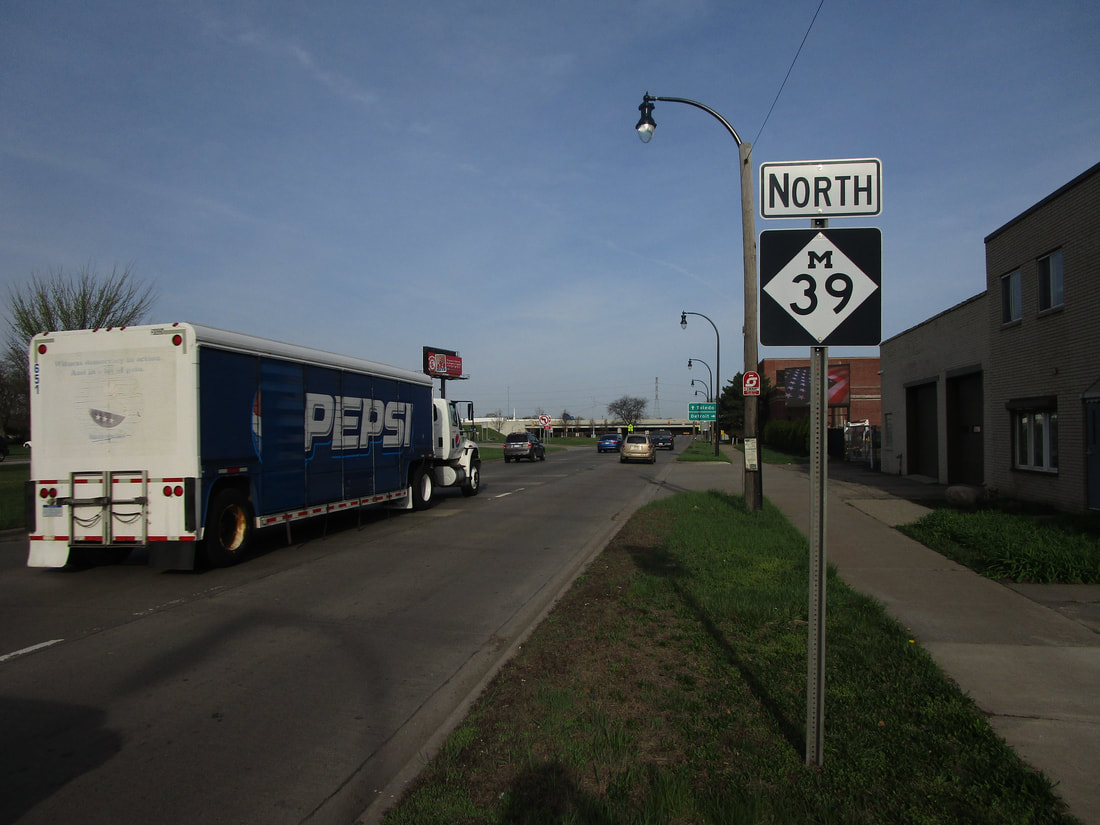
My photo of Michigan Highway 39 is just southeast of Interstate 94, along the surface road portion of the highway. This is in the suburb of Lincoln Park, Michigan. A northbound reassurance marker just southeast of Interstate 94 is what you see here. Signage intended for onramps connecting to Interstate 94 are visible in the background of the photo. This photo was taken in April 2021, along my trip to Metro Detroit and Michigan's Thumb.
Here are a few more photos along Michigan 39:
Here are a few more photos along Michigan 39:

Michigan 39 becomes a freeway as it passes northward under Interstate 94.

Exit 4 leads to Oakwood Boulevard.

