Ohio State Route 31 connects Kenton to Maryville, in Hardin and Union Counties. From its point of beginning in Kenton, its pathing is generally toward the south-southeast. This point of beginning is at US Route 68, but Ohio Route 31's first recourse is to go exactly one block to the east and take the next street southerly. This next street is Main Street, and it also carries Ohio Route 53 and Ohio Route 67 for a short spell. Ohio Route 31 follows Main Street south through the rest of Kenton, and it leaves town to the south-southeast free of any concurrencies. Ohio Route 31 ends as it's heading down another street named Main Street; this Main Street is in the town of Marysville. The southern terminus is unique; the point of termination is the common to the northern endpoint of Ohio Route 38, but the endpoint is at an intersection with an east-west road carrying no numbered routes. This east-west road used to be US Route 36 before its freeway bypass was built around the north side of Maryville. Why aren't Ohio Route 31 and Ohio Route 38 the same route? Beats me.
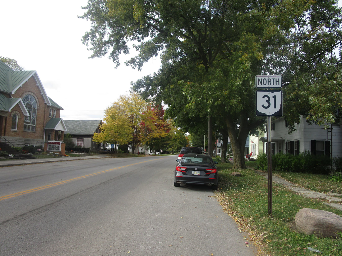
My photo of Ohio State Route 31 signage comes from Mount Victory, where this northbound trailblazer guides travelers leaving the intersection with Ohio Route 273. This photo was taken on the way to Columbus in October 2022, on a trip that would become the grand tour of northeast Ohio (Ohio Route 31 is in no way situated in northeast Ohio, though).
Back to Ohio Routes 1 through 99.
Back to the Ohio main page.
Back to the home page.
Back to Ohio Routes 1 through 99.
Back to the Ohio main page.
Back to the home page.

