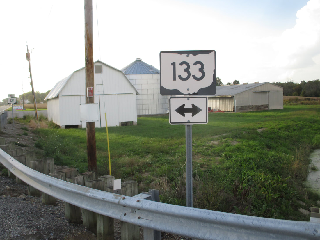
Ohio State Route 133 is a north-south route in southwestern Ohio, running from a point near Wilmington down to the Ohio River. The northern end coincides with the northern end of Ohio Route 132, at a point along Ohio Route 350 in Clarksville; this terminus is just southeast of US Route 22, and just southwest of Wilmington. From this point, Ohio Route 133 runs south, splitting with Ohio Route 132 after a fraction of a mile. Ohio Route 133 stays east of Ohio Route 132, but west of US Route 68. Ohio Route 133 heads south through Blanchester, Williamsburg, and Bethel. Then, it ends within 500 feet of the Ohio River, at US Route 52 between Chilo and Higginsport.
My photo of Ohio State Route 133 comes from the 4-way intersection at Ohio Route 131, just east of Newtonsville. The sign assembly shown facing east at westbound travelers on Ohio Route 131, so they know where to turn to reach Ohio Route 133. This photo was taken during the first phase of the trip around southwestern Ohio in October 2018.
Back to Ohio Routes 100-199.
Back to the Ohio main page.
Back to the home page.
Back to Ohio Routes 100-199.
Back to the Ohio main page.
Back to the home page.

