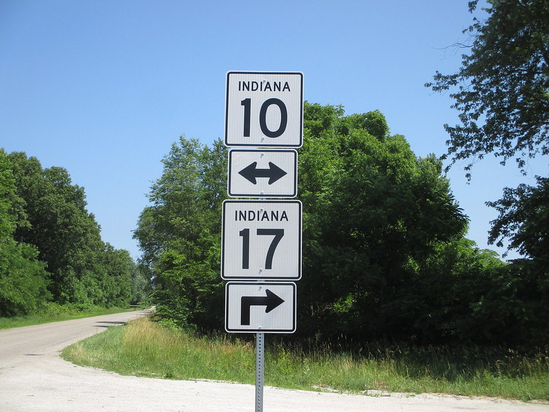
Indiana State Route 17 runs from Plymouth south to Logansport in north-central Indiana. This forms a corridor that lies a short distance west of US Route 31, which forms Indiana's backbone. I always found it strange that State Route 17 lies west of US Route 31, as odd-numbered routes should have smaller numbers if they're farther east in Indiana; however, State Routes 19 and 25 at least partially lie to the east of US Route 31, in Indiana's eastern half.
My photo for Indiana State Route 17 comes from a sign assembly that doesn't make a whole lot of sense, and it's the same source photo as my shield image for Indiana State Route 10. The assembly in this photo lies at the western junction of Indiana State Routes 10 and 17, where a northerly Route 17 joins Route 10 east for a short concurrency. However, the "right ahead" arrow for Indiana Route 17 on the assembly behind this aperture marks a turn that happens ahead of the aperture, where I stood in order to take the photo. The photo, by the way, comes from June, 2016.
Back to the Indiana main page.
Back to the home page.
Back to the Indiana main page.
Back to the home page.

