Michigan Highway 55 is one of the east-west routes spanning the width of the Lower Peninsula, upstate of the landmass's center. Michigan Highway 55 is positioned such that about a third of the Peninsula's total north-south height lies north of the highway. That means it rides along what we might consider the boundary between central and northern Michigan. The western end is at US Route 31 in Manistee. Michigan Highway 55 begins there and heads east along a fairly straight path. It passes through Cadillac, Lake City, Houghton Lake, and West Branch. At Tawas City, along the Lake Huron shoreline where Saginaw Bay empties into the rest of the lake, Michigan Highway 55 ends at US Route 23.
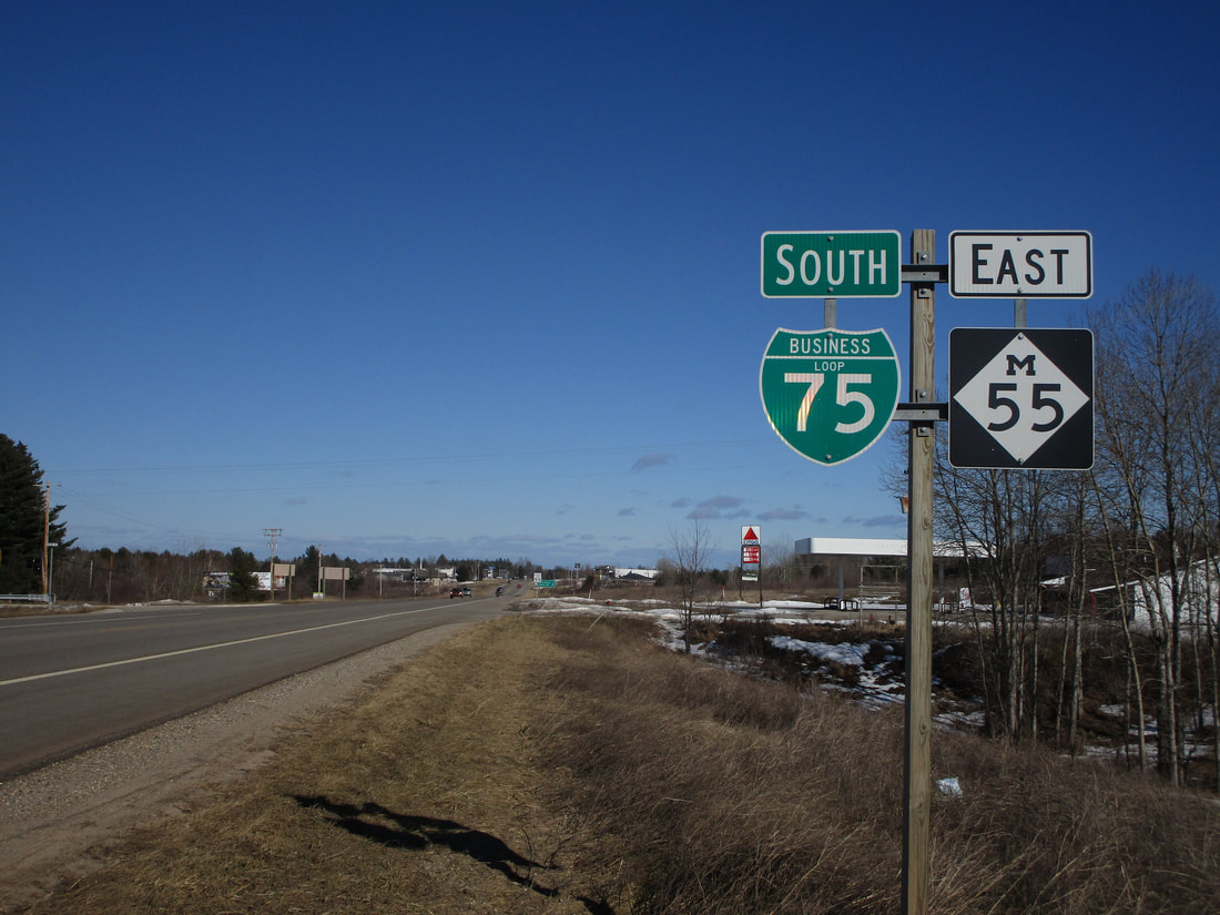
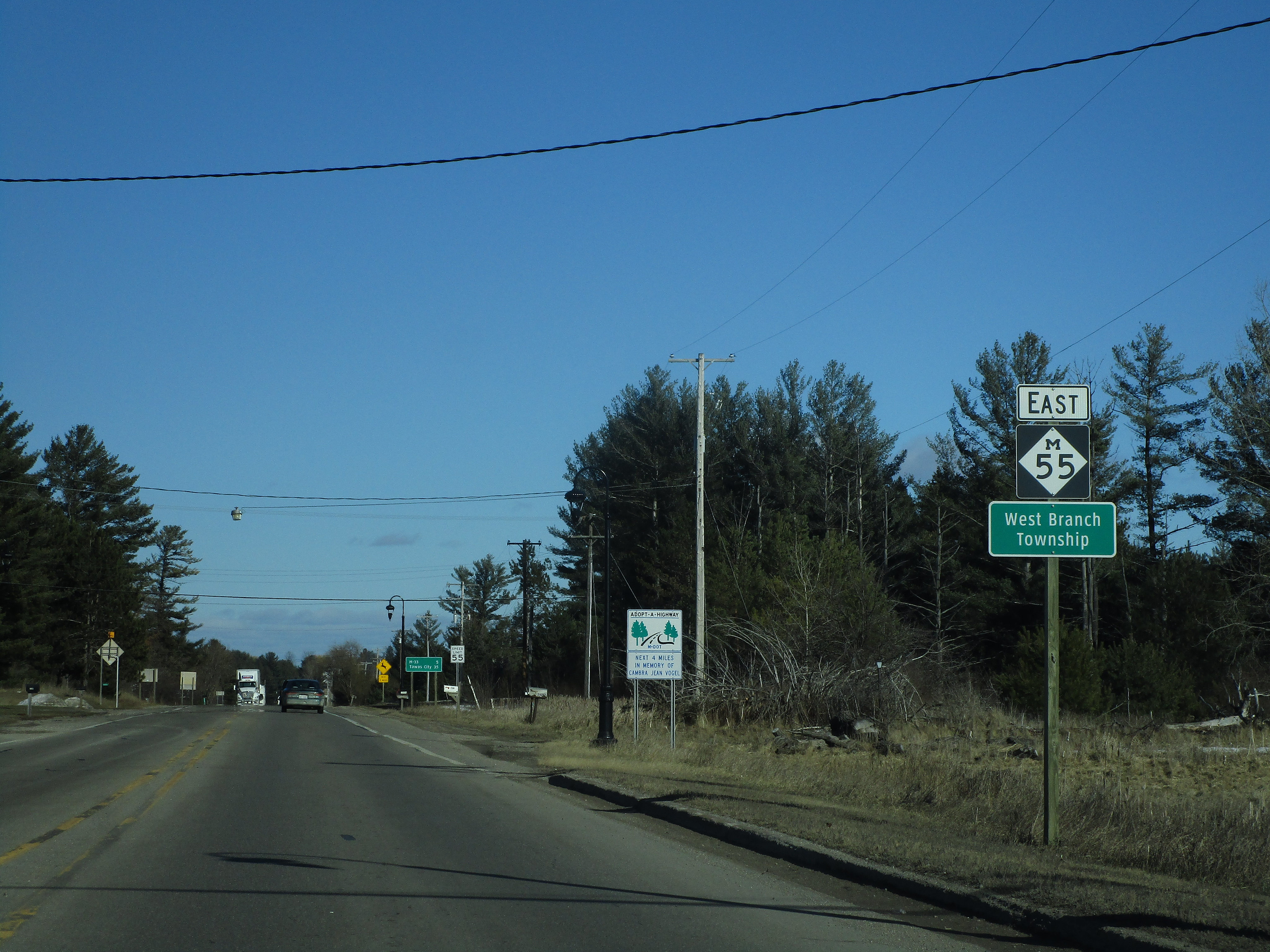
My photo of Michigan Highway 55 comes from West Branch, Michigan, where the state route crosses Interstate 75. The signage depicted is a pair of eastbound reassurance markers for traffic heading away from the Interstate 75 interchange. Interstate 75 spawns a business loop here that follows Michigan Highway 55 into West Branch, so that business loop is mentioned here, too. This photo was taken in March 2019 as I was driving around central and southern Michigan.
Here are some more photos along Michigan Highway 55:
Here are some more photos along Michigan Highway 55:

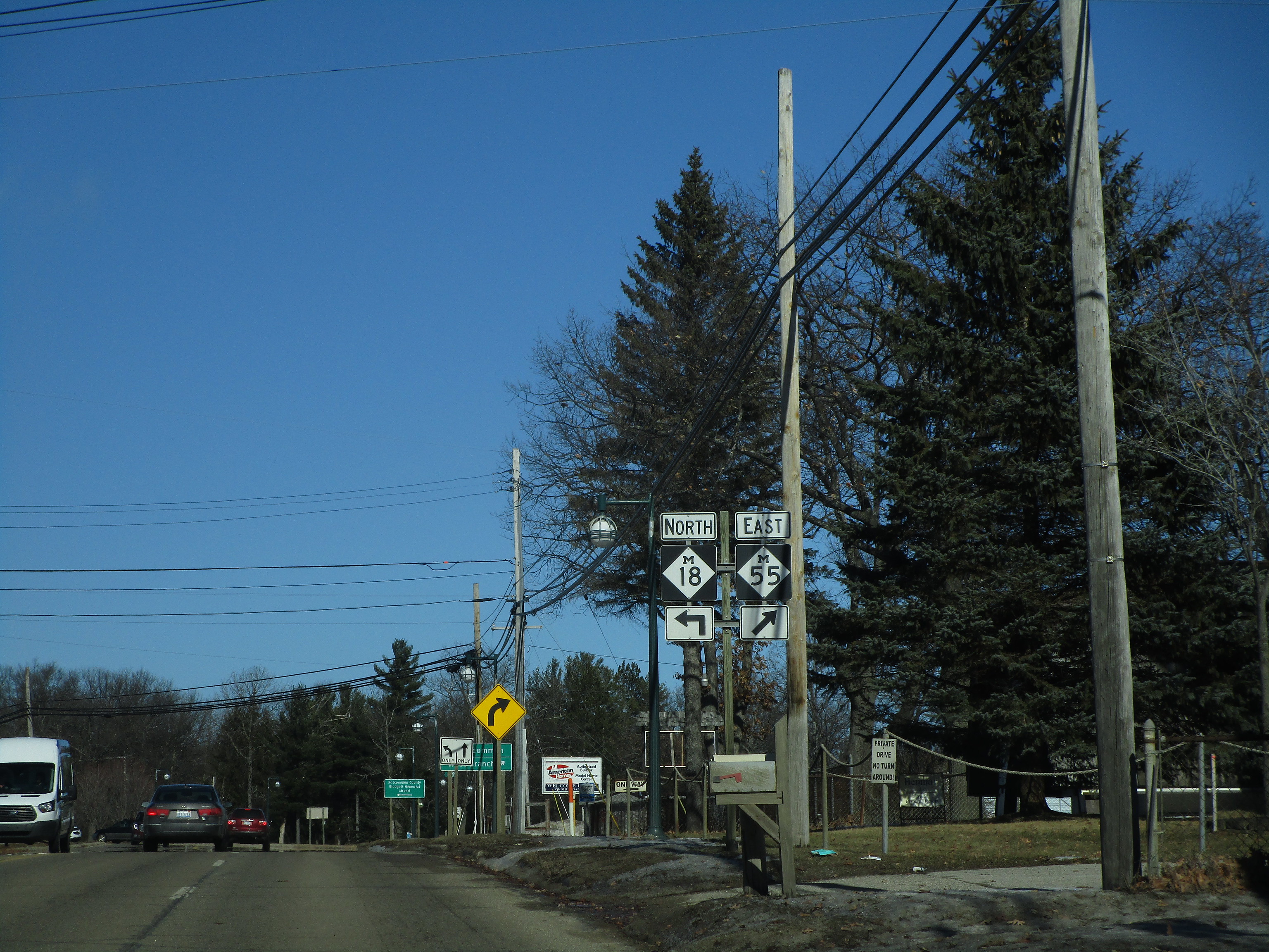
Michigan Highway 55 is joined by Michigan Highway 18 through Prudenville. This sign shows eastbound travelers that both routes follow this roadway.
Michigan Highway 55 splits from Michigan Highway 18 on the east side of Prudenville.

As Michigan 55 heads east out of Prudenville, it meets the southern end of the tiny shortcut road labeled as Michigan 157.
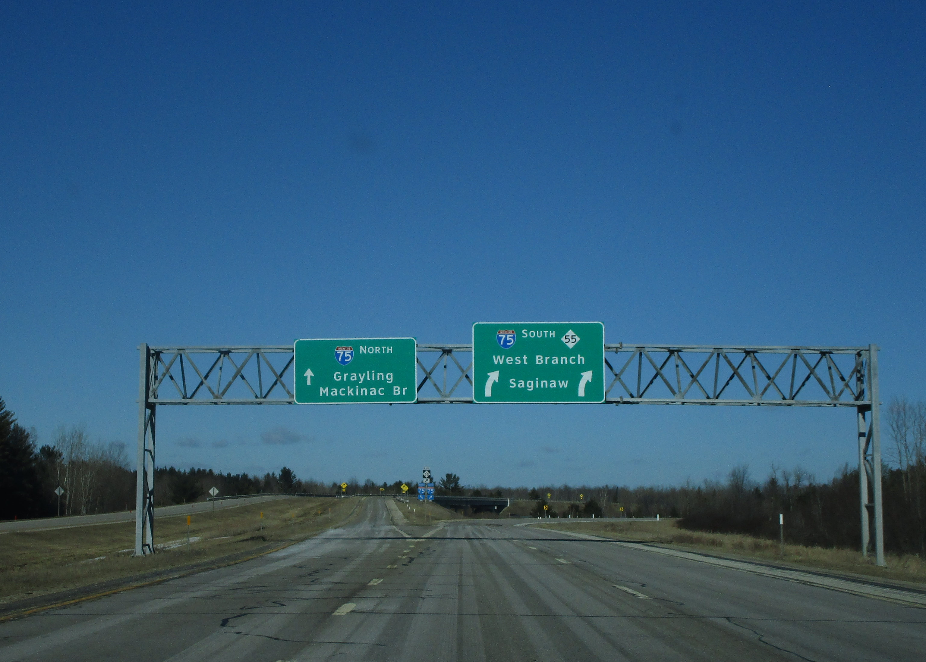
East of Prudenville, Michigan Highway 55 is joined by Interstate 75, which bends from southerly to easterly.

Closeup of the sign assembly at the gore point shown in the previous picture. It's interesting to see an oversized state highway marker here.
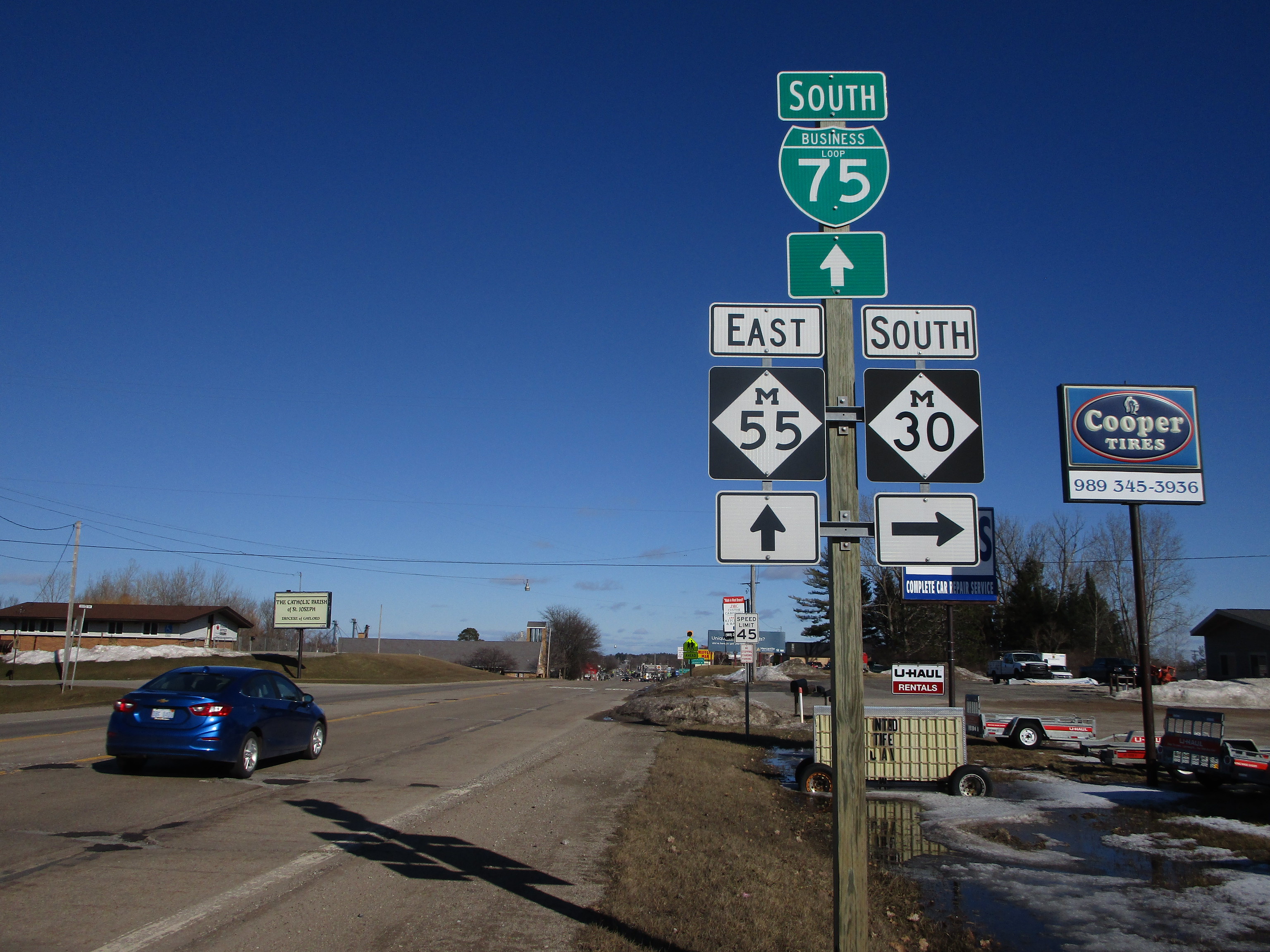
In West Branch, Michigan 55 meets the northern end of Michigan 30. This photo was taken looking east.
Michigan Highway 55 leaving West Branch and continuing eastward out of town.

Michigan 55 meets Michigan 65 near Whittemore. This sign assembly notifies travelers moving eastbound.
