US Route 50 runs east-west to span the entirety of southern Ohio. It enters the state at the southwestern corner, and exits at what is arguable the state's southeastern corner; however, instead of hugging the southern edge of the state, it carves a more direct path between these two points. Hugging the Ohio River at the southern edge of the state is a job for US Route 52. The southwestern point of ingress for US Route 50 is a mere two miles north of the Ohio River, near Elizabethtown, Ohio. US Route 50 then heads straight through Cincinnati as an important highway. It does follow the northern shore of the Ohio River until Cincinnati, but that becomes US Route 52's post east of the city. US Route 50 instead heads for Fayetteville, Hillsboro, and Chillicothe. Past Chillicothe, US Route 50 winds through the hills, serving McArthur and picking up Ohio Route 32 on the way to Athens. For as long as US Route 50 is conjoined with Ohio Route 32, from Albany to Belpre, US Route 50 is a smooth-running, fast, four-laned highway through the backcountry. The bypass around Athens could even be considered a freeway. Beyond Athens, US Route 50 and Ohio Route 32 continue together, twisting and turning around fast, broad curves past Coolville to Belpre. Near Belpre, US Route 50 exits Ohio Route 32 onto its own expressway onto a bridge over the Ohio River into Parkersburg, West Virginia.
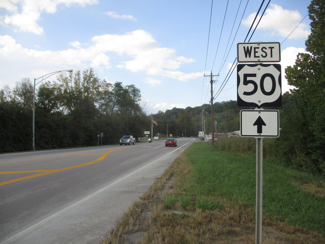
My photo of US Route 50 in Ohio comes from the east side of the Cincinnati area, at an intersection with Ohio Route 450. Ohio Route 450, for context, is just a little connector US Route 50 uses to access Interstate 275. The reassurance marker for those continuing west on US Route 50 is shown in this photo, and for some reason, it has a forward arrow attached to it (possibly because it's so close to the traffic signal with Ohio Route 450). This photo was taken during my trip to southwestern Ohio in October 2018.
Back to the Ohio US Highways page.
Back to the Ohio main page.
Back to the home page.
Back to the Ohio US Highways page.
Back to the Ohio main page.
Back to the home page.

