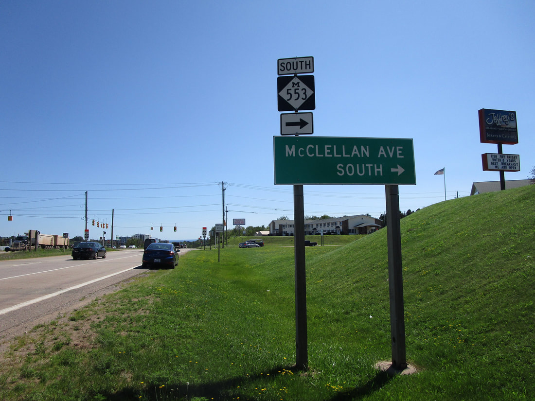
Michigan Highway 553 is a north-south highway in the north central portion of the Upper Peninsula. It descends southerly from Marquette, and is named after its former county designation. The northern end in Marquette is at the concurrency of US Route 41 and Michigan Highway 28. Michigan Highway 553 passes by the decommissioned Sawyer Air Force Base. After that, it meets the western end of Michigan Highway 94, and then ends itself at Michigan Highway 35 in Gwinn. Michigan Highway 553 has the highest number of any state route designation in Michigan, and it's not even close; Michigan State Routes don't even use any numbers in the 400's!
My photo for Michigan Highway 553 signage comes from its northern end in Marquette. The sign assembly shown, facing west along US Route 41 and Michigan Highway 28 (the two routes are concurrent), points out the turn to the south onto Michigan Highway 553, for those heading eastward. Westbound travelers have to face a more convoluted process to reach Michigan Highway 553; that process involves a U-turn and a right turn (the good old "Michigan left"). This photo was taken during August 2020, as I was traveling across the Upper Peninsula from the Porcupine Mountains to Pictured Rocks and Tahquamenon Falls.
Back to the Michigan main page.
Back to the home page.
Back to the Michigan main page.
Back to the home page.

