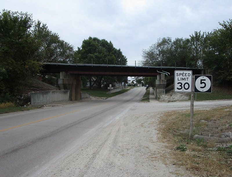
Iowa Route 5 runs southeast and south of the Des Moines area, ending as a transition to Missouri Route 5 at the Missouri border. The shape of the route resembles that of the northeast quarter of a circle. The northwestern extent of Iowa Route 5 is an east-west freeway that flanks the southern side of the Des Moines area. The western end is at Interstate 35. Eastward past the freeway, Iowa Route 5 bends southeasterly until the town of Knoxville as a four-lane rural highway. After Knoxville, Iowa Route 5 continues southeast to Albia, then south to the Missouri border, all as a two-lane rural road. The southern end, the aforementioned crossing into Missouri, occurs south of Centerville, Iowa.
My photo of Iowa Route 5 shows a southbound reassurance marker pointing toward the junction of Iowa Route 5 with Iowa Route 137 in Albia. I faced south when taking this photo. If I turned 135 degrees to the left, I would be pointing northeast, looking down the southwestern start of Iowa Route 137. I took this photo as part of the southwestern Iowa trip of October 2021.
Back to the Iowa main page.
Back to the home page.
Back to the Iowa main page.
Back to the home page.

