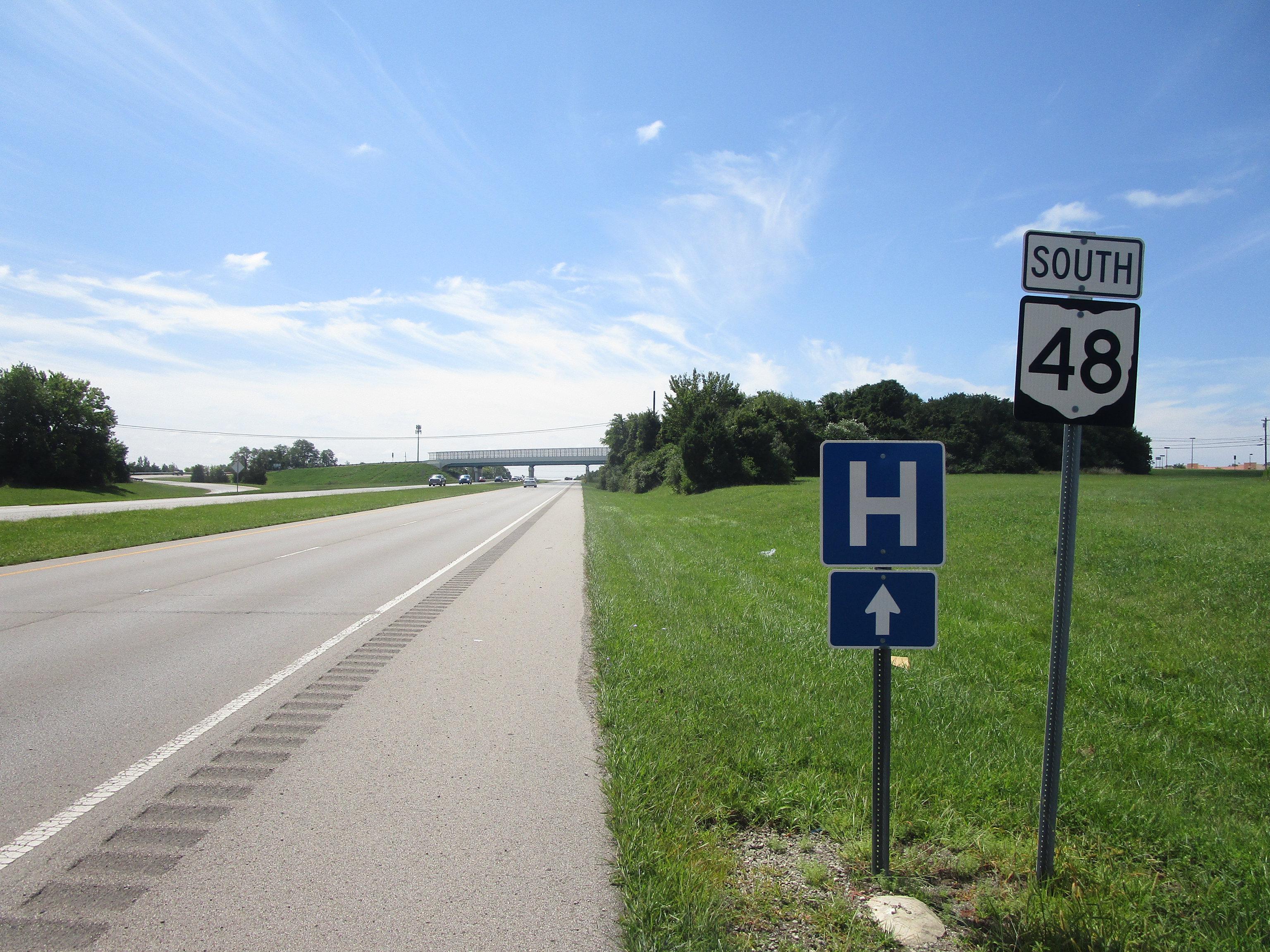
Ohio State Route 48 is a north-south highway in west-central and southwestern Ohio. It is perhaps best known for cutting right through downtown Dayton, reaching out toward other locales to the north and south. The northern end of Ohio Route 48 is at Ohio Route 66, between Newport and Mount Jefferson-or, about ten miles west of Sidney. From here, Ohio Route 48 moves southerly and southeasterly into Englewood and downtown Dayton. Ohio Route 48 continues south out of Metro Dayton to Lebanon, where it uses Ohio Route 123 easterly to join a southerly expressway. After crossing Interstate 71, Ohio Route 48 resumes status as a surface road. It spends its last few stretches zigzagging around through places like Loveland, before it ends at Ohio Route 132 south of Goshen.
My photo of Ohio State Route 48 comes from the expressway section south of Lebanon, Ohio. This southern end marker shown in the photo appears right after an onramp to Turtle Pike in an area south of Lebanon. The interchange home to the scene in this photo is the first interchange south of the one with Ohio Route 123. I'm not sure why it's positioned after the offramp rather than after the onramp, where newcomers will benefit from seeing the sign. In any case, this photo was taken during a drive home from Xenia in August 2023.
Back to Ohio Routes 1 through 99.
Back to the Ohio main page.
Back to the home page.
Back to Ohio Routes 1 through 99.
Back to the Ohio main page.
Back to the home page.

