Ohio State Route 650 is a short north-south route near Ironton, in southernmost Ohio. The southern end of Ohio Route 650 actually occurs along US Route 52, which runs along the Ohio River in south-central Ohio. To be specific, this southern endpoint is in the small hamlet of Hanging Rock, just downstream (west) of Ironton. From US Route 52, Ohio Route 650 heads north into the hills. It meanders around for about eight miles before it ends at Ohio Route 522. Ohio Route 650 parallels Ohio Route 93 to the west, and while Ohio Route 93 eventually goes somewhere, Ohio Route 650 passes through no towns. I don't really see the point of Ohio Route 650, but maybe someone could enlighten me through an email or something!
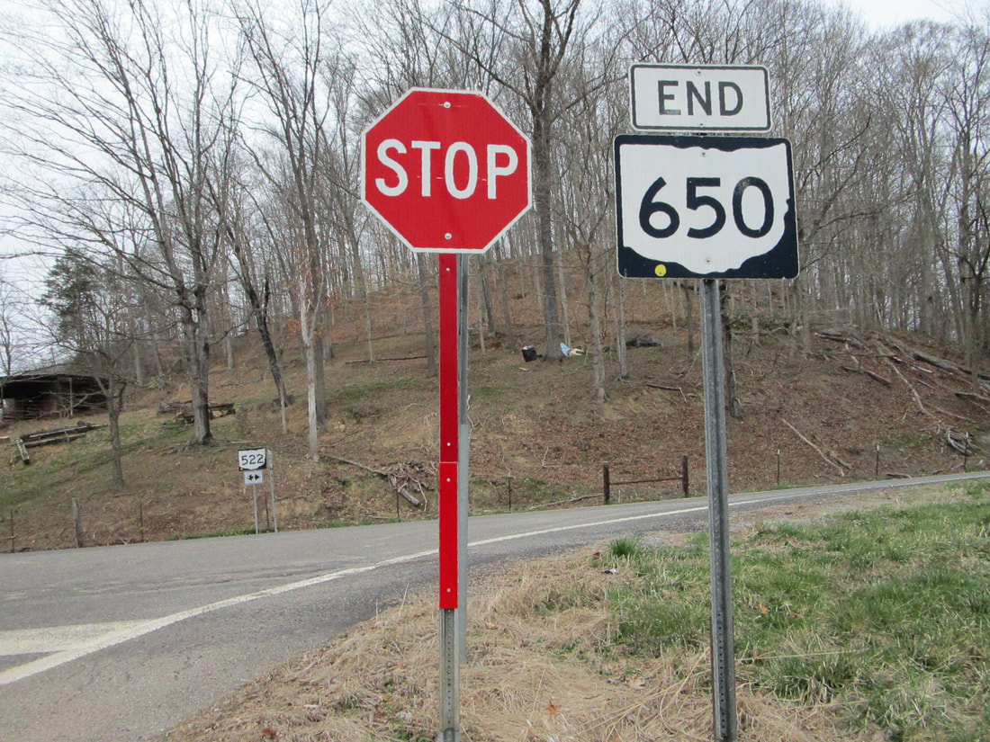
My photo for Ohio Route 650 comes from the northern end at Ohio Route 522. The sign assembly featured is actually the northern end marker, encountered by drivers on Ohio Route 650 oriented toward the north! This photo was taken in March 2021 during my drive around the southeastern quarter of Ohio (this route is in the southwestern corner of the southeastern quarter of the state, if that makes sense).
Back to Ohio Routes 600-699.
Back to the Ohio main page.
Back to the home page.
Back to Ohio Routes 600-699.
Back to the Ohio main page.
Back to the home page.
