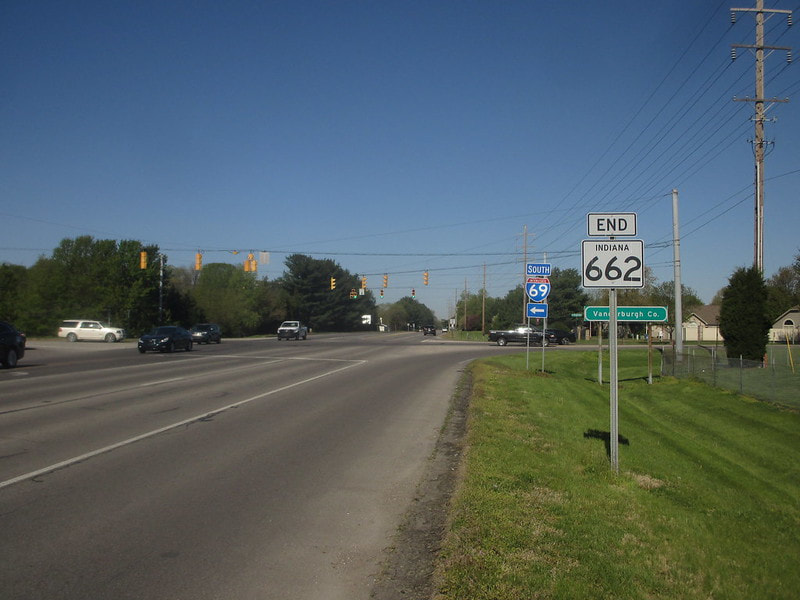
Indiana State Route 662 is a short east-west fragment of a route that was once considerably longer, forming part of a route between Evansville and the next town to the east, Newburgh. The western end is at Interstate 69, formerly Interstate 164, and the eastern end is at the signal with Ellerbusch Road. This makes the length of Indiana Route 662 only a mile and a half in the present day. All too often in Indiana, a municipality will show interest in deciding what happens to the road, and INDOT, eager to absolve itself of financial responsibility, will give the road to said municipality with no regard for maintaining network connectivity. Indiana Route 662 isn't the most egregious example of this, but it happens with a glaring frequency in Indiana.
My photo of Indiana Route 662 is the western end marker, posted for westbound drivers encountering the western set of interchange ramps to and from Interstate 69. This photo was taken at the end of April, 2018 on the edge of Evansville, Indiana.
Back to the Indiana main page.
Back to the home page.
Back to the Indiana main page.
Back to the home page.

