^Eastbound trailblazer on Illinois 113, leading away from Illinois 53 in Braidwood, October 2019.
Illinois Route 113 is an east-west route in Grundy and southwestern Will Counties, becoming a northwest-southeast route running along the south side of the Kankakee River once it approaches and enters Kankakee County. It ends at Illinois 17 on the west side of Kankakee. Inexplicably, it is signed as a north-south route for much of its length, apparently because IDOT (again, inexplicably) looks at it as a north-south alignment.
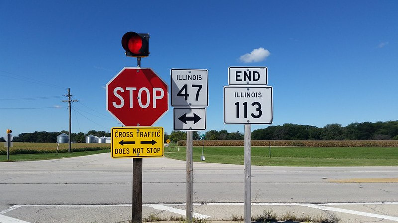
The western end (that's right, IDOT; I said "WESTERN") is at Illinois 47 south of Morris:
The western end (that's right, IDOT; I said "WESTERN") is at Illinois 47 south of Morris:
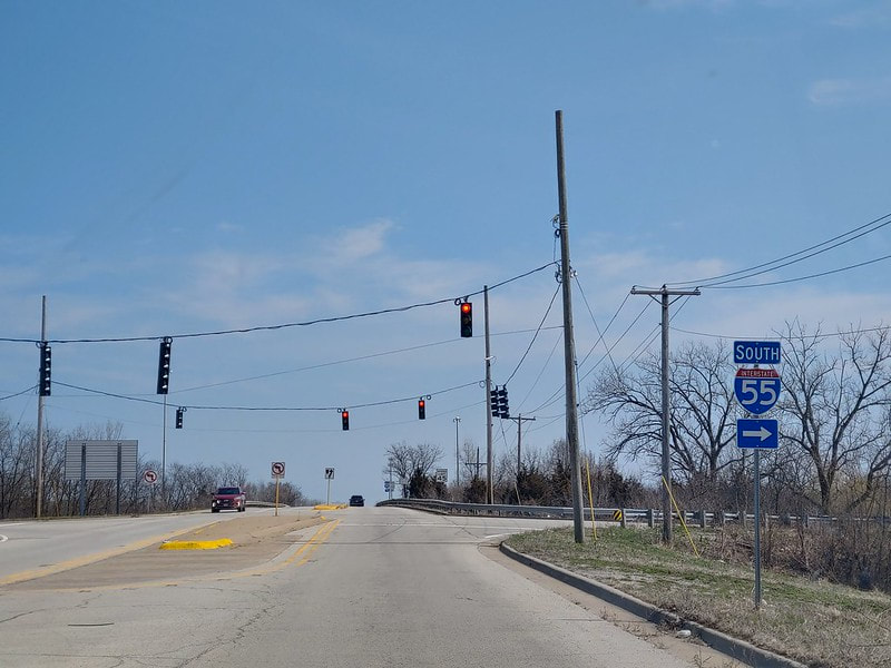
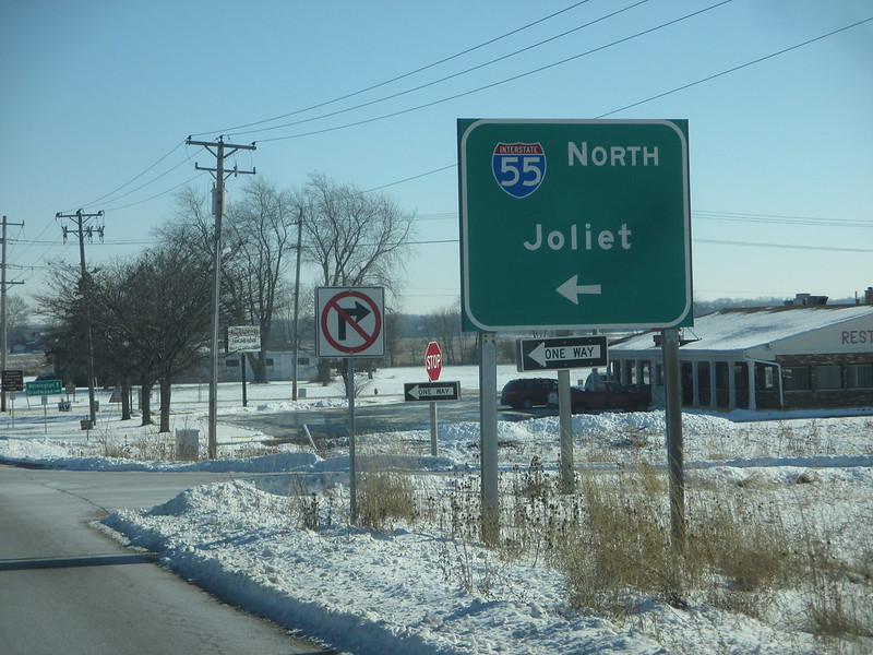
After passing through Coal City and Diamond, Illinois 113 meets a diamond interchange with Interstate 55:
Shortly after meeting Interstate 55, Illinois 113 turns southerly and then back easterly in Braidwood:
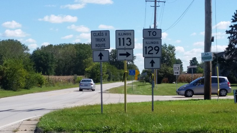
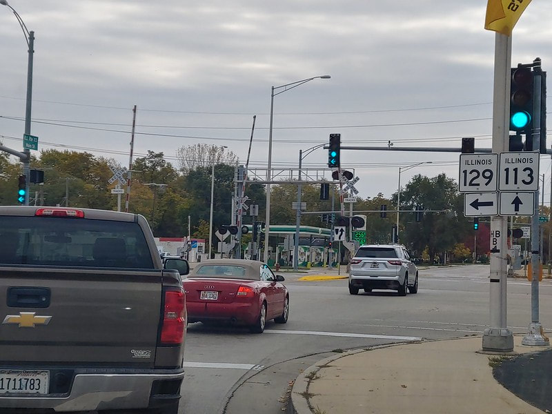
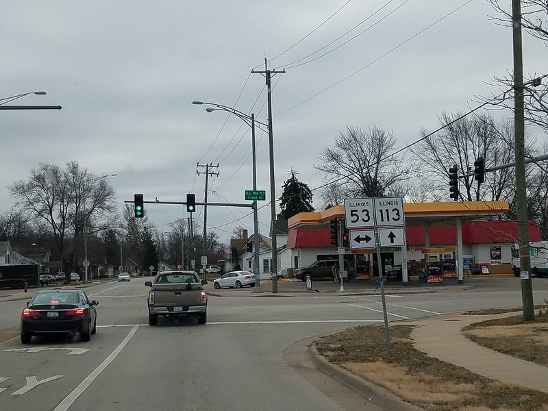
Heading eastward through Braidwood, Illinois 113 encounters a complex situation. Illinois 113 crosses over a set of railroad tracks with Illinois Route 129 immediately adjacent to the west side of the tracks, and with Illinois Route 53 immediately on the east side of the tracks. This unsafe situation is controlled by a traffic signal that treats the junction as a big six-way intersection, leading to long wait times at the signal, in the name of safety. This is the southern end of Illinois 129, whereas Illinois 53 continues southward on the east side of the tracks:
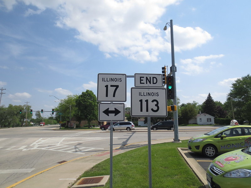
After Illinois 113 runs along the south side of the Kankakee River for over a dozen miles, Illinois 113 comes to an end at Illinois 17 on the west side of Kankakee.
