Ohio State Route 145 runs northeast-southwest through the hill country of southeastern Ohio, keeping about twenty miles from the Ohio River. The southwestern end of Ohio Route 145 occurs at Ohio Route 821 in Lower Salem, a few miles east of Interstate 77. From there, Ohio Route 145 heads northeasterly on a winding, jagged path, through the backcountry and a few very small towns. Harriettsville, Stafford, Lewisville, Miltonsburg, and Beallsville are some of the towns traversed by Ohio Route 145. The northeastern end of Ohio Route 145 is at Ohio Route 148 about ten miles west of Powhatan Point. (I argue that Ohio Route 145 could be an extension of Ohio Route 9, as the northern end of Ohio Route 145 is slightly west of Ohio Route 9's southern end.)
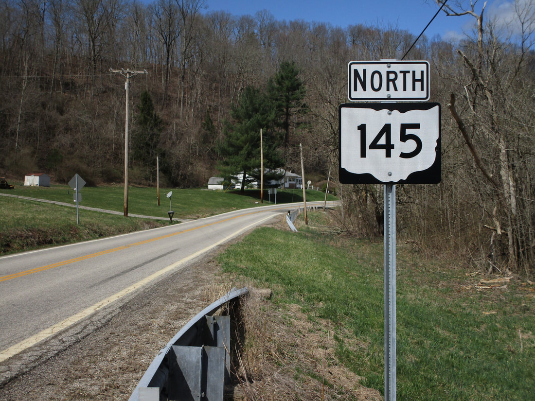
My photo of Ohio State Route 145 comes from its junction with the western end of Ohio Route 565, in southeastern Noble County. One of the route's many curves lies in the background of this photo, which shows the northbound trailblazer at the intersection. Travelers leaving the intersection toward north know that they are heading north on Ohio Route 145, thanks to this sign assembly. This photo was taken during my drive all around southeastern Ohio in March 2021.
Back to Ohio Routes 100-199.
Back to the Ohio main page.
Back to the home page.
Back to Ohio Routes 100-199.
Back to the Ohio main page.
Back to the home page.
