US Route 64 is an important east-west route sitting about three-quarters of the way down the United States, measuring from north to south. US Route 64 begins at US Route 160 in the northeast corner of Arizona, at a place called Teec Nos Pos. From there, it runs east across the northern part of New Mexico, serving as a scenic route through the Rocky Mountains. It crosses from New Mexico directly into Oklahoma, proceeding across the Oklahoma panhandle to Tulsa, where the route shifts southerly to another easterly alignment. That easterly alignment heads into central Arkansas, flanking Little Rock to the north. US Route 64 enters Tennessee at Memphis, hugging the southern border of that state, and then ending by traversing the entire width of North Carolina. The eastern end of US Route 64 sits at Nags Head, on North Carolina's Outer Banks, at a point common to the eastern end of US Route 158.
My photo of US Route 64 comes from a junction in Lawrenceburg, Tennessee, with US Route 43. This sign assembly sits at the northeast corner facing east. I took this photo driving south to the Gulf Coast for the second time. That trip in October 2016 involved me driving the whole length of US Route 43 from north to south; to this day, US Route 43 remains the single US highway numbered under 100 that I've clinched (i.e. driven from end to end).
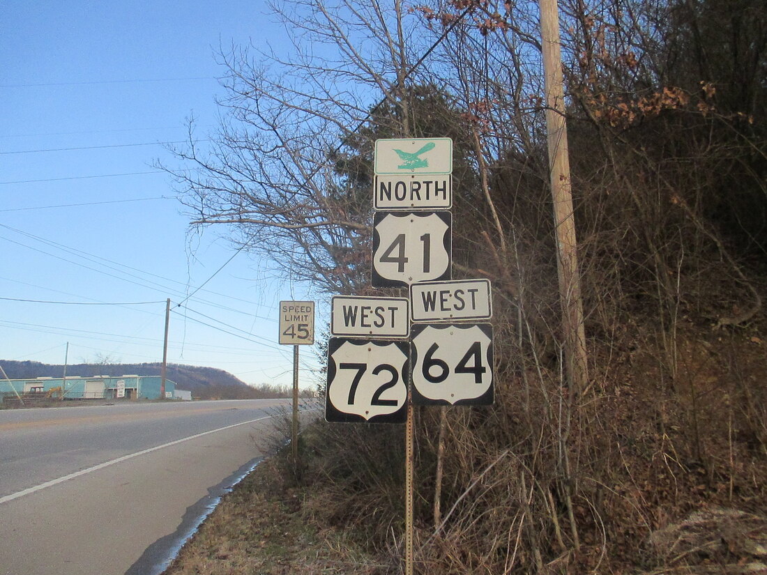
Bonus photo: US Route 64 heads west away from Interstate 24 on the western outskirts of Chattanooga, with US Route 41 and US Route 72 along for the ride:
Bonus photo: US Route 64 heads west away from Interstate 24 on the western outskirts of Chattanooga, with US Route 41 and US Route 72 along for the ride:


