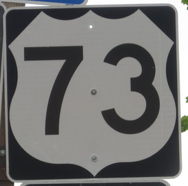
US Route 73 is the shortest of all odd-numbered routes in the seventies, running from the southeastern corner of Nebraska southeast to the Kansas City, Kansas area. The northern end is at US Route 75 in Dawson, Kansas. From there, US Route 73 zigzags east and south through southeastern Nebraska and northeastern Kansas, to end in Bonner Springs, Kansas at Interstate 70. The southern third of US Route 73 is duplexed with Kansas Highway 7, which continues south beyond Interstate 70, where US Route 73 ends. US Routes 24 and 40 both use the southernmost mile of US Route 73 to transfer from Interstate 70's eastern leg to a different alignment extending west.
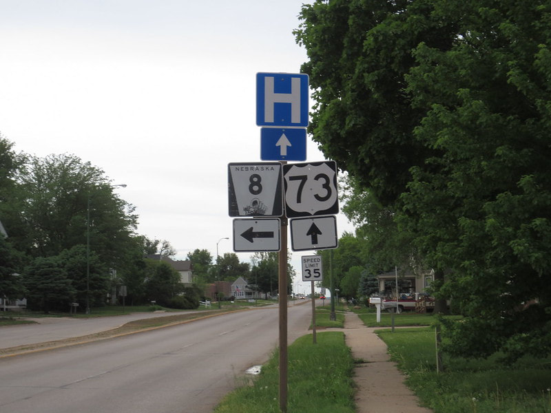
My US Route 73 photo comes from Falls City, Nebraska, the southernmost town in Nebraska traversed by US Route 73. The sign assembly depicted faces south at the junction where US Route 73 meets the eastern end of Nebraska Highway 8. US Route 159 meets US Route 73 just south of the junction where this photo was taken. Nebraska is noted for using an obnoxiously bold font for their numerals on US route markers, but I was delighted to find this typical-looking one. (If I didn't like any of the US Route signs in Nebraska, I would have just driven a few miles south into Kansas.) This photo was taken during my first trip devoted to my national route collection, driving around the vicinity of St. Joseph, Missouri in May, 2014.
Back to the nationwide main page.
Back to the home page.
Back to the nationwide main page.
Back to the home page.


