US Route 40States Traversed: Utah, Colorado, Kansas, Missouri, Illinois, Indiana, Ohio, West Virginia, Pennsylvania, Maryland, Delaware and New Jersey.
|
|
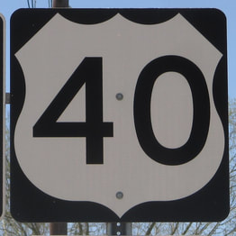
US Route 40 manifested as one of the most important travel corridors across the United States, assuming the position of the historic National Road. Today, it runs from Atlantic City, New Jersey, west to Park City, Utah. Between central Colorado and southwestern Pennsylvania, US Route 40 hugs alongside Interstate 70, its modernized counterpart. The westernmost piece of US Route 40 bends northwesterly out of northeastern Utah to Interstate 80 at Park City, where it ends. US Route 40 is a rural surface highway across northeastern Utah and northwestern Colorado, joining Interstate 70 west of Denver. Interstate 70 and US Route 40 run side-by-side with the occasional concurrency, through Denver, Salina, Topeka, Kansas City, Columbia (MO), St. Louis, Terre Haute, Indianapolis, Dayton, Columbus (OH), and Wheeling, West Virginia. At Washington, Pennsylvania, where Interstate 70 meets Interstate 79, US Route 40 diverts from Interstate 70, heading southeasterly into western Maryland. At Hancock, Maryland, Interstate 70 appears from the north once again, and US Route 40 hugs alongside that Interstate highway once again. This trend continues through Hagerstown and Frederick, but as Interstate 70 is cut off in Baltimore, US Route 40 must continue east beyond Baltimore without its Interstate companion. US Route 40 cuts northeasterly around the northern end of Chesapeake Bay to skirt across northern Delaware. The most downstream bridge over the Delaware Waterway, the Delaware Memorial Bridge, carries Interstate 295 and US Route 40 into New Jersey. US Route 40 will spend the rest of its life crossing southern New Jersey from that bridge crossing. It ends in Atlantic City.
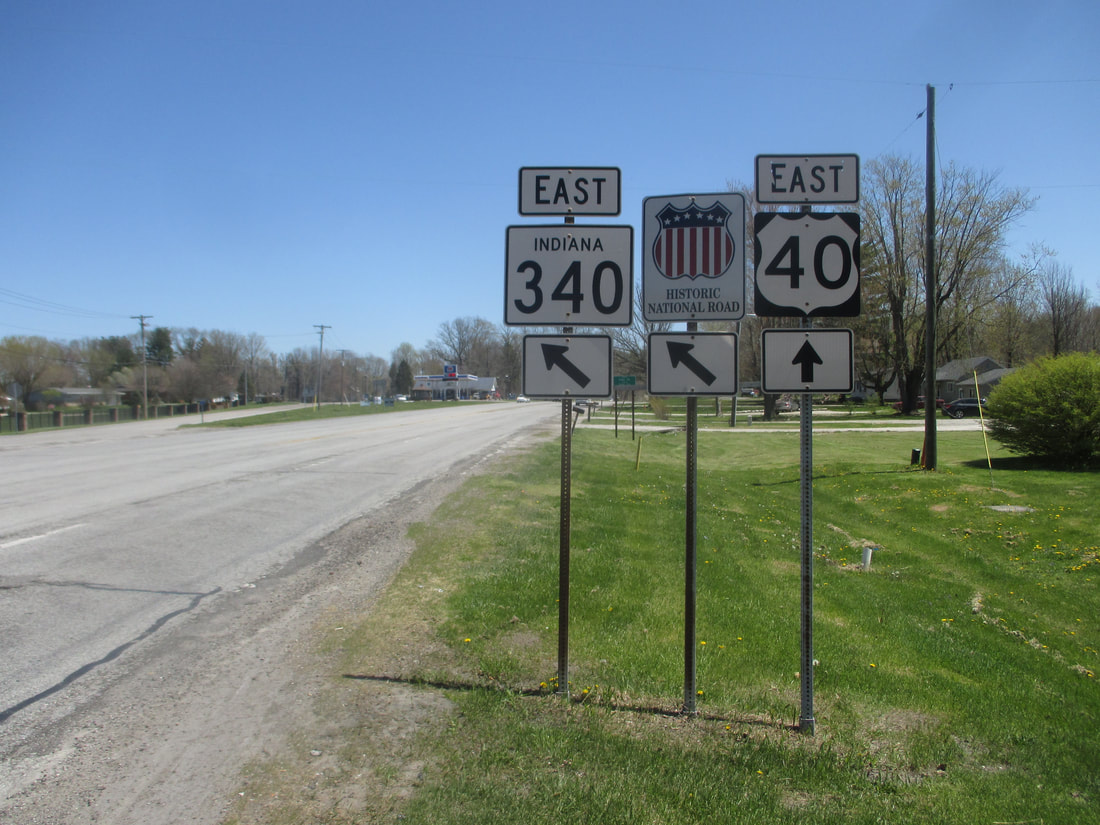
My photo of US Route 40 comes from the eastern outskirts of Terre Haute, Indiana, where Indiana State Route 340 has its western terminus. The guide assembly in the photo faces west, showing eastbound travelers where to turn onto Indiana State Route 340. This photo was taken in April 2018, during a trip focused on photographing state route markers in southern Indiana and southwestern Ohio.
Back to the nationwide main page.
Back to the home page.
Back to the nationwide main page.
Back to the home page.
