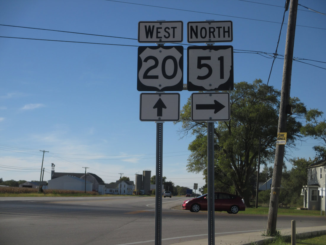
Ohio State Route 51 runs northwest-southeast through the heart of Toledo, extending to Sylvania in the northwest and to west-central Sandusky County at its southeastern reaches. The northwestern end is an interchange with US Route 23's freeway section in Sylvania, a suburb of Toledo. This northwestern endpoint is common to the western end of Ohio Route 184, and it's also common to the southeastern end of US Route 223, for some reason. Ohio Route 51 cuts southeasterly right through downtown Toledo, and proceeds into suburbs on the other side of the city, like Northwood, where Ohio Route 51 meets an interchange with Interstate 280. At Elmore, where it meets Ohio Route 105, Ohio Route 51 bends from a southeasterly path into its final southbound segment. This southbound segment meets an interchange with Interstates 80 and 90 (the Ohio Turnpike), and then promptly ends at US Route 20 east of Woodville.
My photo of Ohio State Route 51 comes from the southeastern end at US Route 20, near Woodville. The guide markers depicted face east to westbound travelers on US Route 20. This photo was taken during the elaborate Toledo detour I took on the way home from a trip to West Virginia in October 2016.
Back to Ohio Routes 1 through 99.
Back to the Ohio main page.
Back to the home page.
Back to Ohio Routes 1 through 99.
Back to the Ohio main page.
Back to the home page.

