Michigan Highway 50 runs northwest-southeast from near Grand Rapids to near Toledo, Ohio. It's entirely a rural surface road starting at Interstate 96 just south of Lowell. It begins running south and east on a jagged path to a spot near Lake Odessa. Beyond there, it runs southeast through Charlotte, Eaton Rapids, Jackson, and Brooklyn. As it crosses US Route 12 south of Brooklyn, it bends into an east-southeasterly path bound straight for Monroe, on the western shore of Lake Erie. After passing through Tecumseh and Dundee on this east-southeasterly road, Michigan Highway 50 ends in Monroe at US Route 24, which runs mainly north-south while in Michigan.
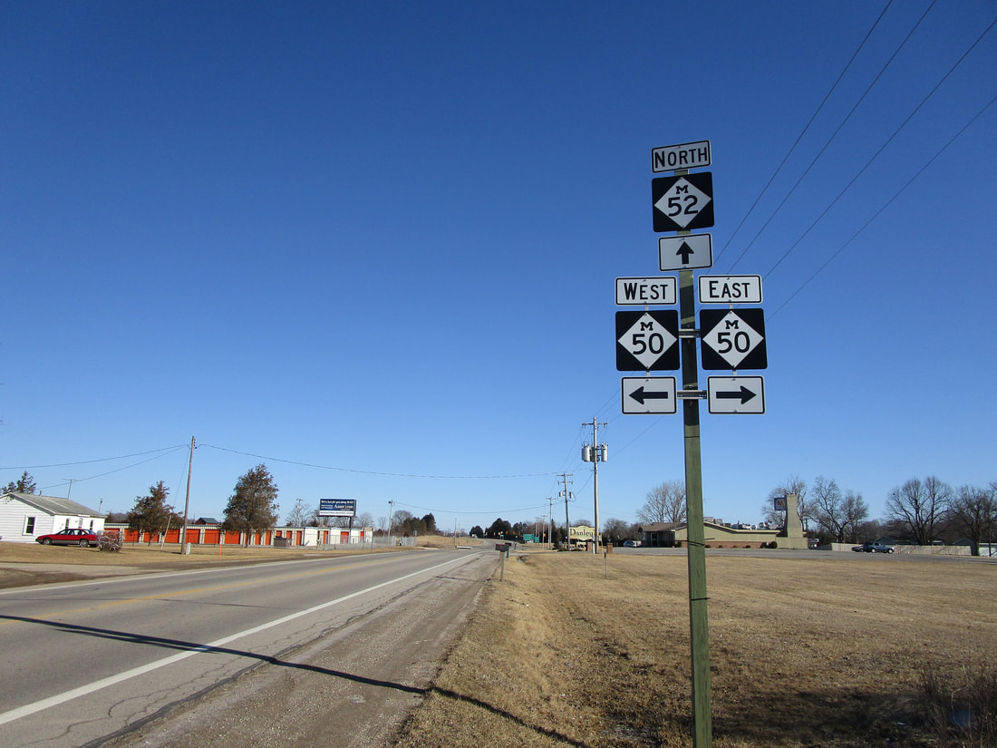
My photo of a Michigan Highway 50 marker comes from its intersection with Michigan Highway 52 near Tecumseh, Michigan. Travelers heading north on Michigan Highway 52 will notice this signage as they approach the 4-way intersection, as Michigan Highway 50 runs east-west with a slight southeast-northwest tilt. This photo was taken in March 2019, as I was gallivanting around central and south-central Michigan.
Here are some more photos from along Michigan Highway 50:
Here are some more photos from along Michigan Highway 50:
Midway between Grand Rapids and Lansing, at a point east of Lake Odessa, Michigan 43 and Michigan 50 share some pavement for a few miles. Once that's over, the two routes split to continue easterly, or in M-50's case, southeasterly.
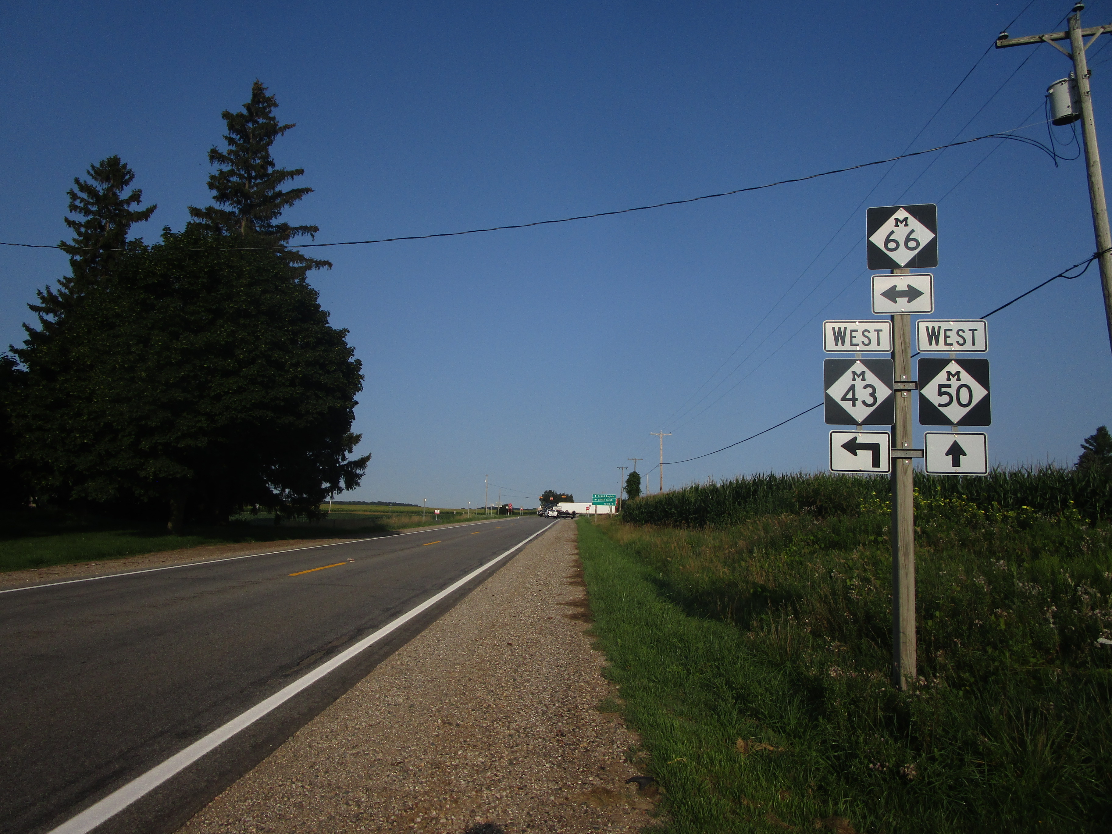
The western end of the concurrency shared with Michigan 43 occurs at this crossing with Michigan 66. This photo looks west toward the crossroads, where Michigan 43 comes from the south to join Michigan 50 east for a spell.
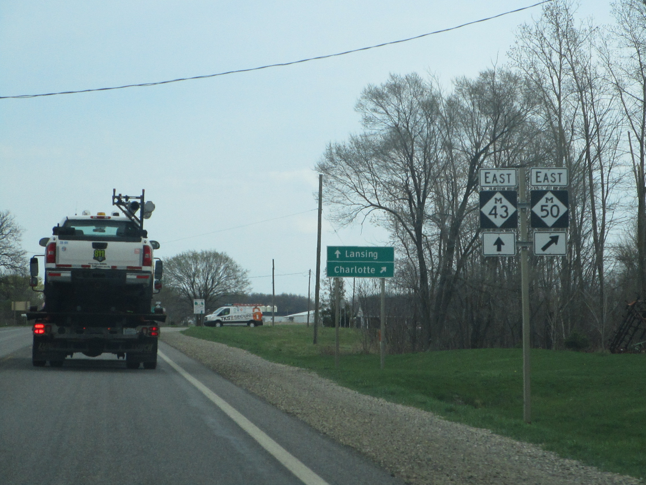
Michigan Highway 50 heads south through Charlotte, past the eastern end of Michigan Highway 79. Michigan 50 will soon turn easterly again, toward Interstate 69.
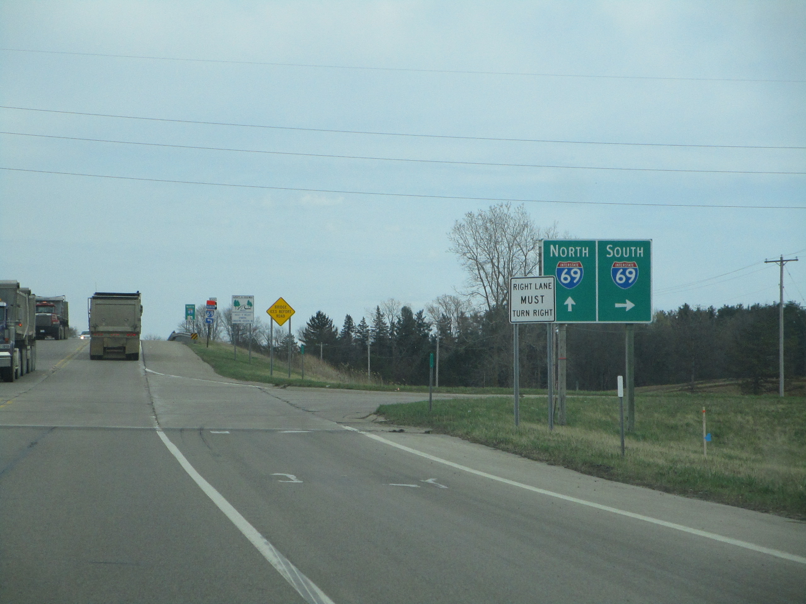
Now, Michigan 50 heads east out of Charlotte, through the interchange with Interstate 69.

Michigan 50, having joined Michigan 99 south, meets the northwestern end of Michigan 188 in Eaton Rapids.

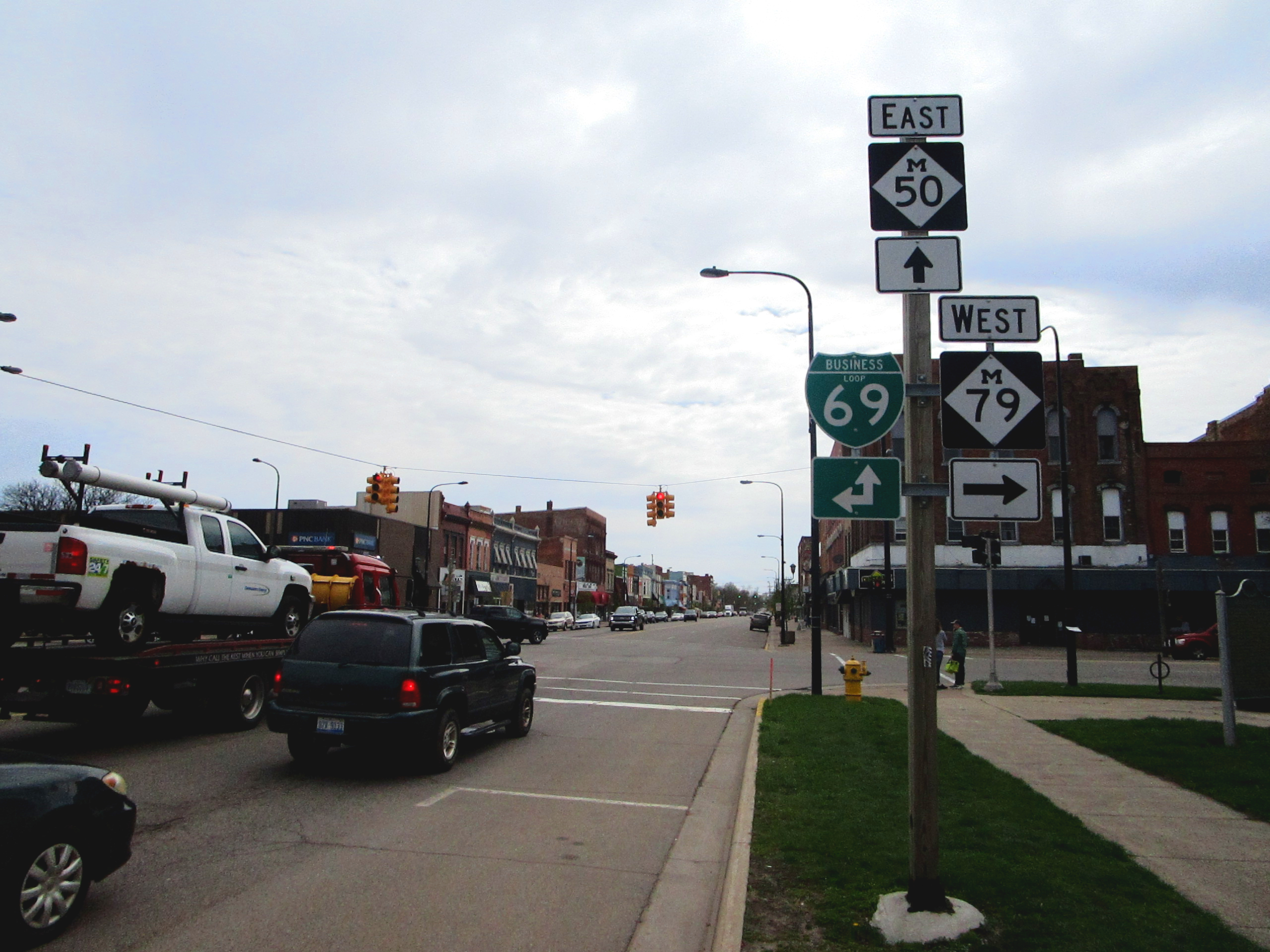
Michigan 50 joins US Route 127 as the two routes approach Jackson. Michigan 50 will navigate through the Jackson area by piggybacking on the freeways of US Route 127 and Interstate 94.
