Ohio State Route 78 is an east-west highway in southeastern Ohio, running in Athens, Morgan, Noble, and Monroe Counties. The route is important to Morgan, Noble, and Monroe Counties, as it serves the seats of all three counties. The western end is at US Route 33 on the east side of Nelsonville, north of Athens. From there, Ohio Route 78 heads northeast through Glouster to McConnelsville. Ohio Route 78 then meets Interstate 77 in Caldwell, and it meets Ohio Routes 26 and 800 in Woodsfield. Finally, Ohio Route 78 proceeds to the eastern edge of Ohio, or the western bank of the Ohio River, where the route ends at Ohio Route 7.
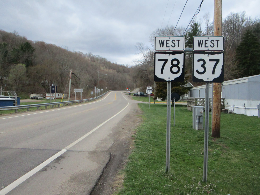
My photo of Ohio State Route 78 comes from Malta, the town across the Muskingum River from McConnelsville. The pair of trailblazers shown indicates that the road is carrying Ohio Route 37 and Ohio Route 78 west from the roundabout in Malta, which serves as the southern end of Ohio Route 669. Those leaving the roundabout toward the west will see the scene shown above. This photo was taken in March 2021, during my grand tour of southeastern Ohio.
Back to Ohio Routes 1 through 99.
Back to the Ohio main page.
Back to the home page.
Back to Ohio Routes 1 through 99.
Back to the Ohio main page.
Back to the home page.
