Ohio State Route 7, the longest state route in Ohio, hugs the entire eastern edge of Ohio, including the border with Pennsylvania and with West Virginia. The southern end, a trumpet interchange at US Route 52, sits across the Ohio River from the west side of Huntington, West Virginia. From here, Ohio Route 7 runs easterly and northerly, hugging the northwest shore of the Ohio River all the way to East Liverpool, across from the northern tip of the West Virginia panhandle. At East Liverpool, Ohio Route 7 turns away from the Ohio River and begins to parallel the Pennsylvania border. It passes through Youngstown, and eventually ends in Conneaut, in the northeastern corner of Ohio, at Ohio Route 531.
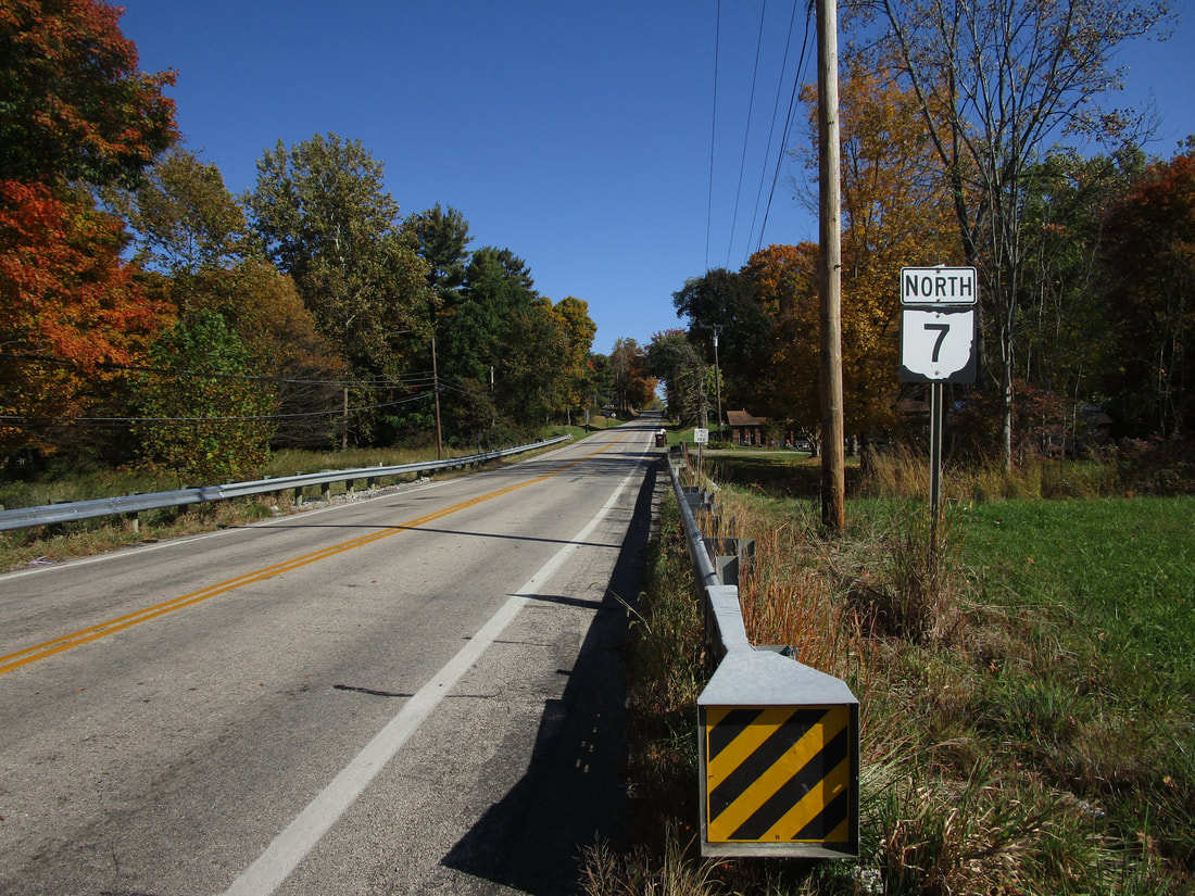
My photo of Ohio State Route 7 signage shows a northbound trailblazer that appears at the point where Ohio Route 5 splits off to the east. This is at the north end of the concurrency with Ohio Route 5, near Kinsman, in Trumbull County. Travelers read this sign to find out that they successfully stayed on Ohio Route 7 northbound, but they're not on Ohio Route 5 anymore. This photo was taken in October 2022, as part of the grand tour around the northeastern quarter of Ohio.
Back to Ohio Routes 1 through 99.
Back to the Ohio main page.
Back to the home page.
Back to Ohio Routes 1 through 99.
Back to the Ohio main page.
Back to the home page.

