Michigan Highway 19 is north-south highway in Michigan's Thumb, in the east-central part of the state. It's the second most easterly longitudinal highway in the Thumb region of Michigan, so it doesn't get the distinction of following the Saint Clair River or the shore of Lake Huron; that's the job of Michigan Highway 29 and Michigan Highway 25. A partial interchange with Interstate 94 marks the southern end of Michigan Highway 19; this interchange near New Haven only provides access toward or away from Detroit. The road carrying Michigan Highway 19 here continues farther south into New Baltimore to meet Michigan Highway 29, without the state highway designation. The northern end of Michigan Highway 19 doesn't quite reach the tip of the thumb; it only makes it to Michigan Highway 142 just east of Bad Axe. A good number of rural Michigan towns are served by Michigan Highway 19, like Ubly, Sandusky, Peck, Yale, Emmett, Memphis, and Richmond.
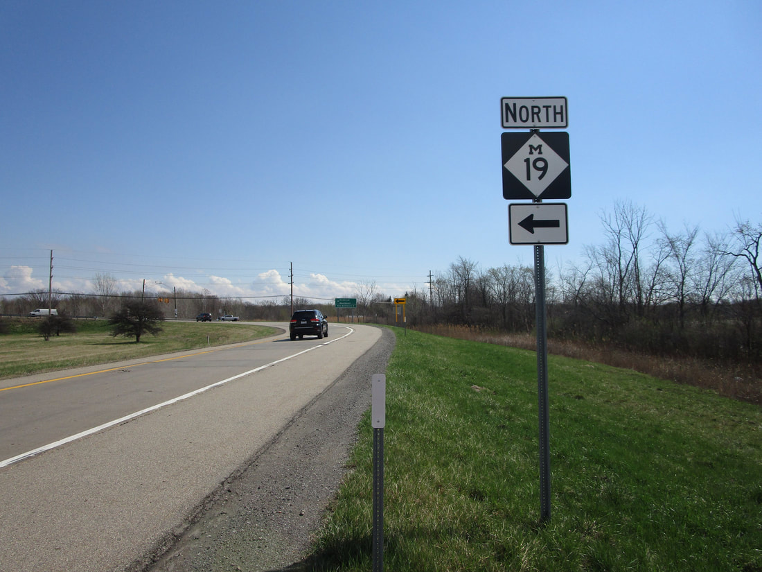
My photo of a route marker for Michigan Highway 19 comes from the eastbound offramp at Interstate 94, at the southern end of the state highway. The partial interchange is designated as exit 247, situated near New Haven, Michigan. This photo of the guide marker was taken in April 2021, during my trip to Metro Detroit and the Thumb of Michigan.
Back to the Michigan main page.
Back to the home page.
Back to the Michigan main page.
Back to the home page.

