Ohio State Route 14 runs southeasterly from Cleveland in northeast Ohio. In fact, it begins at the Public Square in Downtown Cleveland, home of many route termination points. Signage isn't highly evident at the very start of the route, but signage is readily apparent as it splits from US Route 422 and Orange Avenue, onto 14th Avenue and Broadway. Broadway is the street in the Cleveland area predominantly carrying Ohio Route 14. Near Bedford, Ohio Route 14 jumps on Interstate 271 south for a short spell, so it can join the short southeasterly bit of Interstate 480 at the eastern end of that freeway. As Interstate 480 ends at Interstate 80, Ohio Route 14 continues onward into Streetsboro and beyond. The state highway continues southeast. After bypassing downtown Ravenna to the north, it reaches Salem, where it bends into an easterly direction. Ohio Route 14 reaches Columbiana, and enters its final stretch. On the north side of East Palestine, Ohio Route 14 ends at the Pennsylvania border. It ends becoming Pennsylvania State Highway 51, bound for Beaver, Pennsylvania.
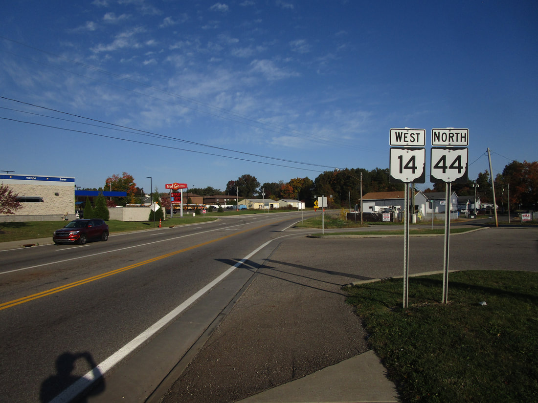
My photo of Ohio State Route 14 signage shows a westbound trailblazer at Ohio Route 88 on the northeast side of Ravenna. As you can see, this part of Ohio Route 14 is concurrent with Ohio Route 44; the concurrency ends just shortly toward the west, into the photo. This photo was taken in October 2022 as part of the grand tour around the northeastern quarter of Ohio.
Back to Ohio Routes 1 through 99.
Back to the Ohio main page.
Back to the home page.
Back to Ohio Routes 1 through 99.
Back to the Ohio main page.
Back to the home page.
