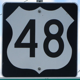
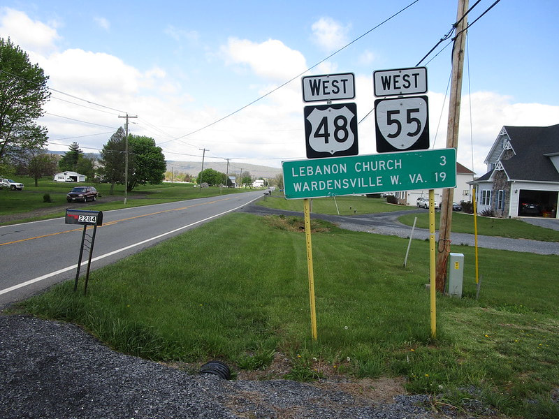
US Route 48 is a newer route, running east from Weston, West Virginia, to Strasburg, Virginia. US Route 48 starts out at Interstate 79 in Weston, on a road that also carries US Route 33 and US Route 119 eastward out of town. US Route 119 splits away at Buckhannon, and US Route 33 splits away at Elkins. From Elkins, US Route 48, finally on its own, continues east into the eastern arm of West Virginia. It crosses out of West Virginia's eastern "armpit" (that's not a real term, I made it up) into Virginia's northern corner. It ends at Interstate 81 in Strasburg, becoming Virginia State Route 55, after less than fifteen miles in Virginia. US Route 48 parallels US Route 50 to the south, about as well as a highway can accomplish this in the Appalachian Mountains.
My photo of US Route 48 is one of the first trailblazers one would find heading west from the eastern endpoint in Strasburg, Virginia. It doesn't sit right at the interchange with Interstate 81 that serves as the eastern terminus, but it's only about a mile down the road. The photo was taken in April 2021 as part of the Virginia trip. I snapped this context photo of the sign assembly showing some of the road in the background, but to get a shield image for the shield gallery, I had to rotate my camera to line up the top edge of the viewfinder with the top edge of the leaning route marker. This meant I didn't have to rotate the shield photo in post-production, to get the shield cutout image at the top of the page.
Back to the nationwide main page.
Back to the home page.
Back to the nationwide main page.
Back to the home page.


