Michigan Highway 18 is a north-south highway at the base of the Lower Peninsula's "fingers", about thirty miles west of Saginaw Bay. The southern end of the highway is at US Route 10, west of Midland. From there, Michigan Highway 18 runs north through Beaverton, Gladwin, Prudenville, and Roscommon. At Roscommon, the highway jogs east before reaching its final northerly stretch. That stretch ends at Michigan Highway 72 about halfway between Grayling and Mio.
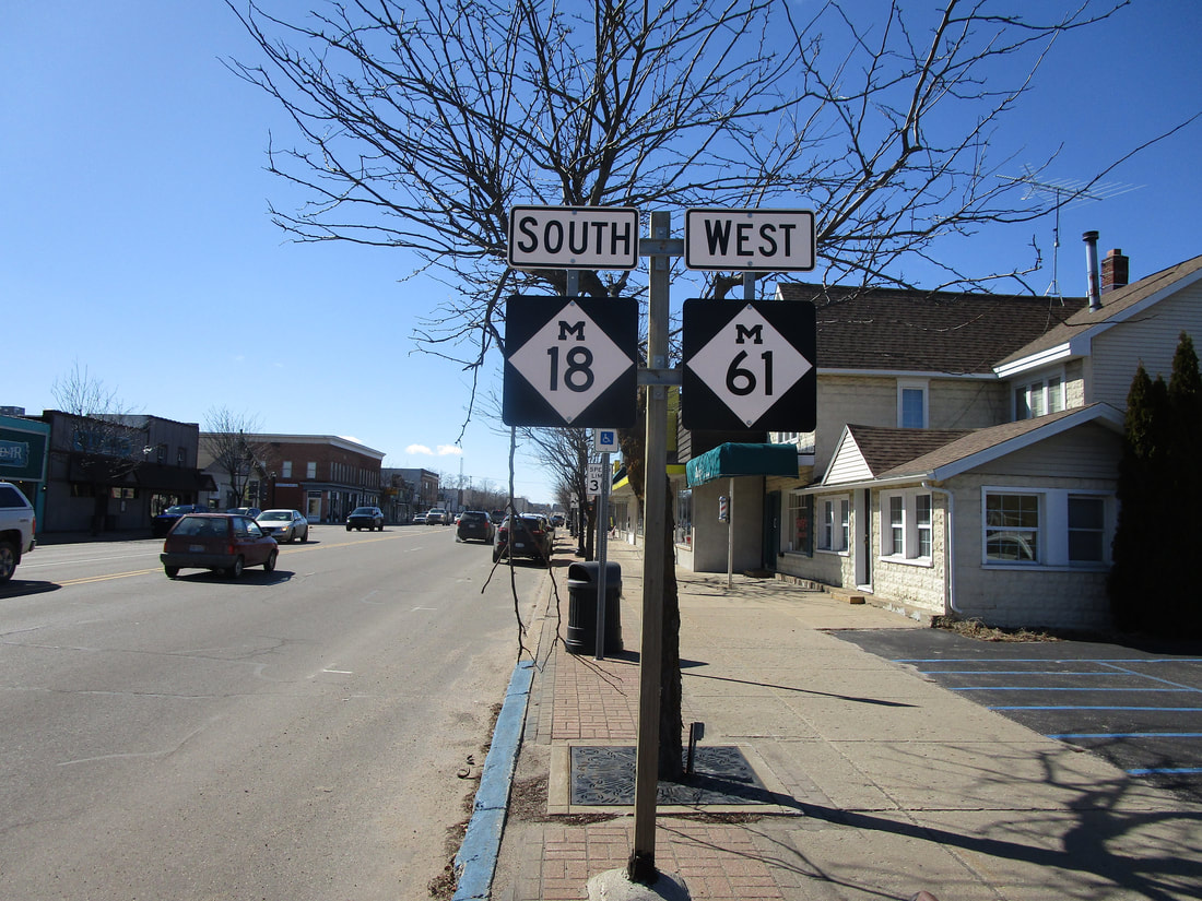
My photo of Michigan Highway 18 comes from the eastern end of its concurrency with Michigan Highway 61, in Gladwin. There, Michigan Highway 18 just come from the north to join Michigan Highway 61 westward. That concurrency only lasts for about a mile. The sign assembly shown communicates to westbound travelers on Michigan Highway 61 that Michigan Highway 18's southward travelers are also along for the ride, for the time being. This photo was taken in March 2019, during a trip around central and south-central Michigan.

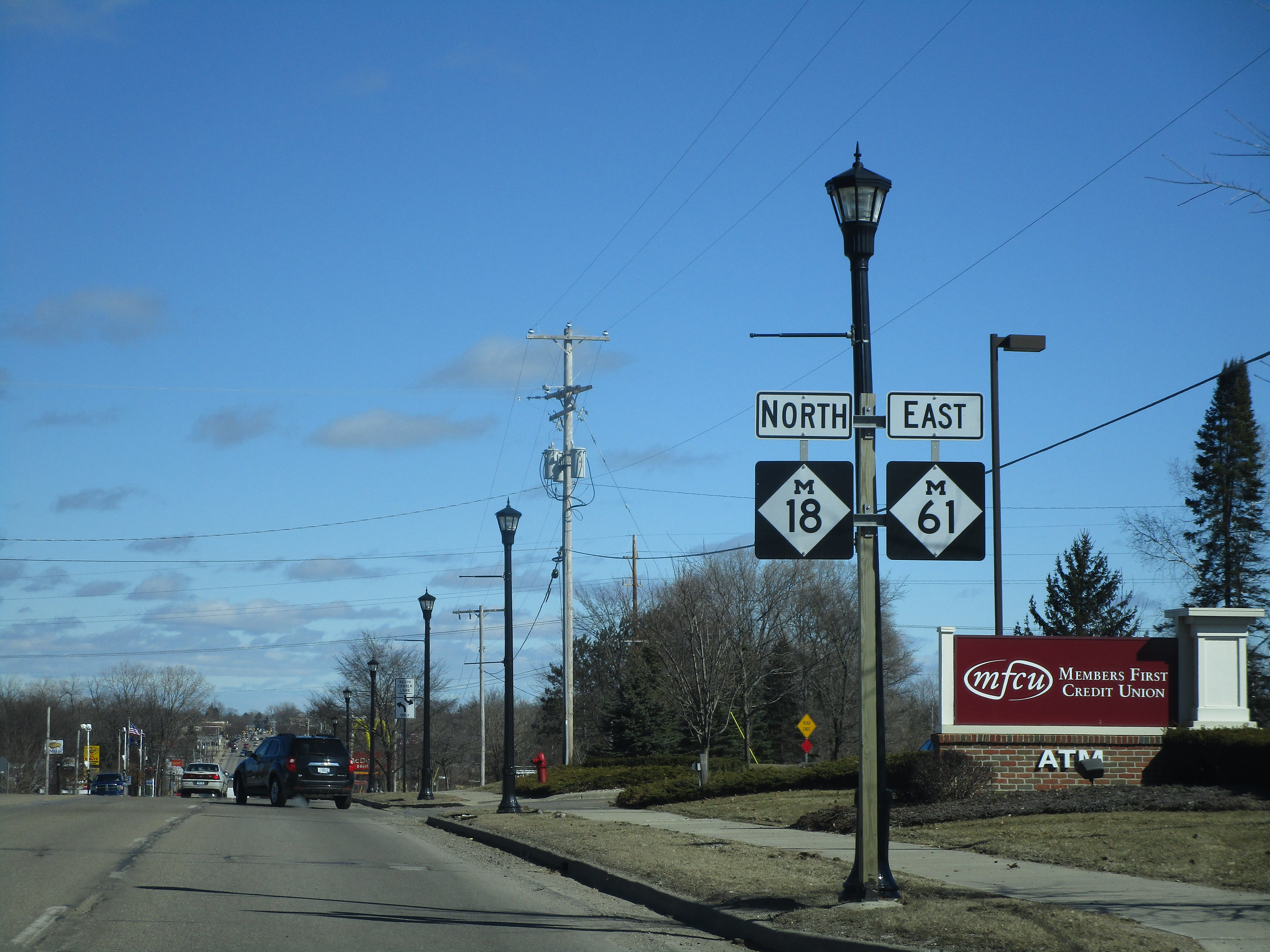
Northbound Michigan Highway 18 as it is about to turn right onto Michigan Highway 61.

Michigan Highway 18 after it joins Michigan Highway 61 east, in Gladwin.

A sign pointing drivers to Michigan Highway 18 on the eastbound offramp from US Highway 10. This is at the interchange marking the southern end of Highway 18.

A northbound reassurance marker for Michigan Highway 18 in Beaverton.

