US Route 65States traversed: Minnesota, Iowa, Missouri, Arkansas, Louisiana
|
|
US Route 65 runs north-south through central Iowa, central Missouri, north-central Arkansas, southeastern Arkansas, and northeastern Louisiana. The northern end is barely north of the Minnesota/Iowa state line, in Albert Lea, Minnesota, at Interstate 35. That northernmost segment of US Route 65 is concurrent with US Route 69, and both routes end at the same interchange with Interstate 35, which sits just south of Interstate 90. US Route 65 stays east of Interstate 35 in Iowa and Missouri, poking a little westward to connect with Des Moines. In Missouri, US Route 65 is the main north-south highway through Springfield and Branson. When it reaches Arkansas, US Route 65 turns a little southeast to descend into Little Rock. The southeasterly bent continues into southeastern Arkansas, where US Route 65 begins following the western bank of the Mississippi River south into Louisiana. US Route 65 ends in eastern Louisiana, at US Route 425, across the river from Natchez, Mississippi. The Natchez area is home to US Route 61 and US Route 84, plus two more US highway endpoints for US Routes 98 and 425.
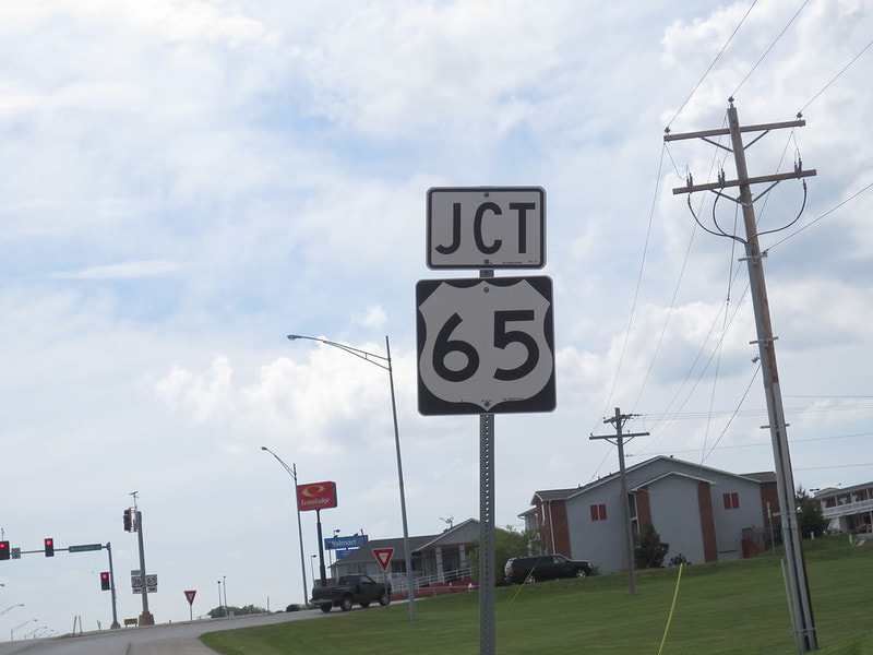
My photo of US Route 65 signage shows a junction marker photographed in Trenton, Missouri. This junction marker serves eastbound travelers on Missouri Highway 6. I took this photo on the way to south-central Ohio to kickoff a trip in February 2024 clinching Interstate 35 through Iowa.
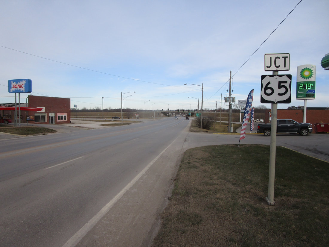
Another older photo of US Route 65 was featured on this page previously, and that photo appears below. It shows another junction marker in Missouri, but this junction marker sat along Business US Route 36 in Chillicothe. This westbound junction marker was photographed in May, 2014, on the way to St. Joseph, Missouri along US Route 36.
Another older photo of US Route 65 was featured on this page previously, and that photo appears below. It shows another junction marker in Missouri, but this junction marker sat along Business US Route 36 in Chillicothe. This westbound junction marker was photographed in May, 2014, on the way to St. Joseph, Missouri along US Route 36.