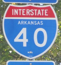
Interstate 40 is the third-longest Interstate in the United States, running from the Pacific coastal state of California to the Atlantic coastal state of North Carolina. Interstate 40's western extent doesn't quite reach the Pacific coast, ending at Interstate 15 in Barstow, California. Most traffic meeting the western end joins Interstate 15 south to the metropolises of southern California. Interstate 40 heads west out of California across northern Arizona and northern New Mexico, passing through Flagstaff, Arizona, and Albuquerque, New Mexico. After that, Interstate 40 cuts across Texas's northern panhandle, including Amarillo. The freeway passes through the middle of Oklahoma, serving Oklahoma City, to reach the Arkansas border near Fort Smith. Interstate 40 continues east across the middle of Arkansas, serving Little Rock. It crosses the Mississippi River out of Arkansas into Memphis, Tennessee, moving onward to cross the entire width of Tennessee. It becomes the major east-west highway through Jackson, Nashville, and Knoxville in that state. Interstate 40 then enters its final state, North Carolina, crossing the Great Smoky Mountains, but it has a long way to go before reaching the coast at this point. Interstate 40 heads east through Asheville, Hickory, Statesville, Winston-Salem, Greensboro, and Durham, before reaching Raleigh, where the route turns south-southeasterly. (To continue east from Raleigh, consider using US Route 64 or US Route 264.) The south-southeasterly path chosen by Interstate 40's easternmost segment serves the purpose of reaching the port city of Wilmington, North Carolina, on the Atlantic Coast. Interstate 40 ends pointing southward, merging with US Route 117's southward alignment into Wilmington.
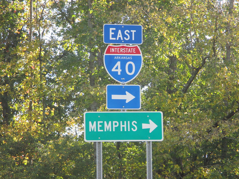
My photo of an Interstate 40 marker comes from an Arkansas rest area, accessed from an eastbound carriageway on the Interstate. The rest area is near Biscoe, Arkansas. This photo was taken on the way home from the first Gulf Coast trip, in October 2014.
Back to the nationwide main page.
Back to the home page.
Back to the nationwide main page.
Back to the home page.


