Iowa Route 175 is a long east-west route from the Nebraska border east to near Waterloo. Sandwiched between US Route 20 and US Route 30, Iowa Route 175 cuts across what is roughly the western two-thirds of the state of Iowa. The westernmost stretch of Iowa Route 175 dives southwesterly through the Loess Hills, culminating in a bridge across the Missouri River to Decatur, Nebraska. Iowa Route 175 becomes Nebraska Highway 51 on the other side of the state border. The eastern end of Iowa Route 175 is at US Route 63, about 10 miles south of Waterloo.
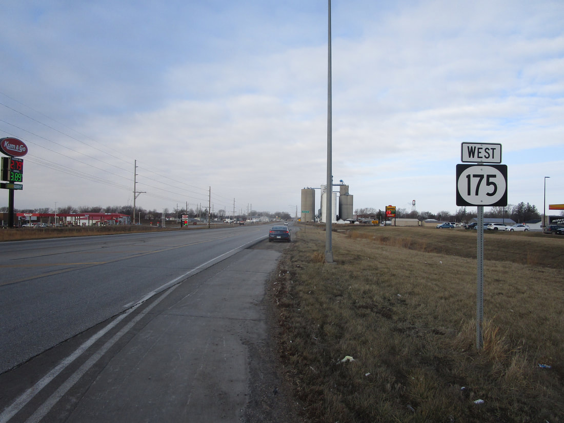
My photo of Iowa Route 175 shows a westbound trailblazer serving those leaving the interchange with Interstate 35. This is at the tiny town of Ellsworth, outside of a couple truck stops. The aperture looks west at what a driver will see when they depart from the interchange toward the west. This photo was taken in February 2024. An older photo for Iowa Route 175 once sat on this page and represented the shield image on the menu page as well, seen below.
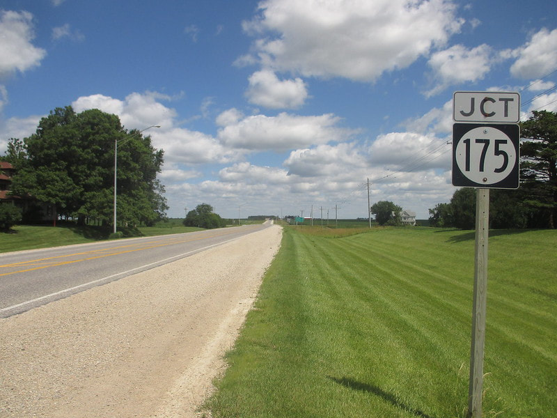
This older photo used to hold center state on this webpage. It shows the northbound junction marker on US Route 63, at the eastern end of Iowa Highway 175. This photo was taken on July 1, 2017 along part of my trip across eastern Iowa.
Back to the Iowa main page.
Back to the home page.
Back to the Iowa main page.
Back to the home page.
