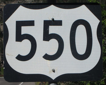
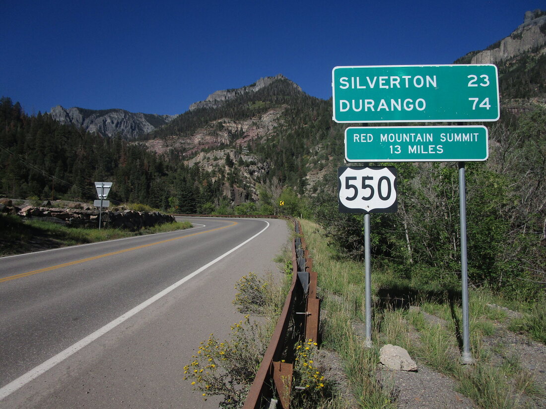
US Route 550 runs from Montrose, in west-central Colorado, to the metropolitan area of Albuquerque, in north-central New Mexico. In Colorado, US Route 550 runs north-south, but it bends southeasterly once it works its way into New Mexico. The northern end of US Route 550 is at US Route 50 on the north side of Montrose, where US Route 50 turns onto a bypass around the north side of that town. The southern end of US Route 550 is in Bernalillo, New Mexico, at Interstate 25. Bernalillo is at the northern end of the Albuquerque metroplex.
My photo of US Route 550 is a reassurance marker shown to those leaving the town of Ouray, Colorado, toward the south. This photo was taken going from Montrose to Durango, along a route from Black Canyon of the Gunnison to Mesa Verde National Park. This was along a trip to the four Colorado national parks at the beginning of September, 2022.
Back to the nationwide main page.
Back to the home page.
Back to the nationwide main page.
Back to the home page.


