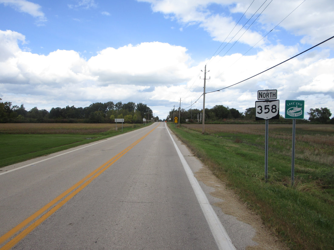
Ohio State Route 358 is a tiny north-south route in Ottawa County. It runs north from Ohio Route 163 to the entrance to Camp Perry, a military installment along the shores of Lake Erie. From Ohio Route 163, Ohio Route 358 runs north for almost one mile. The northern end is at Ohio Route 2, at a four-way intersection whose north leg is the access road to Camp Perry. All of Ohio Route 358 is a few miles west of Port Clinton, Ohio.
My photo of Ohio Route 358 shows the first northbound trailblazer, at the south end of the route. Travelers from Ohio Route 163 will see the scene shown here, including the trailblazer, immediately after completing a turn toward the north onto Ohio Route 358. This photo was taken in October 2023, as I was finishing my route photo collection for the state of the Ohio, driving around the north-central part of the state. (Fun fact: Ohio Route 358 was the second-to-last route I photographed in Ohio.)
Back to Ohio Routes 300-499.
Back to the Ohio main page.
Back to the home page.
Back to Ohio Routes 300-499.
Back to the Ohio main page.
Back to the home page.

