Ohio State Route 703 begins in Saint Marys, and curls around the northern, western, and southwestern sides of Lake Saint Marys. If Ohio was a clock, Lake Saint Marys sits right at where the 10 would appear (assuming the "12" is up and that north is up). At the intersection of Spring Street and Main Street in Saint Marys, Ohio, Ohio Route 703 is born, and it begins to move westward. Ohio Route 116 is also born, and it heads northerly, along Ohio Route 29. Ohio Route 29 comes from the north to turn eastward, and Ohio Route 66 comes from the south to head easterly. It's a complex intersection. Ohio Route 703 gets away from the complexity to head west, turn north for a few blocks, and continue westerly out of Saint Marys. Ohio Route 364, which just got done heading northerly along the east side of Lake Saint Marys, joins Ohio Route 703. Ohio Route 364 soon splits to the north, but Ohio Route 703 continues west along the entire northern edge of the lake. Reaching the northwestern corner of the lake puts Ohio Route 703 in Celina, where it turns southerly along US Route 127. The concurrency with US Route 127 follows the western edge of Lake Saint Marys. When the lakeshore begins to bend southeasterly, Ohio Route 703 splits to continue following the lakeshore, while US Route 127 continues due south. Ohio Route 703's only remaining task, though, is to reach southeasterly to the town of Montezuma, where it ends at Ohio Route 219.
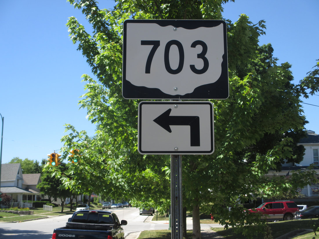
My photo for Ohio Route 703 comes from Saint Marys, where it turns from Wayne Street onto Jackson Street. As Ohio Route 703 gets started, it heads west for one block, then north for three blocks. The sign in the photo informs travelers on the north end of that three-block jaunt northward that the route is about to turn left toward the west. This photo was taken on the way home from Columbus in June 2016.
Back to Ohio Routes 700 and up.
Back to the Ohio main page.
Back to the home page.
Back to Ohio Routes 700 and up.
Back to the Ohio main page.
Back to the home page.

