Michigan Highway 20 runs west from Midland to a spot near the Lake Michigan shoreline, north of Muskegon. Besides Midland, Mount Pleasant and Big Rapids are also served by Michigan Highway 20. The western end of Michigan Highway 20 occurs at a freeway split on the east side of Midland; US Route 10's westward journey as a freeway takes a turn to bypass Midland to the north, and a fork in the road creates both a business alignment through Midland and Michigan Highway 20, which head westerly as the same road. In downtown Midland, Michigan Highway 20 splits from Business US Route 10, and it starts out on its own trek across the Lower Peninsula. Michigan Highway 20 heads west on a fairly straight path through Mount Pleasant, then it zigzags its way northwest to Big Rapids. At Big Rapids, Michigan Highway 20 joins US Route 131 south to a separate westerly road through White Cloud and Hesperia. Near the town of New Era, just north of Muskegon, Michigan Highway 20 ends at US Route 31, a few miles from Lake Michigan.
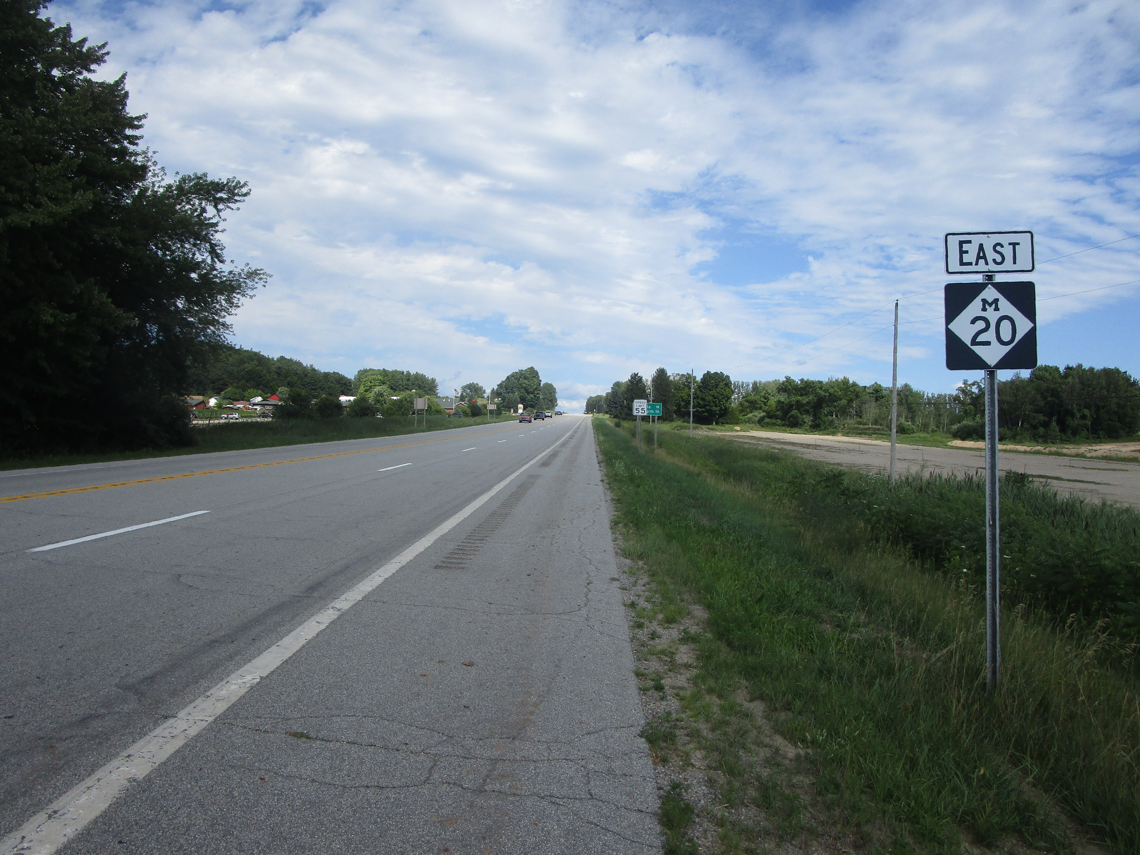
My photo of Michigan Highway 20 comes from the route's western end at US Route 31 south of Shelby, in west-central Michigan. This is the first eastbound trailblazer seen by drivers who are departing from the interchange with US Route 31. This photo was taken driving from Ludington to Grand Rapids on a road trip in July 2023.
Back to the Michigan main page.
Back to the home page.
Back to the Michigan main page.
Back to the home page.
