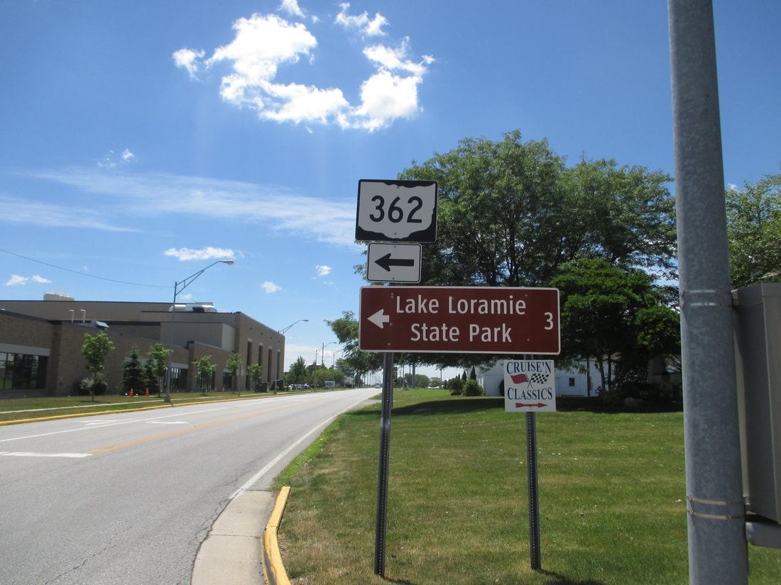
Ohio State Route 362 is a route shaped like a backwards "C" (or a close parenthesis), meant to serve the western shore of Lake Loramie. Lake Loramie, and Ohio Route 362, are in southwestern Auglaize County and northwestern Shelby County. The northern end of Ohio Route 362 is in Minster, at Ohio Route 66. The southern end will also occur at Ohio Route 66, but not until Ohio Route 362 heads east, curves south, and juts back to the west. The last mile of Ohio Route 362 cuts westerly into the town of Fort Loramie, where it ends a block north of Ohio Route 705. It's impressive how many routes numbered in the 360s all manage to serve a state park and a lake.
My photo of Ohio Route 362 signage comes from the northern end in Minster. The signage depicted helps southbound travelers on Ohio Route 66 find the left turn onto the northern beginning of Ohio Route 362. This photo was taken on the way home from Columbus in June 2016.
Back to Ohio Routes 300-499.
Back to the Ohio main page.
Back to the home page.
Back to Ohio Routes 300-499.
Back to the Ohio main page.
Back to the home page.

