^Northbound trailblazer at the Will/Kankakee County Line on a foggy morning in September, 2022.
Illinois Route 1 is the longest state highway in Illinois, running from Chicago south to Cave-in-Rock. Cave-in-Rock is a small town in the southeastern corner of Illinois, home to Cave-in-Rock State Park, boasting a cave overlooking the Ohio River. In Cave-in-Rock, Illinois Route 1's southern end is the dock to a ferry across the Ohio River into Kentucky. For most of its length, Illinois Route 1 is the easternmost north-south highway in Illinois. It passes through Chicago's south side, many southern suburbs, Danville, Mount Carmel, and a variety of other towns.
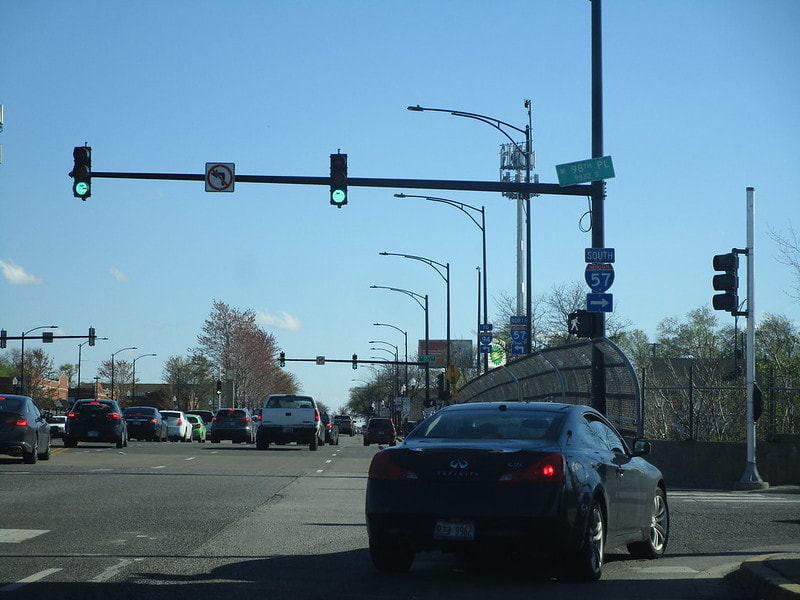
Illinois 1's northern end is an interchange with Interstate 57's northernmost segment, and it gets its start heading south on Halsted Street on Chicago's South Side:
Illinois 1's northern end is an interchange with Interstate 57's northernmost segment, and it gets its start heading south on Halsted Street on Chicago's South Side:
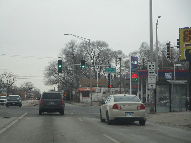
Illinois 1 crosses Illinois 83 where Harvey meets Riverdale:
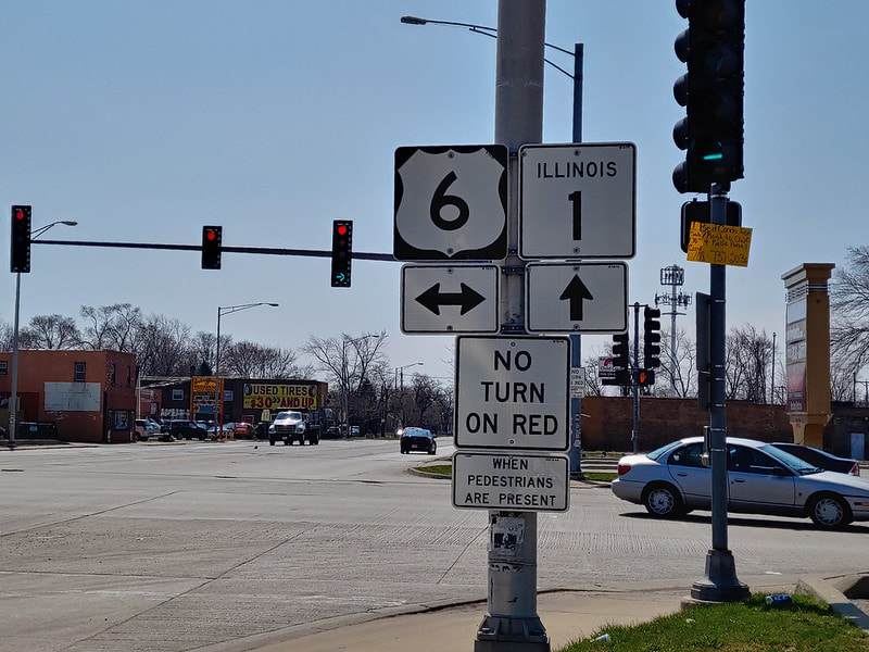
Still in Harvey, Illinois 1 crosses US Route 6:
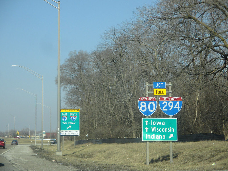
Crossing into the Homewood area, Illinois 1 meets an interchange with Interstates 80 and 294 (which run together on the same tollway):
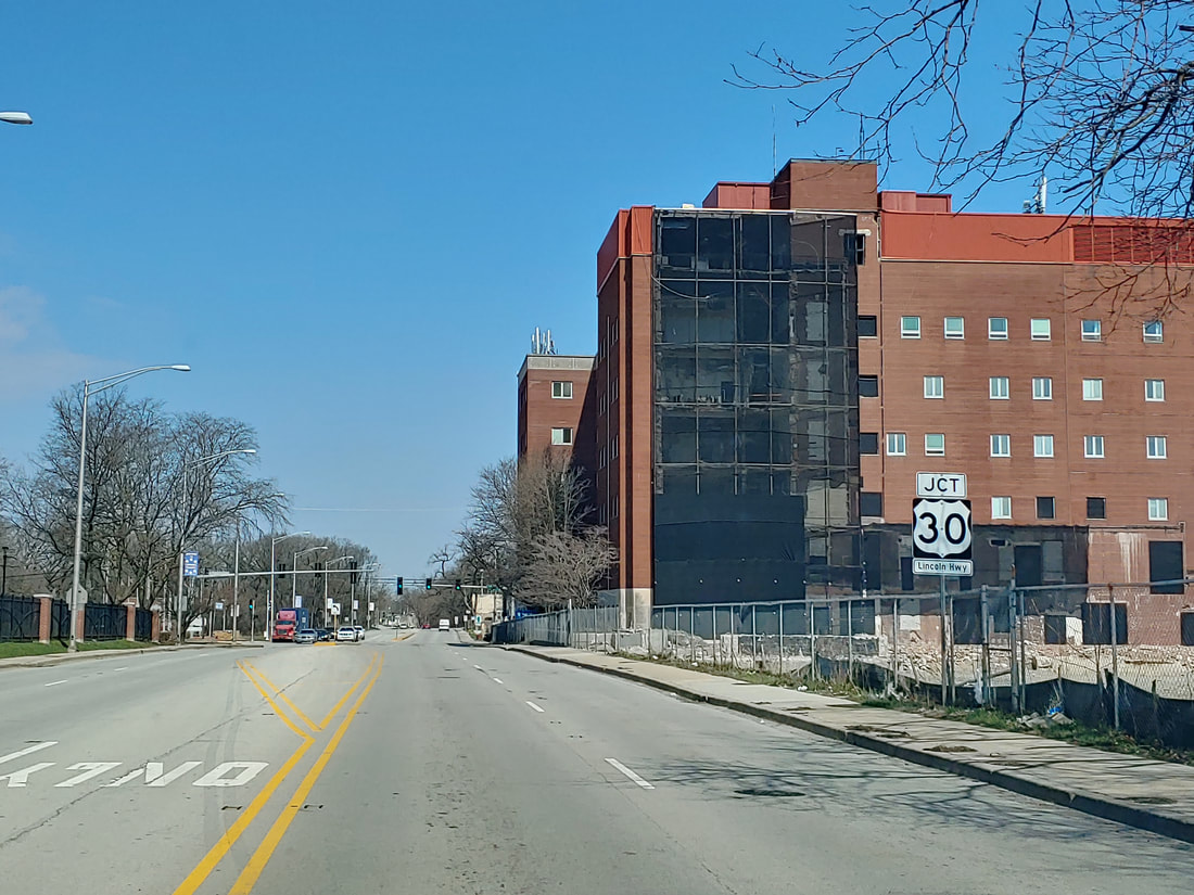
At Chicago Heights, Illinois 1 crosses US Route 30:
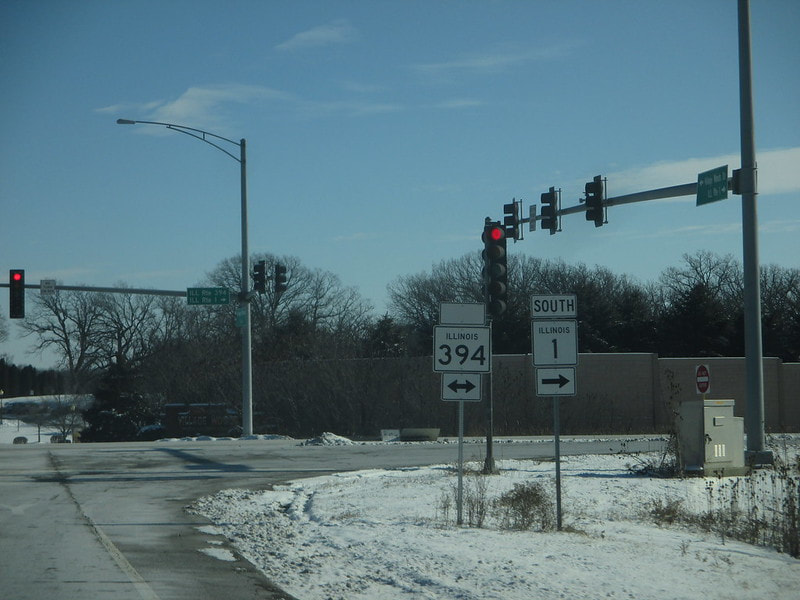
Between Crete and Beecher, Illinois 1 joins Illinois 394 south for a short distance:
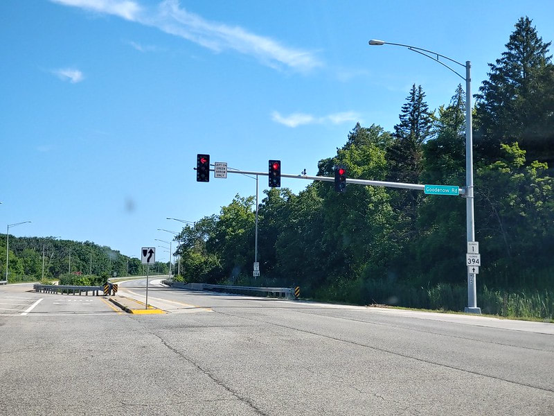
IDOT decided to stop building the four-lane Illinois 394 at Goodenow Road, a seemingly random traffic signal in Will County. As a result, Illinois 394 ends here as Illinois 1 continues south as a simple two-lane highway:
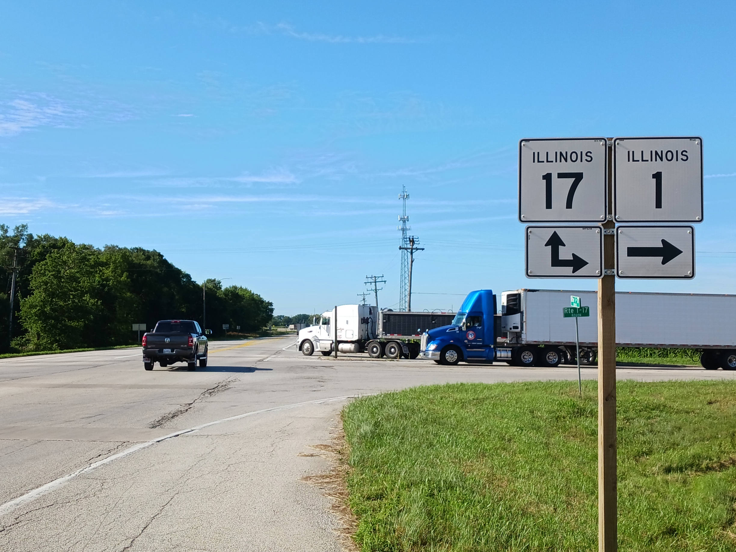
At the town of Grant Park, Illinois, Illinois 17 comes from the east to join Illinois 1 south:
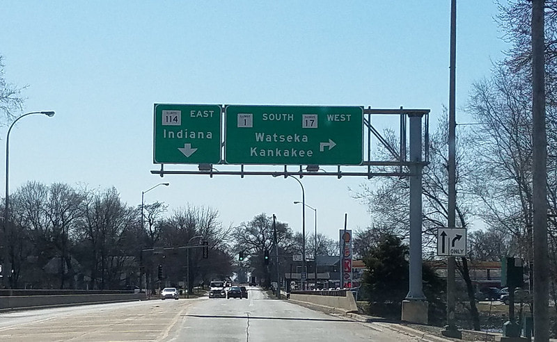
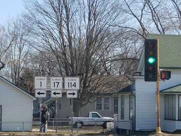
At Momence, Illinois 1 and Illinois 17 continue together past the western end of Illinois 114:
At Sun River Terrace, Illinois 17 turns off of Illinois 1 to continue west toward Kankakee...
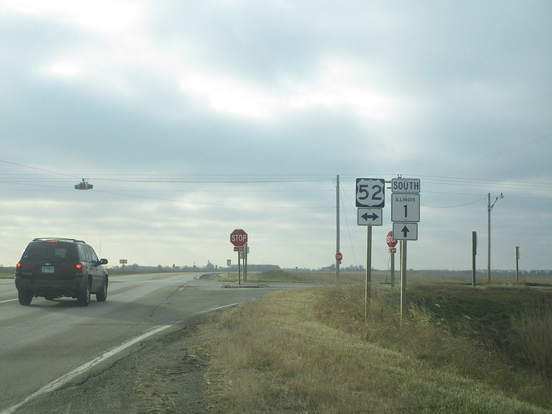
In rural Iroquois County, near Martinton, Illinois 1 crosses US Route 52:
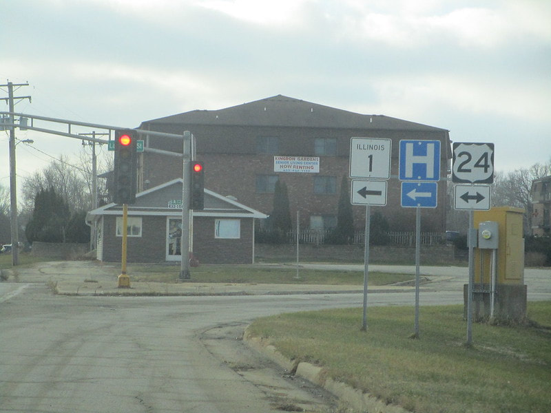
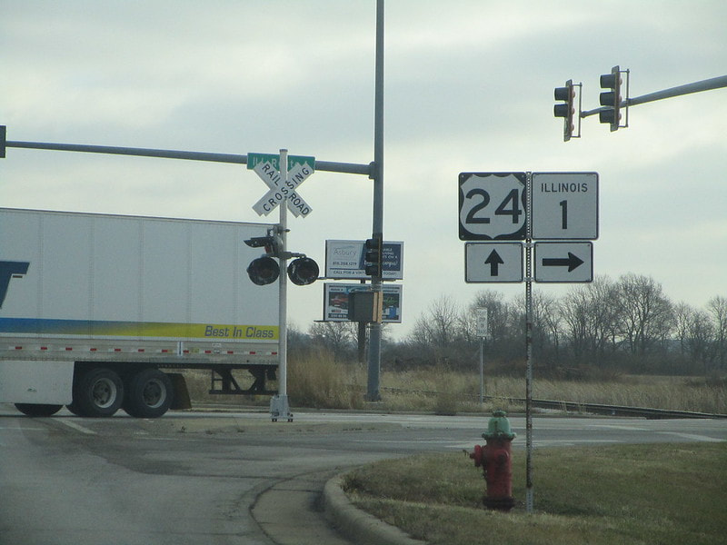
At Watseka, Illinois 1 joins US Route 24 east:
Still in Watseka, Illinois 1 splits from US Route 24 to resume heading southward:
At Hoopeston, Illinois 1 crosses Illinois 9...
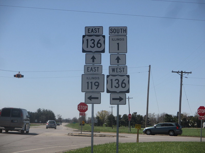
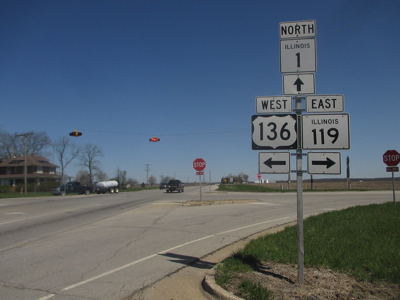
Near the small town of Alvin, Illinois 1 meets a 4-way intersection home to the western end of Illinois 119, as US Route 136 comes from the west to join Illinois 1 south:
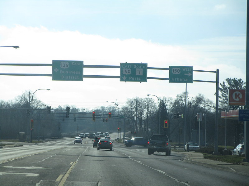
In Danville, Illinois 1 continues south through a 4-way intersection where US Route 136 turns off to the east, but US Route 150 joins from the south, forming a replacement concurrency. US Route 136 and US Route 150 ricochet off of each other at this juncture:
US Route 150 is now following Illinois 1 south, and the concurrency meets an interchange with Interstate 74 as it leaves Danville...
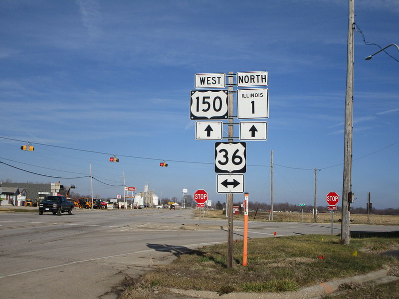
At the small town of Chrisman, Illinois 1 and US Route 150 continue south through a junction with US Route 36:
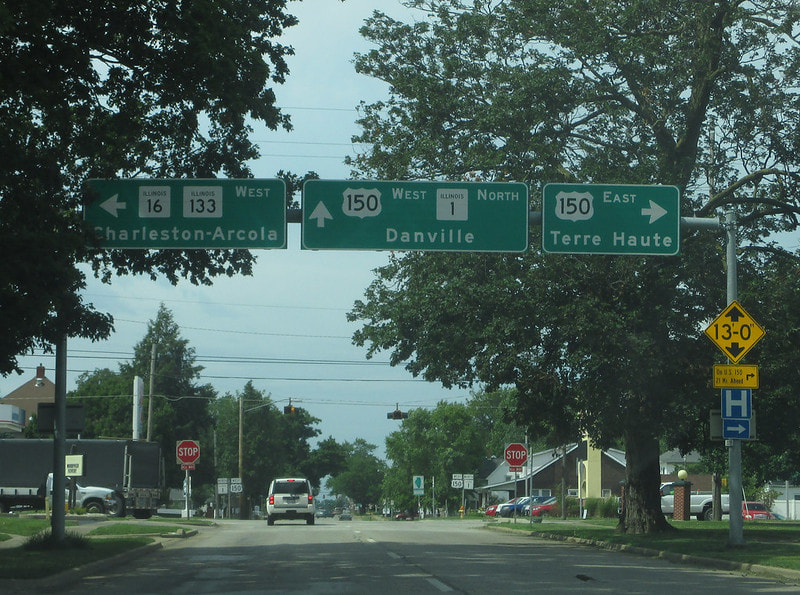
In Paris, Illinois 1 and US Route 150 become a pair of one-way streets. These one-way streets meet a crossroad that carries Illinois 16 and Illinois 133 to the west, and also carries US Route 150 eastward toward Indiana. This marks the eastern end of both Illinois 16 and Illinois 133, and Illinois 1 continues south without any other route:
At Marshall, Illinois 1 meets an interchange with Interstate 70...
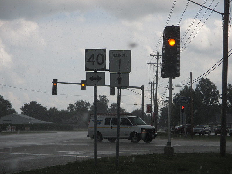
Deeper into Marshall, Illinois 1 crosses US Route 40 (I encountered this junction in the pouring rain):
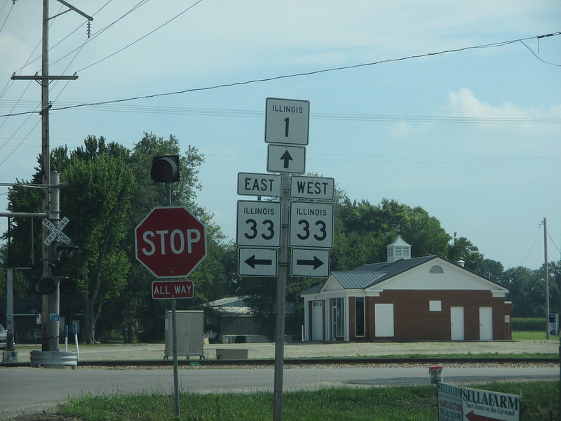
Next to the town of Robinson, Illinois 1 crosses Illinois 33:
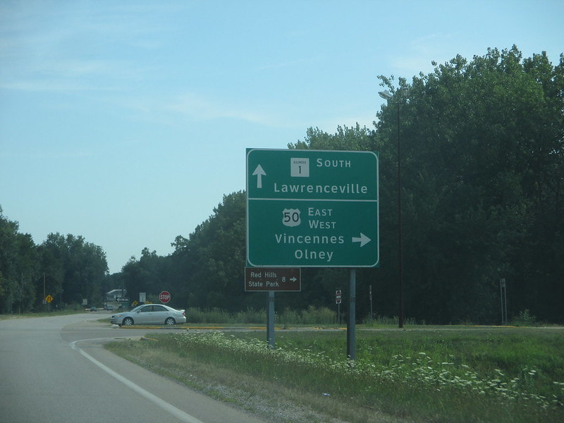
As Illinois 1 enters Lawrenceville, it meets an interchange with the expressway of US Route 50:
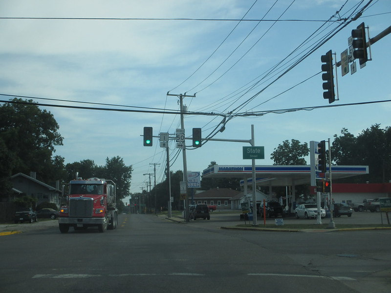
In the heart of Lawrenceville, Illinois 1 meets the business alignment of US Route 50, just east of the eastern end of Illinois 250:
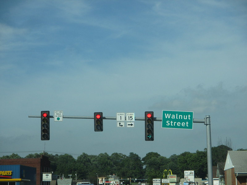
Illinois 1 joins Illinois 15 southeasterly in Mount Carmel:
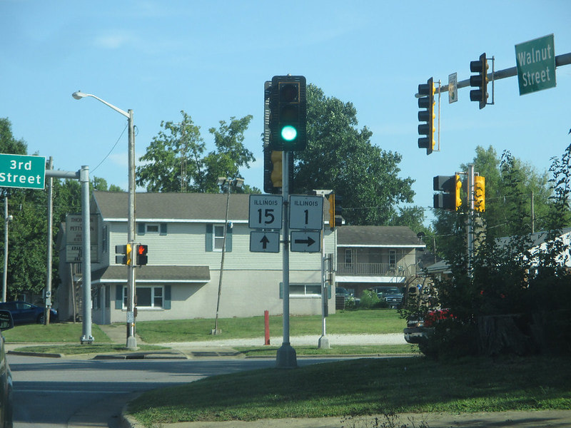
After six blocks of running concurrently with Illinois 15, Illinois 1 splits to continue south:
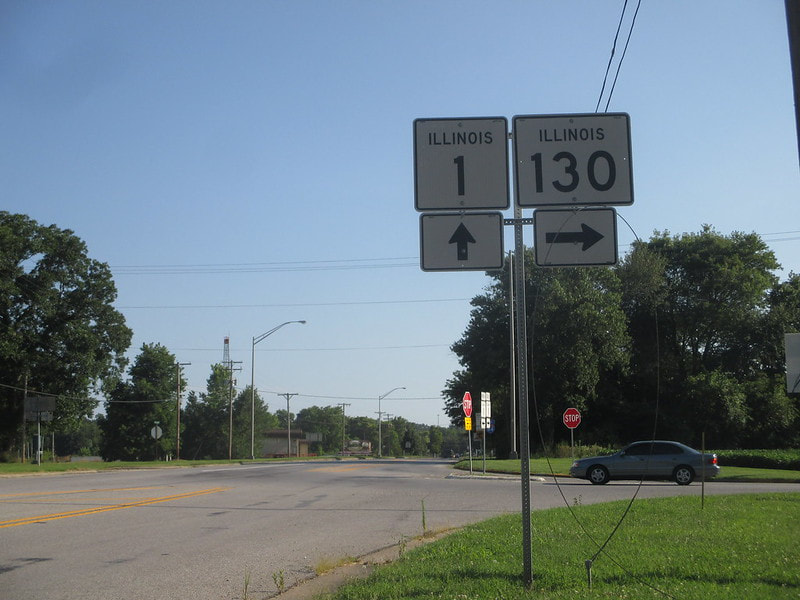
Near Grayville, Illinois 1 meets the southern end of Illinois 130:
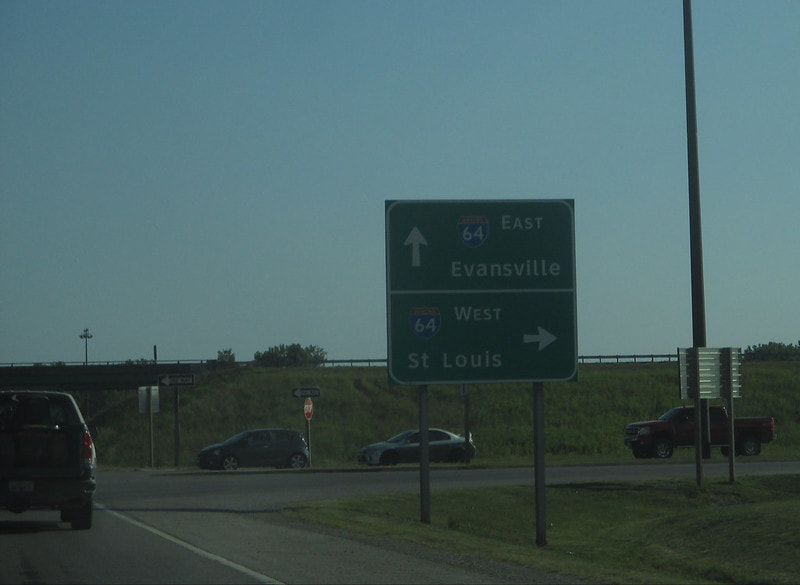
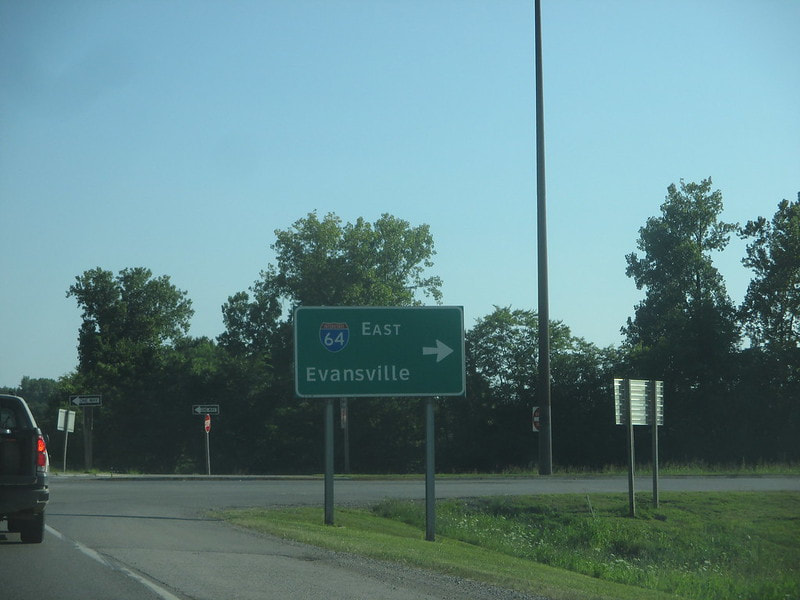
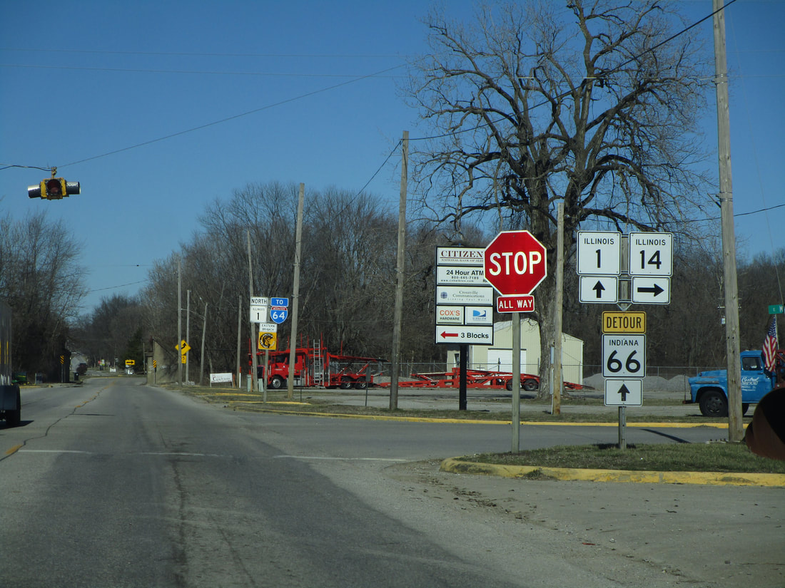
Soon after that, Illinois 1 meets the easternmost interchange of Interstate 64 in Illinois:
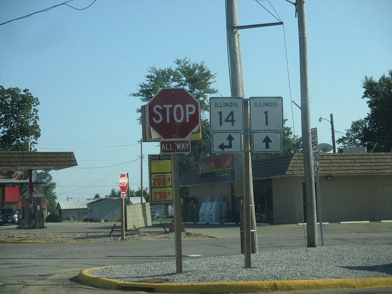
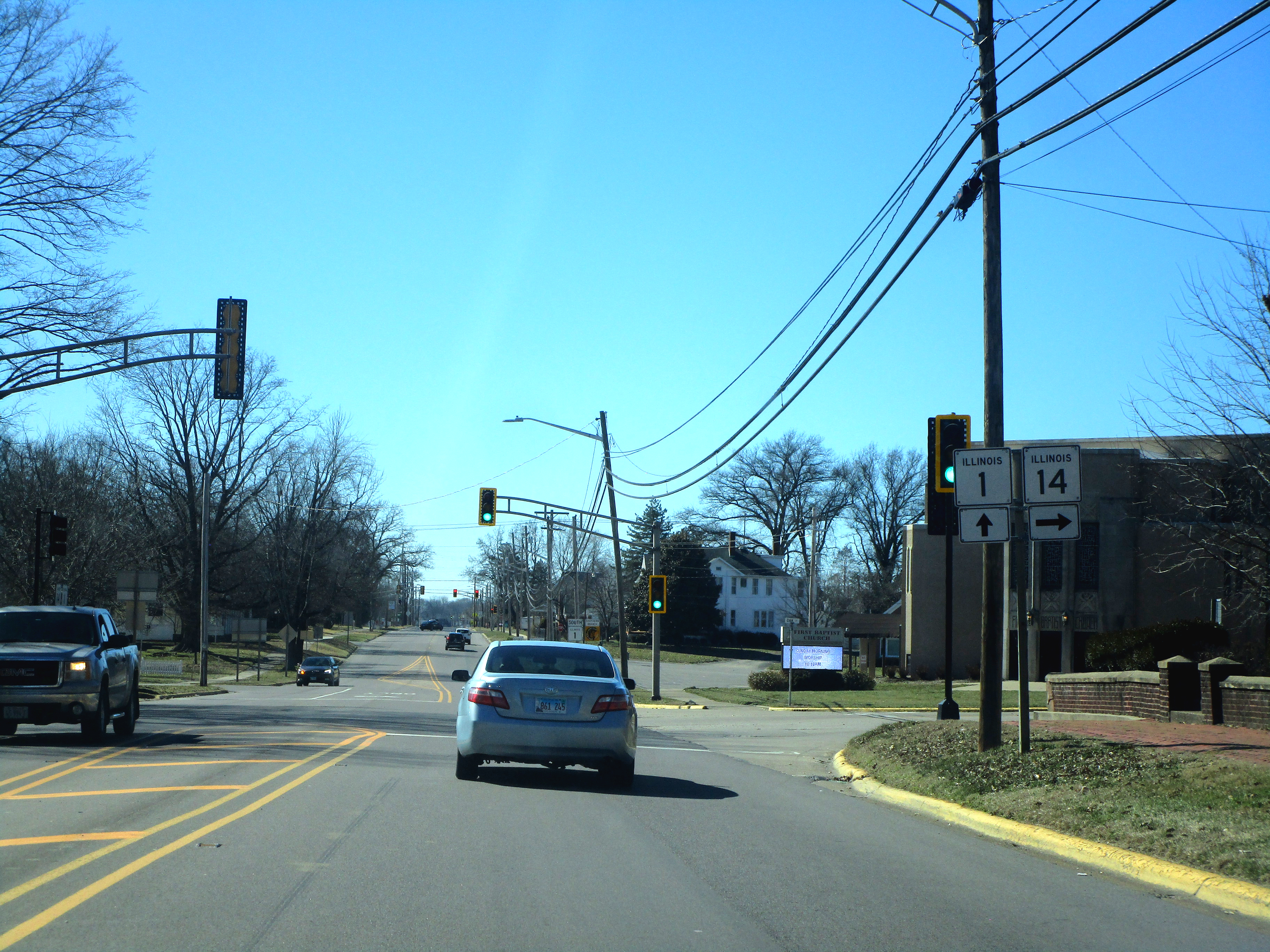
At Crossville, Illinois 14 comes from the east to join Illinois 1 south into Carmi:
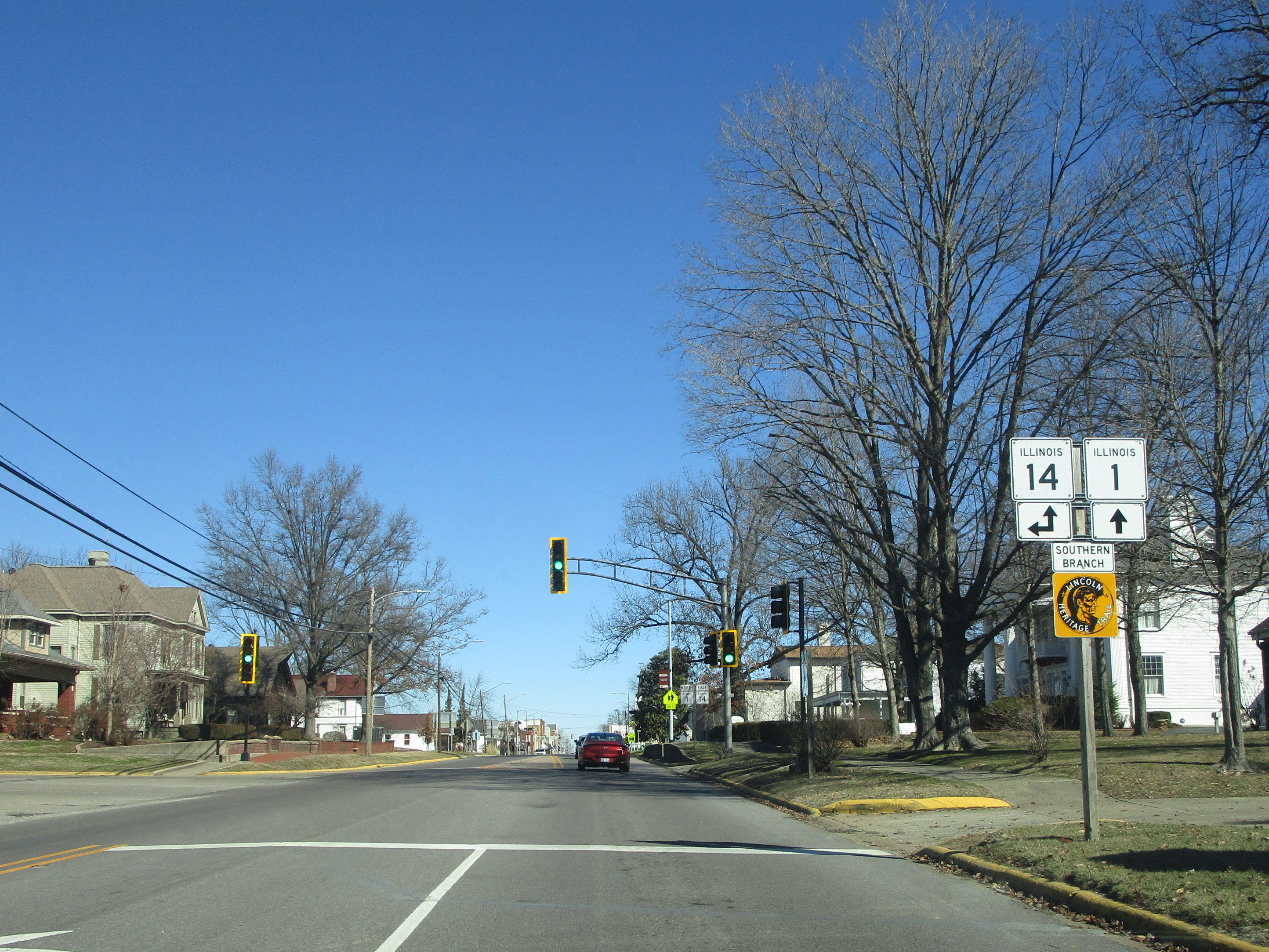
In Carmi, Illinois 14 splits from Illinois 1 to really start making its way westward across southern Illinois:
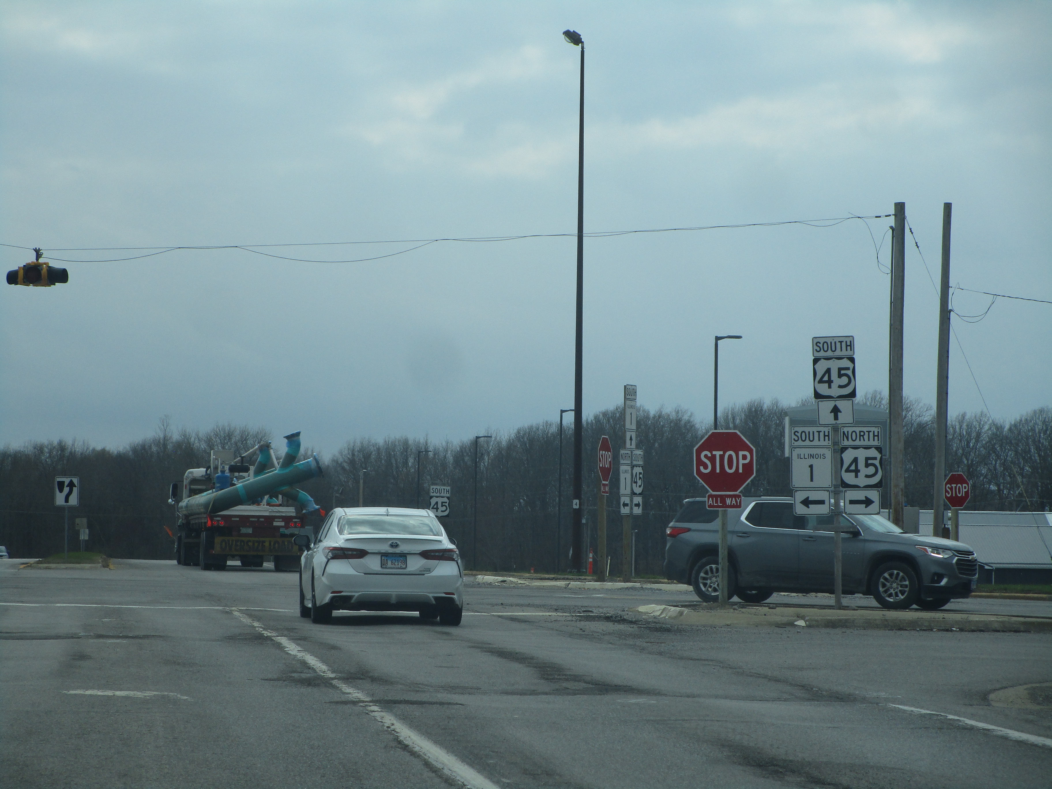
At Norris City, Illinois 1 and US Route 45 bounce off of each other, at what I call a "ricochet junction"; both routes make a turn to keep Illinois 1 as the easternmost route:
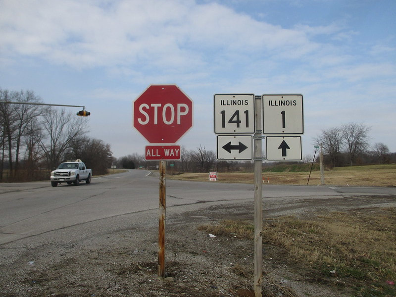
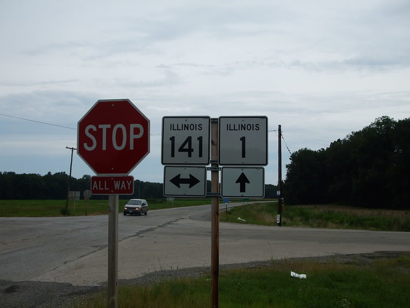
Near the town of Omaha, Illinois, Illinois 1 crosses Illinois 141:
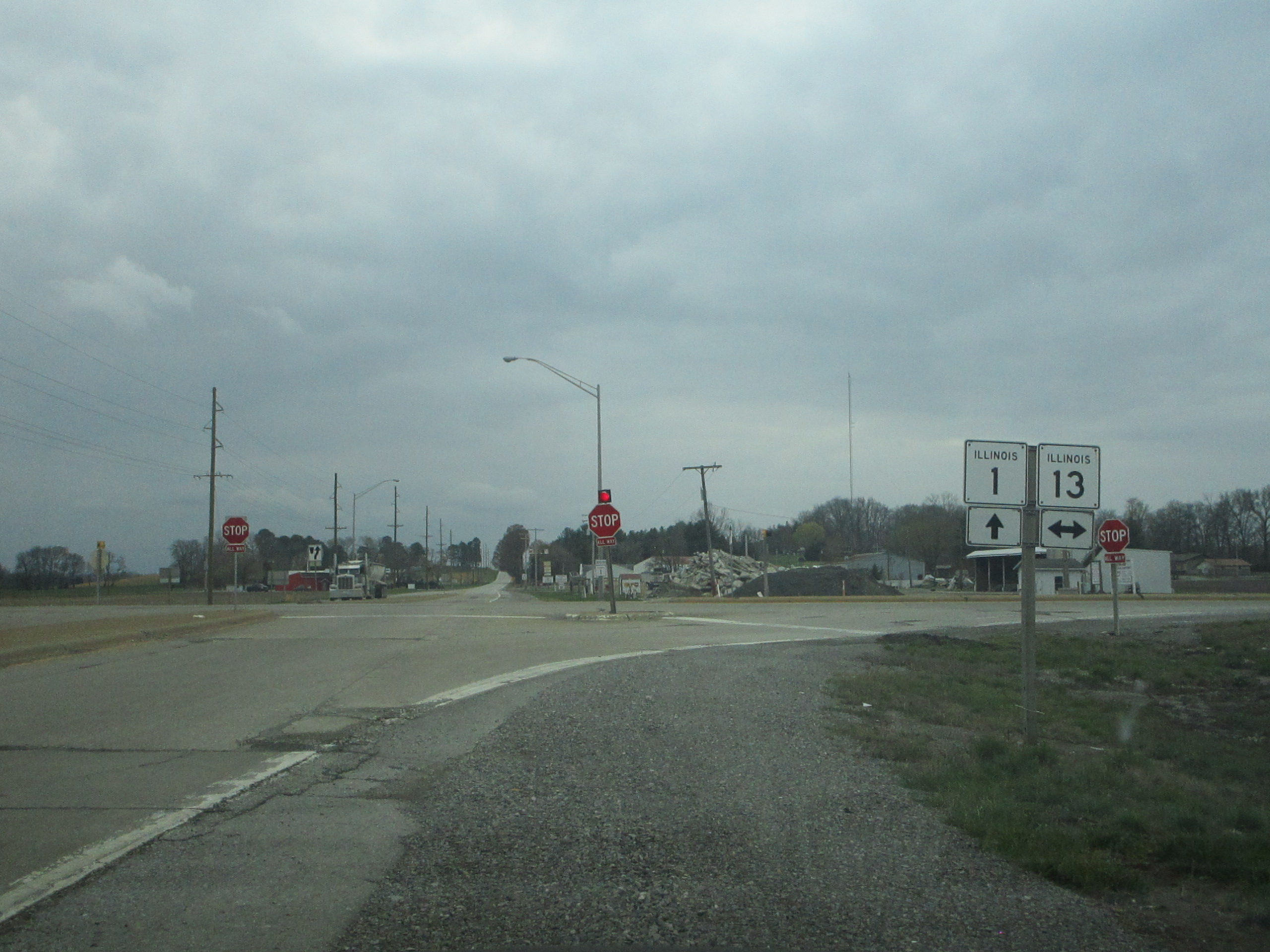
Illinois 1 crosses Illinois 13 between Equality and Shawneetown:
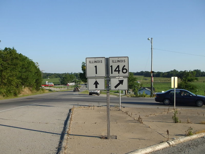
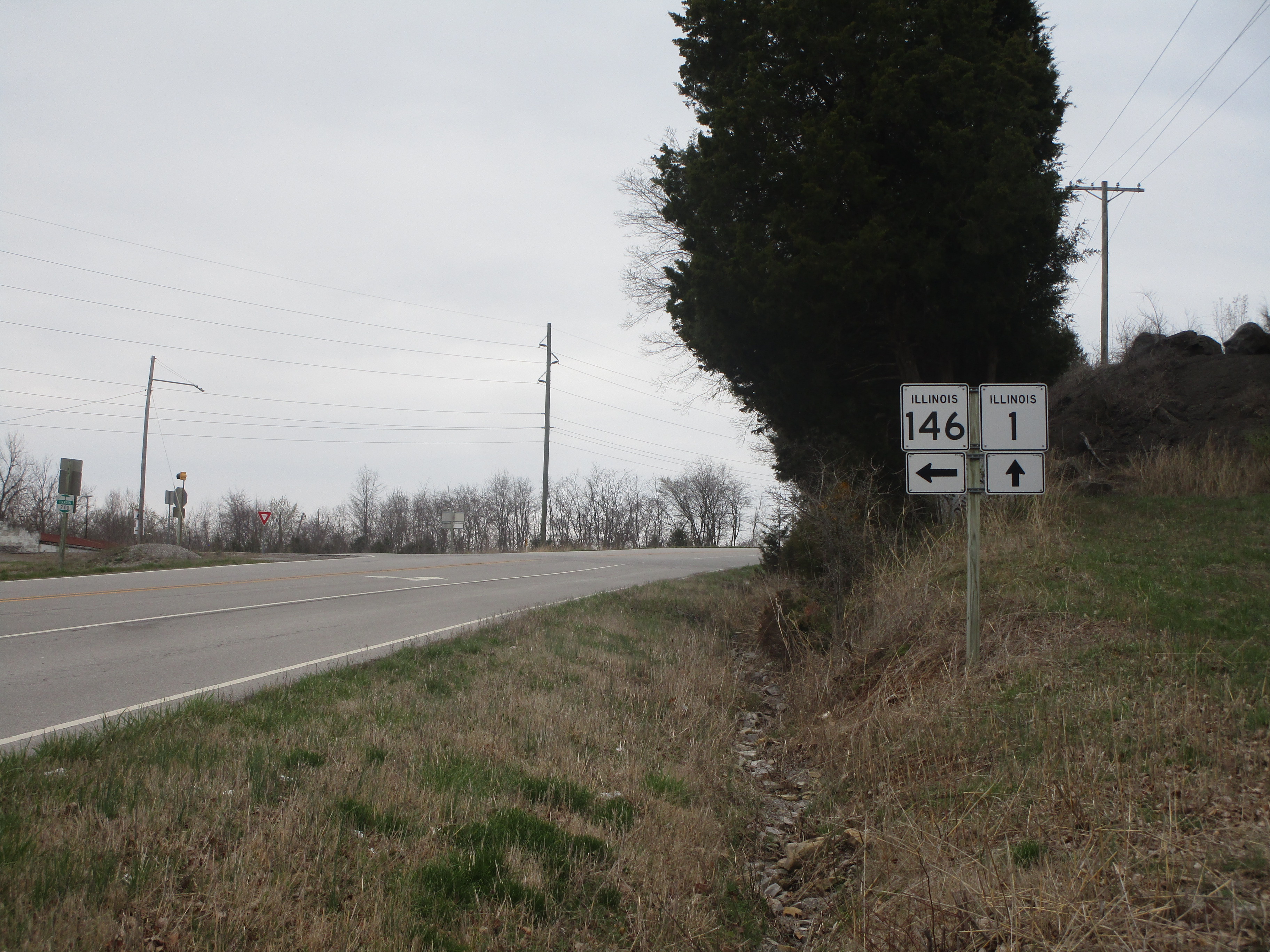
As Illinois 1 approaches Cave-in-Rock, it meets the eastern end of Illinois 146:
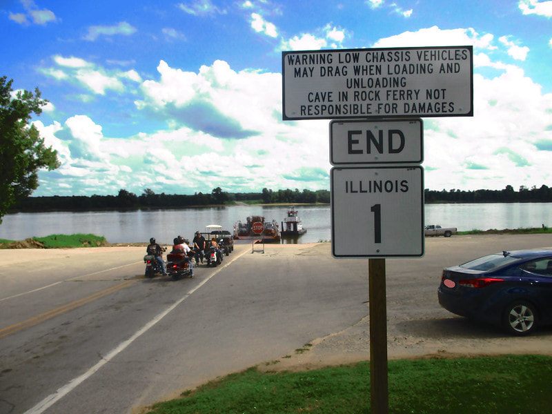
The southern end of Illinois 1 is in Cave-in-Rock, at a ferry carrying vehicles across the river to Kentucky Route 91:
