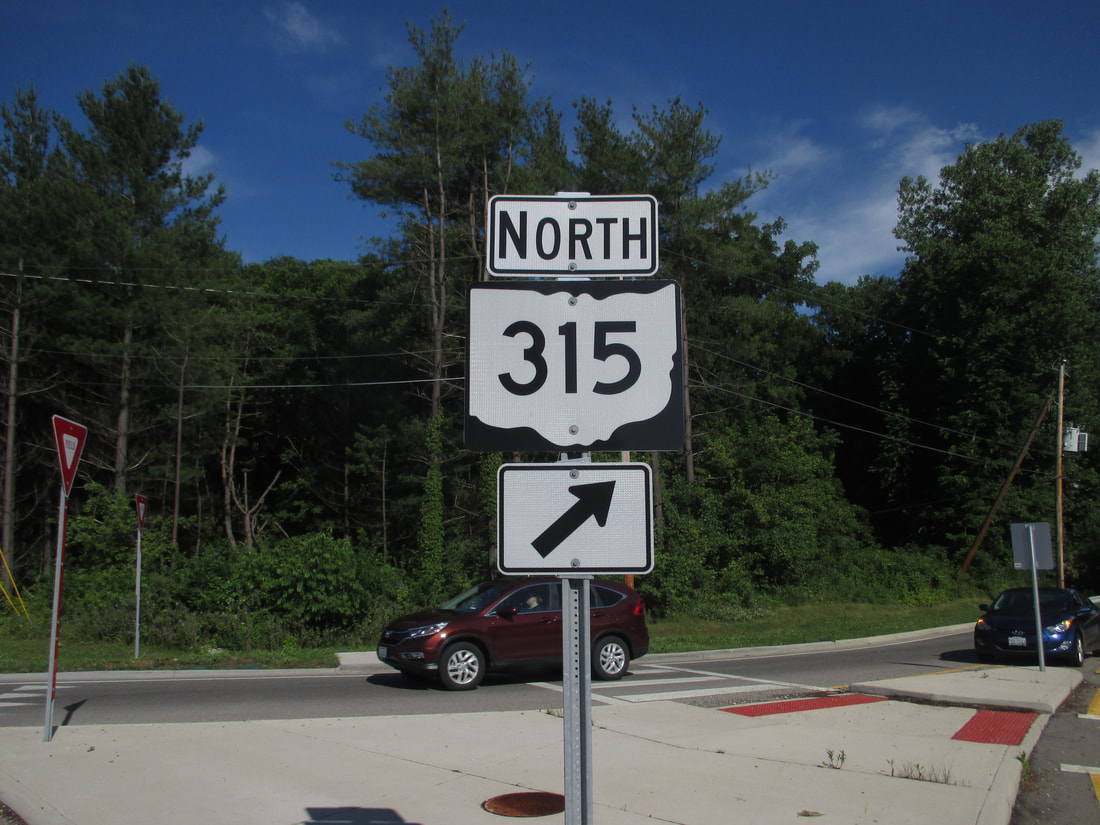
Ohio State Route 315 is a north-south from the south side of Delaware, Ohio, to Interstate 70 and 71 in the middle of Columbus. The southern half of Ohio Route 315 comprises the Olentangy River Freeway, and the northern half is a surface route linking with Delaware. The southern end of Ohio Route 315 is a freeway interchange in the southwest corner of downtown Columbus, where Interstate 71 comes from the south to join Interstate 70 east. The 4-way interchange's northern leg is the beginning of Ohio Route 315. The route runs north on the Olentangy River Freeway past Interstate 670 to serve areas on the west side of the Olentangy River. The freeway parallels Interstate 71, which lies just to the east to serve areas on the other side of the river. Ohio Route 315 runs past the Ohio State University campus before it reaches far northwestern neighborhoods of Columbus, intersecting Interstate 270's northern bypass around Columbus. Ohio Route 315 continues beyond Interstate 270 as a surface road, serving Columbus's northern suburbs such as the Powell area. Eventually, Ohio Route 315 converges with US Route 23 just before it can reach the city of Delaware. Most reaching Ohio Route 315's northern end will continue north on US Route 23 into Delaware.
My photo of Ohio Route 315 signage comes from a roundabout that was placed where the state highway meets Orange Road. This roundabout is on the northeast side of Powell, along the northern half of Ohio Route 315. The guide marker shown faces west, indicating the right-hand exit from the roundabout onto Ohio Route 315 southbound. This photo was taken in June 2016, as I was setting out toward home from Columbus.
Back to Ohio Routes 300-499.
Back to the Ohio main page.
Back to the home page.
Back to Ohio Routes 300-499.
Back to the Ohio main page.
Back to the home page.

