Interstate 480 is the freeway forming an inner loop for the purpose of reaching downtown Omaha, Nebraska. It occupies about two-thirds of a mile of freeway in Iowa between the Missouri River and Interstate 29. The roadway continues east into downtown Council Bluffs as Broadway. One intermediate interchange leads to and from 41st Street in one of Council Bluffs's riverside neighborhoods. There's much more to talk about regarding Interstate 480 in Nebraska; but as for its time in Iowa, it just crosses the Missouri River, passes through the interchange with 41st Street, and ends at Interstate 29. This stint in Iowa is all within Council Bluffs, and it's all duplexed with US Route 6.
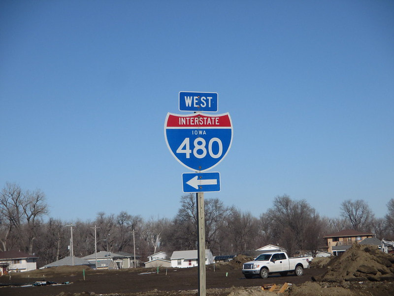
The short exit list for Interstate 480 is below, but first, I will show you the sign that gave me my shield image as seen on the Iowa menu page. My shield image for Interstate 480 comes from the interchange at 41st Street in Council Bluffs. This sign faces south at the junction with 41st Street and the westbound ramps to and from the Interstate. I couldn't find a cutout Interstate shield that's 24 inches high in the state of Iowa, so this oversized 36-inch one will have to do. This photo was taken in February 2016 during a trip to Omaha.
The short exit list for Interstate 480 is below, but first, I will show you the sign that gave me my shield image as seen on the Iowa menu page. My shield image for Interstate 480 comes from the interchange at 41st Street in Council Bluffs. This sign faces south at the junction with 41st Street and the westbound ramps to and from the Interstate. I couldn't find a cutout Interstate shield that's 24 inches high in the state of Iowa, so this oversized 36-inch one will have to do. This photo was taken in February 2016 during a trip to Omaha.
With that out of the way, here are the exit points along Interstate 480 during its fraction of a mile in Iowa:
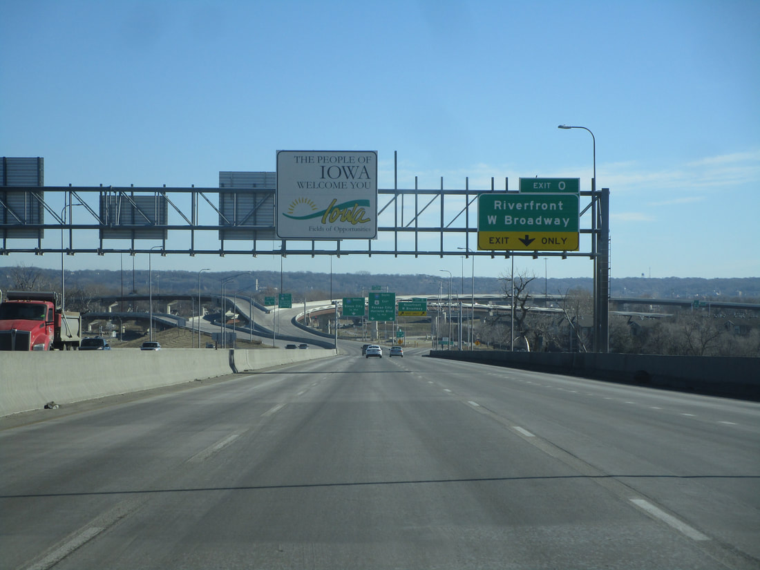
Interstate 480 enters Iowa by crossing the Missouri River out of downtown Omaha, Nebraska:
Interstate 480 enters Iowa by crossing the Missouri River out of downtown Omaha, Nebraska:
Exit 0 is a ramp to the surface roads along the riverfront in Council Bluffs, specifically West Broadway:
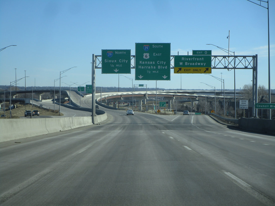
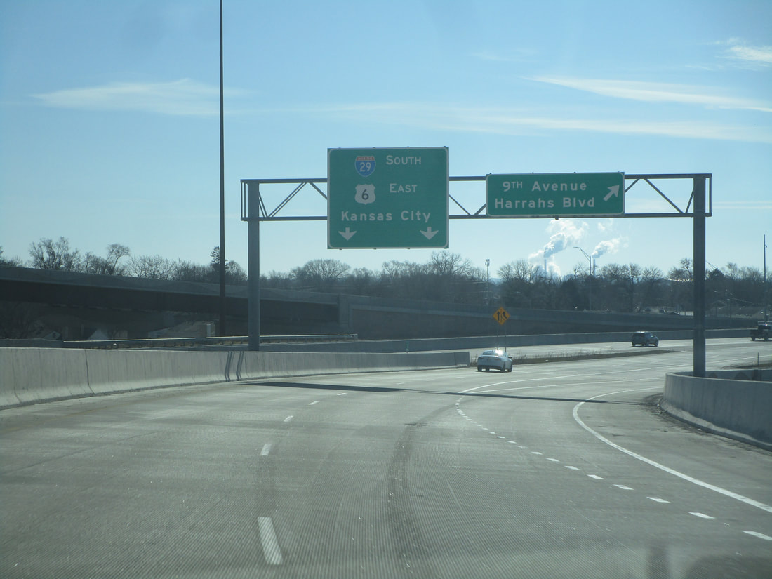
Interstate 480 soon forks into a pair of onramps to Interstate 29. The left lane brings travelers to the northbound side of Interstate 29. The right two lanes provide access to Interstate 29 south, US Route 6 east, and another onramp that splits off to 9th Avenue and Harrahs Boulevard:
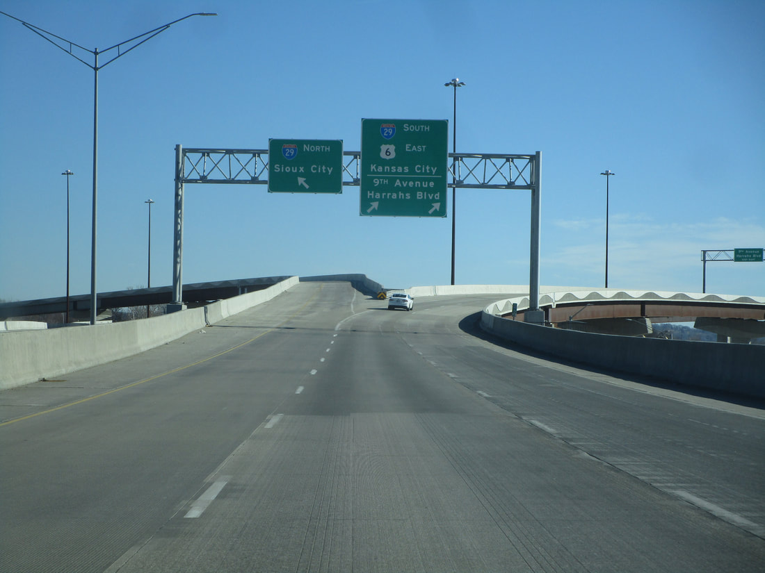
Here is the split to 9th Avenue and Harrahs Boulevard, from the southbound onramp:
