Michigan Highway 95 is a north-south highway across the Upper Peninsula, positioned a little bit west of the Peninsula's exact middle. The route is useful for connecting the Iron Mountain area to points north of it. A bridge over the Menominee River, splitting Wisconsin away from Michigan's Upper Peninsula, marks the southern end of Michigan Highway 95. More specifically, this southern terminus is at the border of Kingsford, Michigan, and Aurora, Wisconsin. Michigan Highway 95 heads north from there, winding through Kingsford and Iron Mountain, where it has a short concurrency with US Routes 2 and 141. The three routes exit Iron Mountain toward the north on the same road, and Michigan Highway 95 splits away to head into the wilderness. Michigan Highway 95 stays highly rural for the remainder of its routes, only brushing past the few tiny towns of Sagola, Channing, and Republic. The northern end of Michigan Highway 95 occurs at a rural junction west of Ishpeming, along the concurrency of US Route 41 and Michigan Highway 28.
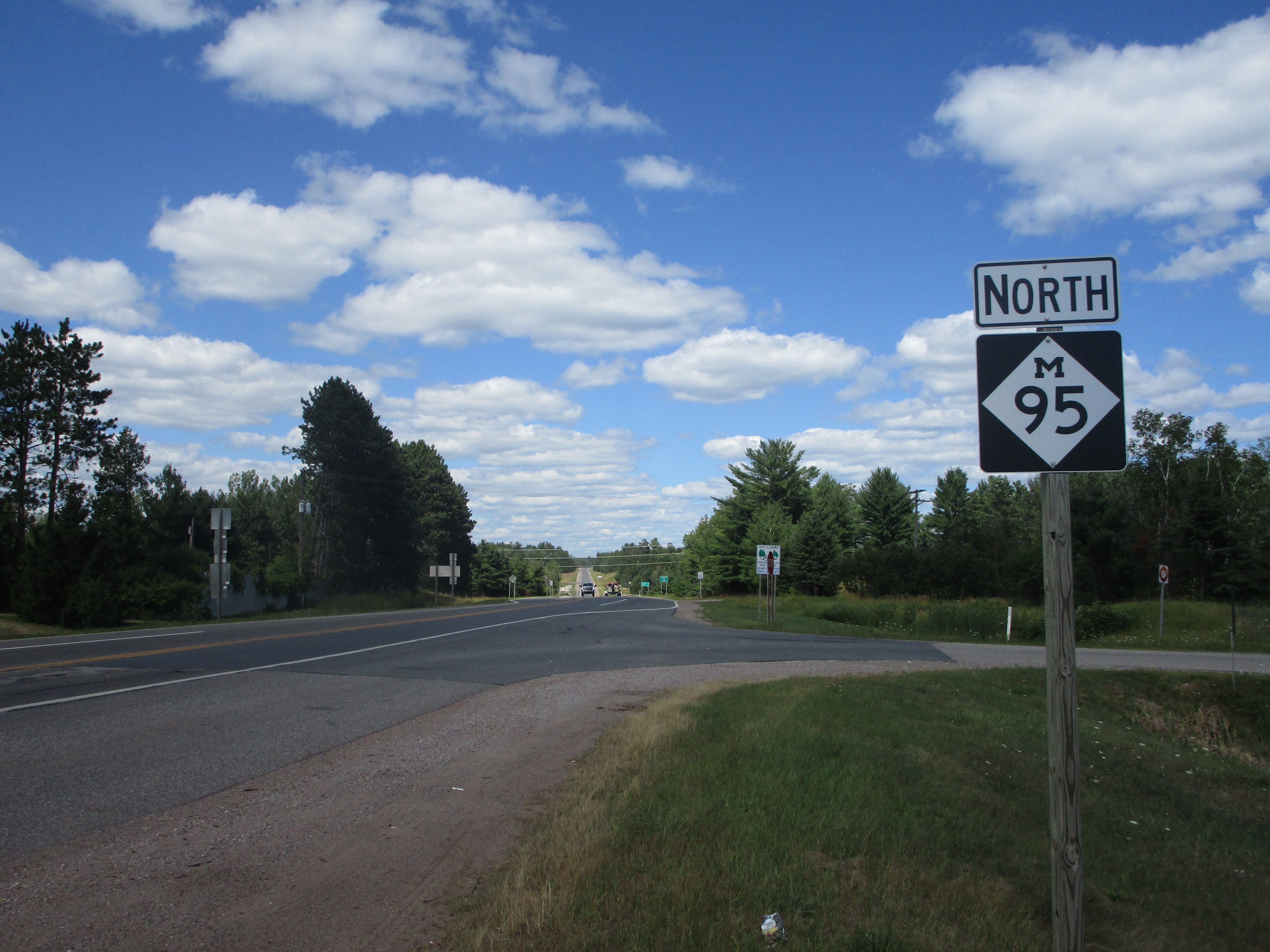
My photo for Michigan Highway 95 comes from the point where it establishes its independence from US Routes 2 and 41, on the north side of Iron Mountain. I have to admit that I thought this intersection was the southern end of Michigan Highway 95, but it continues south along the two US highways into Iron Mountain, then west a short distance to meet the Wisconsin state line. This northbound reassurance marker for vehicles turning away from US Routes 2 and 41 was photographed at the very end of July, 2022, on a trip to various locales in northern Michigan.
Back to the Michigan main page.
Back to the home page.
Back to the Michigan main page.
Back to the home page.

