Interstate 94, in Michigan, runs east-west across southern parts of the Lower Peninsula, serving Kalamazoo, Battle Creek, Marshall, Jackson, Ann Arbor, Detroit, and Port Huron. has the main distinction of connecting the Chicago area and points southwest to Detroit, continuing northeast beyond Detroit to Port Huron. In the southwest corner of Michigan, Interstate 94 enters Michigan by crossing the Indiana state line between Michigan City, Indiana, and New Buffalo. Interstate 94 stays near the southeastern shore of Lake Michigan for its first segment, running northeasterly to Benton Harbor and St. Joseph. In the Benton Harbor area, Interstate 94 turns easterly to head inland, but spawns Interstate 196 for those who wish to continue north alongside Lake Michigan. Interstate 94 runs pretty straight toward the east, passing Kalamazoo, Battle Creek, Marshall, and Jackson. At Ann Arbor, the freeway splits into two freeways into Detroit, and Interstate 94 takes the more southerly route; Michigan Highway 14 is the northerly freeway continuing eastward. In Metro Detroit, Interstate 94 is made to turn northeasterly. It flanks downtown and aligns itself toward Lake St. Clair and the St. Clair River (which is to say, the Canadian border). In Port Huron, Interstate 69 merges with Interstate 94, and the two concurrent freeways continue for a few miles to their mutual endpoint. They end at the Blue Water Bridge, crossing the St. Clair River into Sarnia, Ontario.
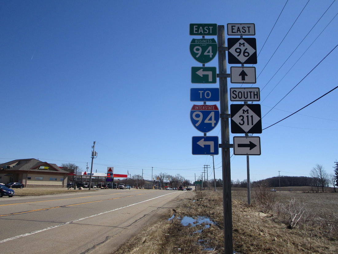
My photo of a cutout shield for Interstate 94 comes from the intersection of Michigan Highways 96 and 311, east of Battle Creek. The guide assembly faces west, giving eastbound travelers on Michigan Highway 96 the chance to find where to turn onto Michigan Highway 311. Michigan Highway 311 continues to the north, but only for another block to its northern end at Interstate 94. MDOT included mention of this nearby interchange with Interstate 94, found quickly after a left turn to the north. In recent years, the adoption of unisigns for Michigan's Interstate junctions has made cutout shields difficult to find across the state. Usually, I'm relegated to finding these cutout shields on "To" guide markers, distant from the Interstate itself. The cutout shield in this photo is no exception! This guide marker isn't positioned at too great a distance from Interstate 94, of course; the freeway interchange is just a block to the north. This photo was taken in March 2019 on a trip around central and southern Michigan.
Here are the exits from I-94 listed from west to east throughout the state of Michigan:
Here are the exits from I-94 listed from west to east throughout the state of Michigan:
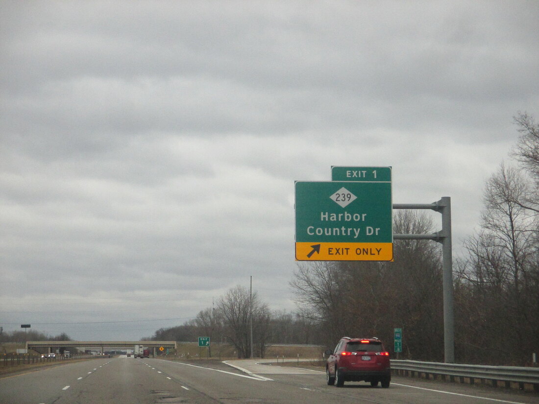
Soon after Interstate 94 crosses northwesterly over the state line out of Indiana, it reaches an interchange with Michigan 239 on the south side of New Buffalo. M-239 is known as Harbor Country Drive, and this exit is Exit 1:
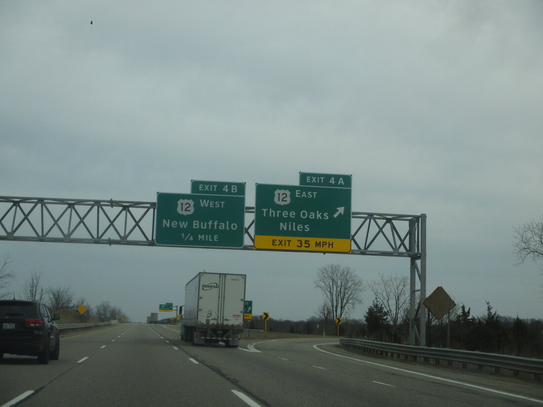
Exit 4A and Exit 4B lead to US Route 12 at a slightly modified cloverleaf interchange outside of New Buffalo. Exit 4A plops your vehicle onto US Route 12 eastbound toward Three Oaks and Niles; Exit 4B, for US Route 12 west, is the one pointing travelers toward New Buffalo proper:
Exit 6 is for Union Pier...
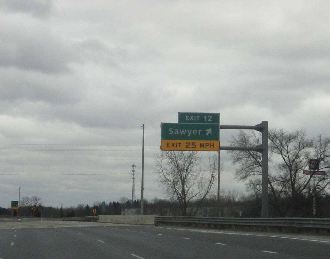
Exit 12 leads to Sawyer. This is a popular exit, because it serves Warren Dunes State Park:
Exit 16 leads to a former alignment of US Route 12, providing access to Bridgman. (This exit is also used to reach Warren Dunes)...
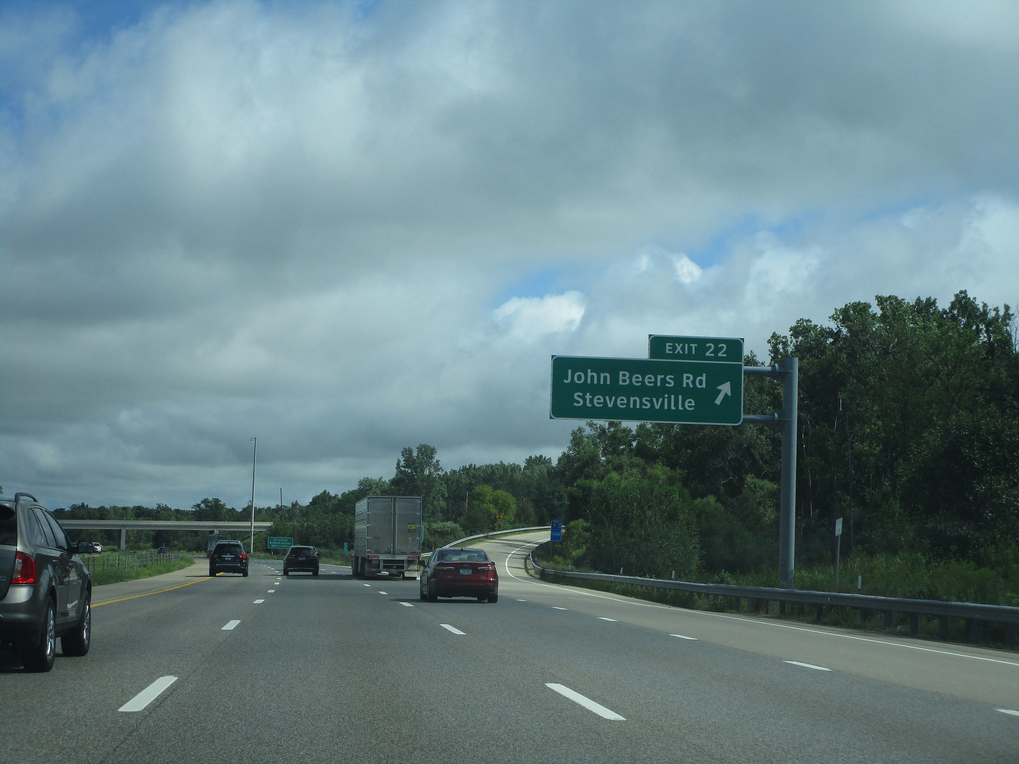
Exit 22 leads to John Beers Road, a roadway connecting to Stevensville:
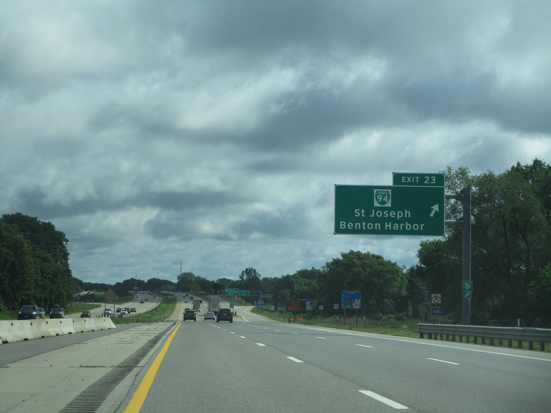
Exit 23 gives rise to the first of many Business Loops of Interstate 94. This first Business Loop serves St. Joseph and Benton Harbor:
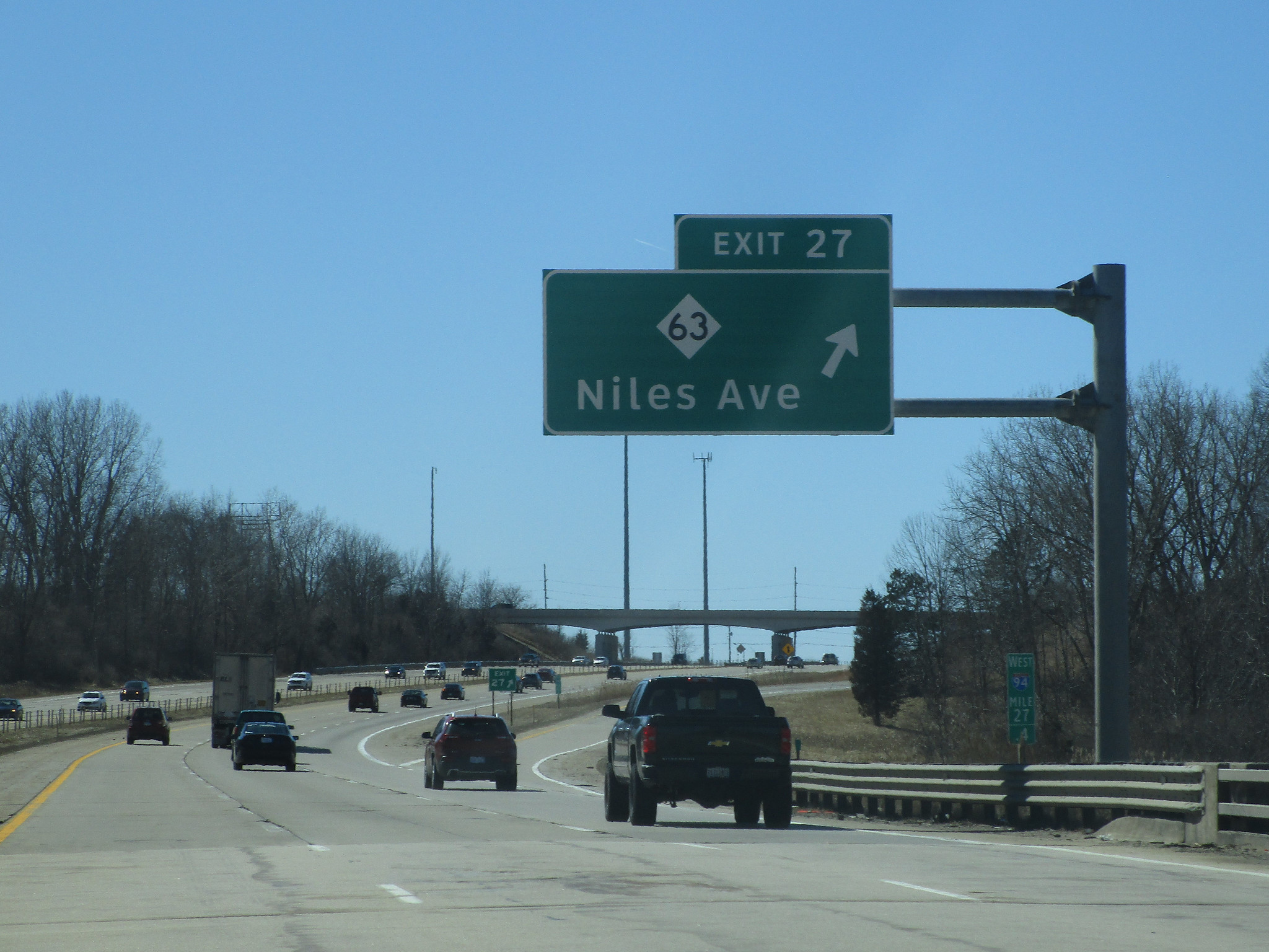
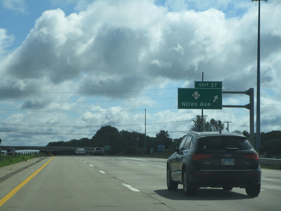
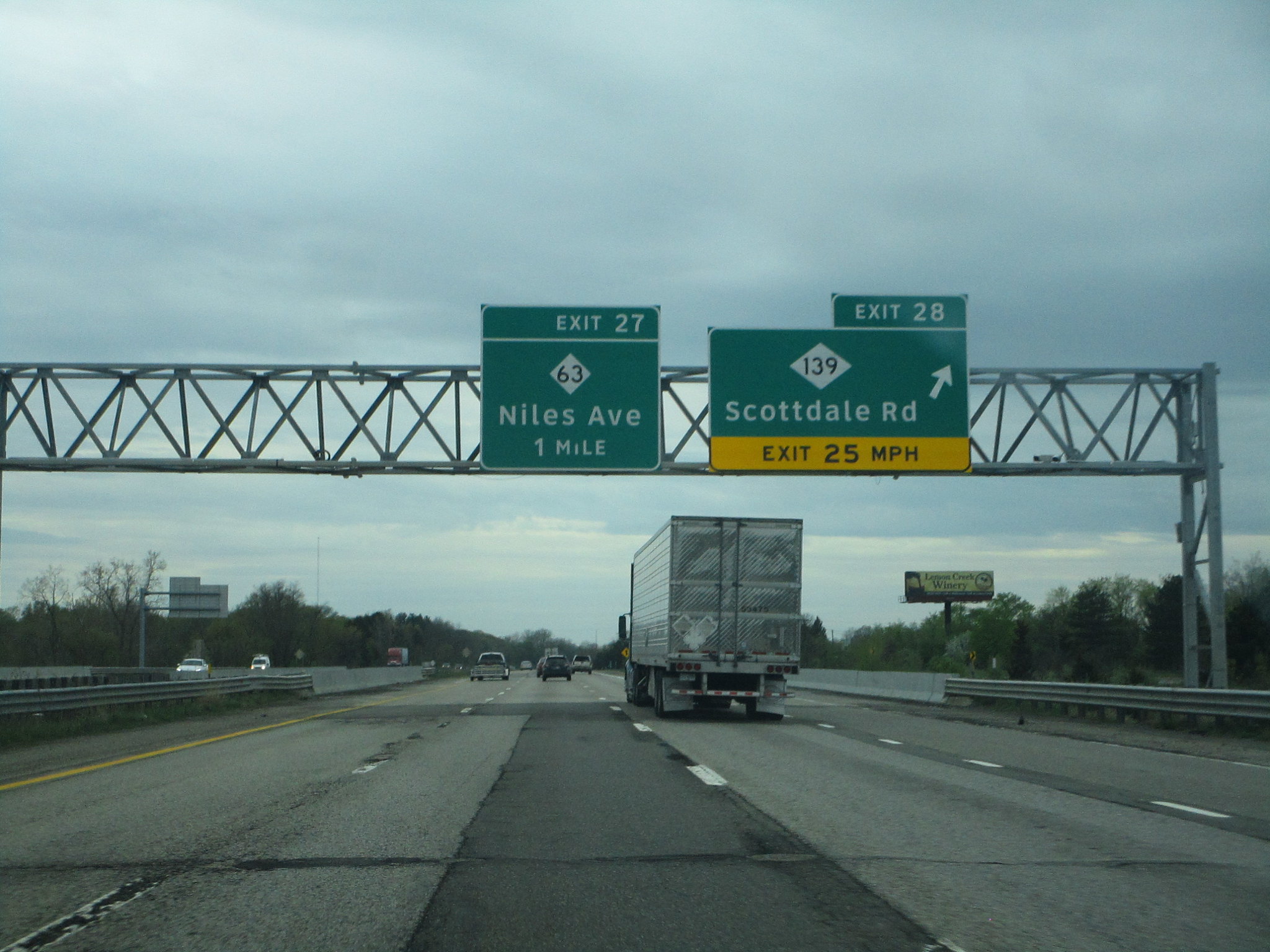
Exit 27 serves Michigan 63, which is locally known as Niles Avenue:
|
|
Exit 28 is for Michigan 139, also known as Scottdale Road. Signage in this area assumes that the driver understands that they are in the St. Joseph-Benton Harbor area by now:
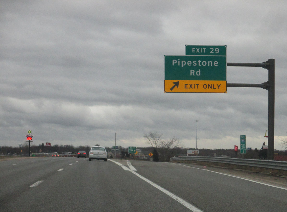
Exit 29 leads to Pipestone Road in the Benton Harbor area:
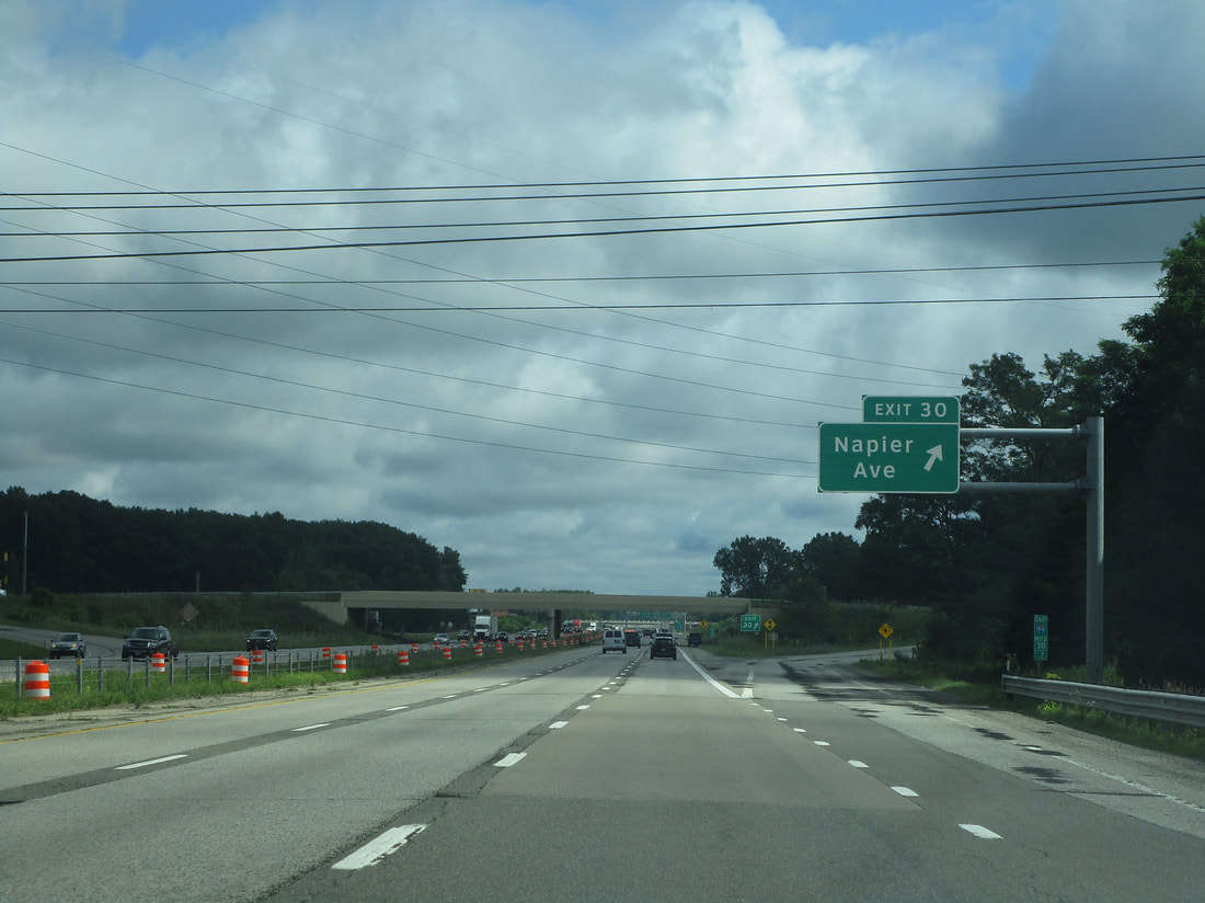
Exit 30 leads to Napier Avenue in the Benton Harbor area. This exit recently led to US Route 31 south, but US Route 31 was recently relocated to a new segment of highway (stay tuned)...
Exit 33A brings travelers to the southbound continuation of US Route 31, toward Niles.
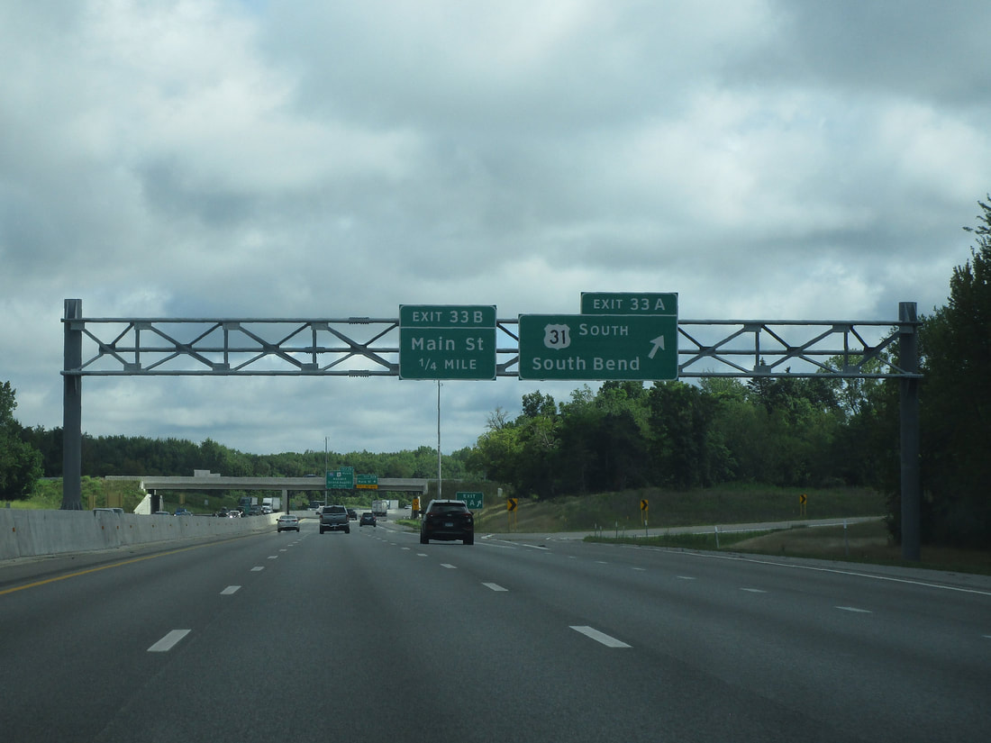
Exit 33B is for Main Street in Benton Harbor:
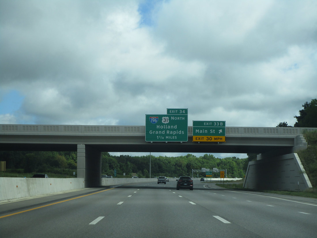
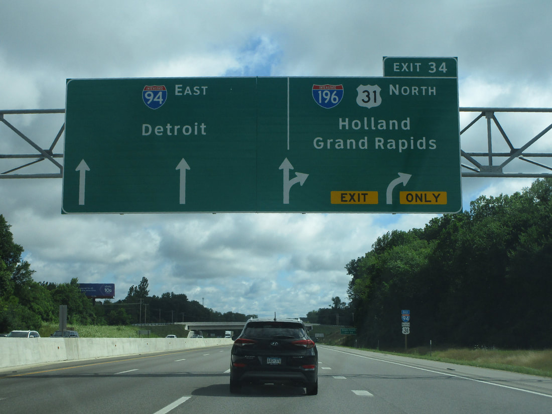
Exit 34 not only carries US Route 31 further north, but it leads to Interstate 196, which carries US Route 31 northward. US Route 31 can be used to reach Holland, and Interstate 196 will bring travelers to downtown Grand Rapids:
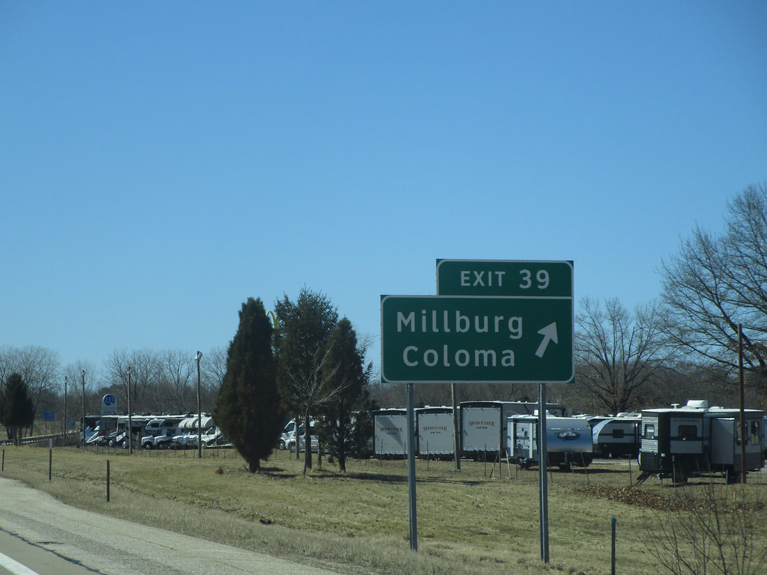
Exit 39 is for accessing Coloma and Millburg via a local road:
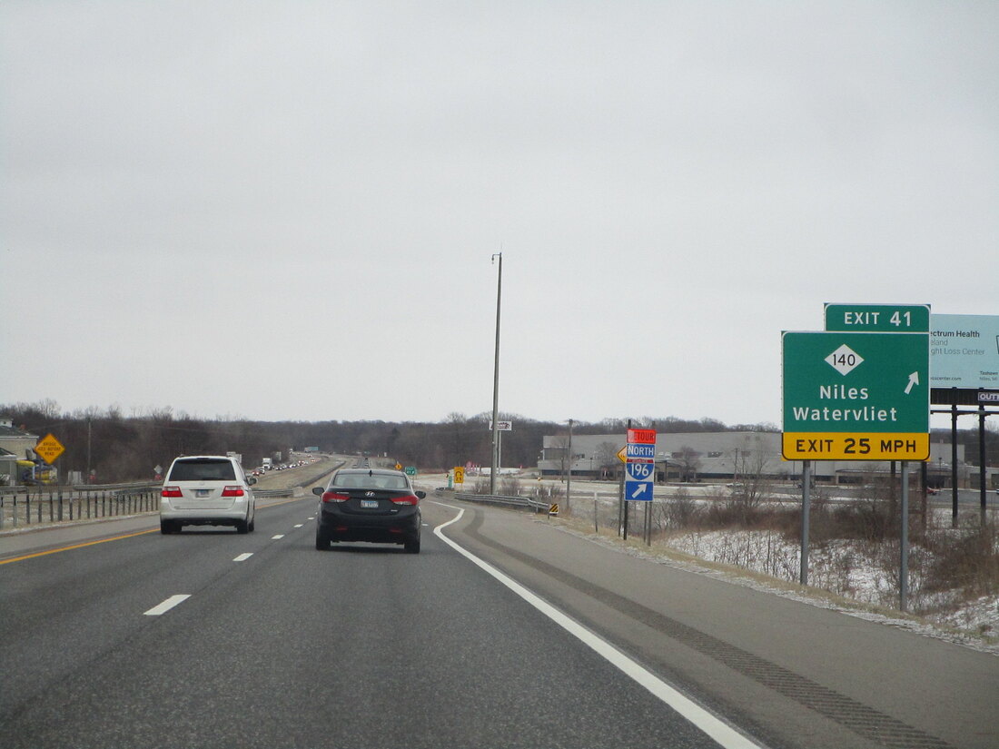
Exit 41 leads to Michigan 140, a route that reaches Watervliet and Niles:
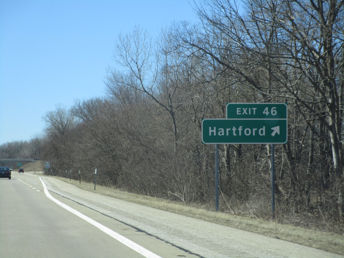
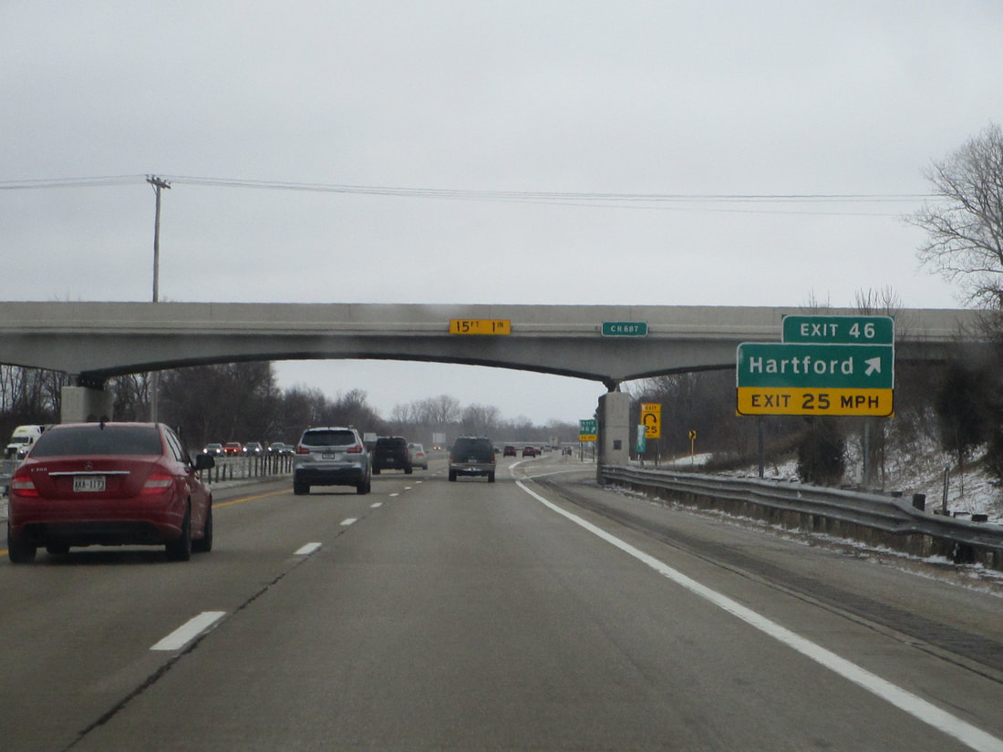
Exit 46 provides access to Hartford:
|
|
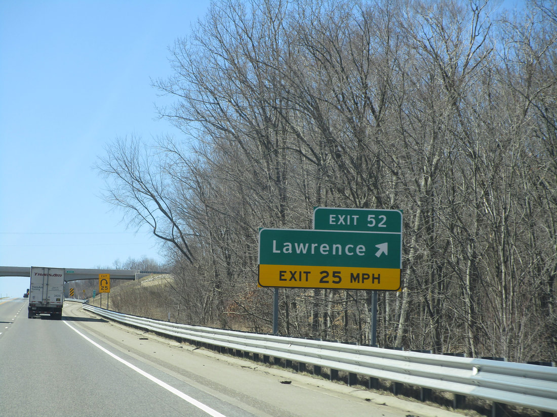
Exit 52 leads to Lawrence, Michigan:
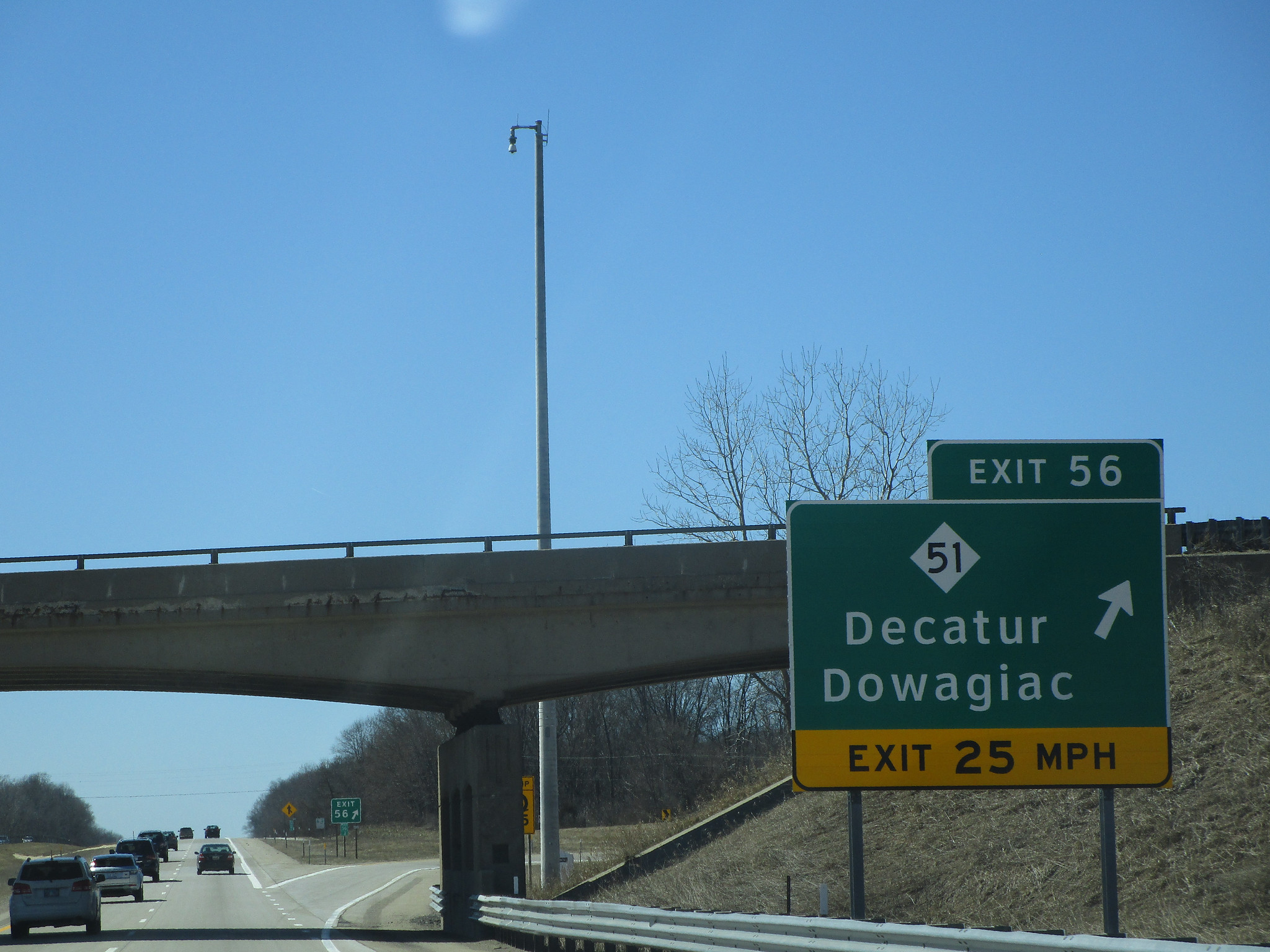
Exit 56 constitutes the northern end of Michigan 51, a highway leading to Decatur and Dowagiac:
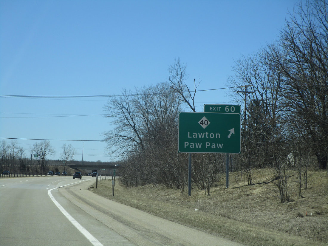
Exit 60 leads to Michigan 40, which is a highway leading to Paw Paw and Lawton:
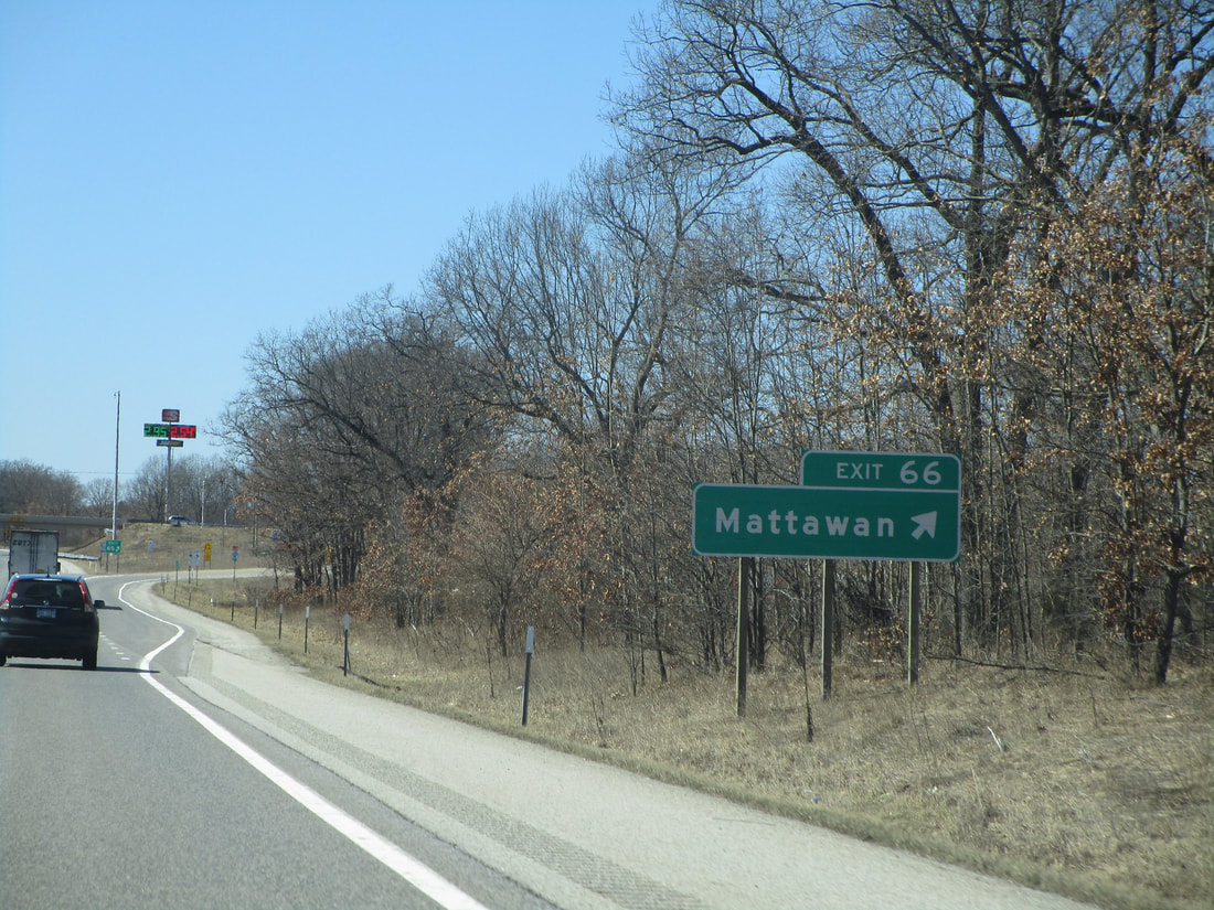
Exit 66 provides access to the town of Mattawan:
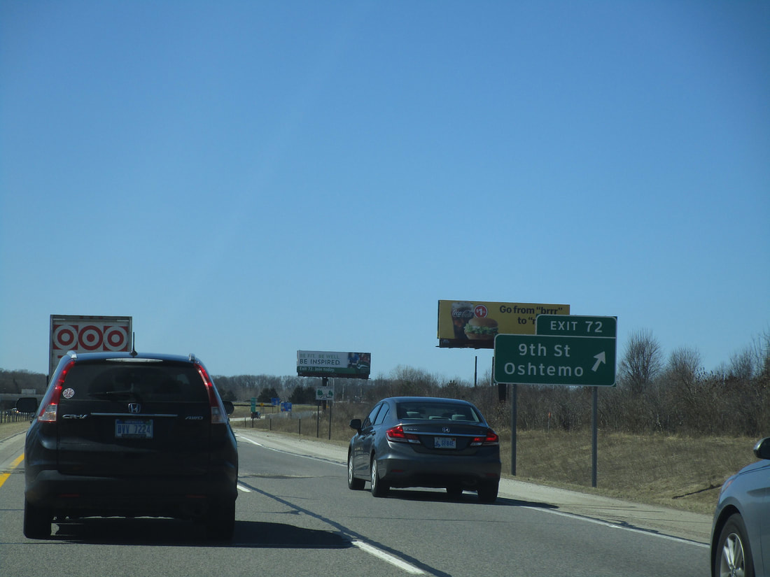
Exit 72 leads to a local road named 9th Street, which reaches northward to Oshtemo, Michigan:
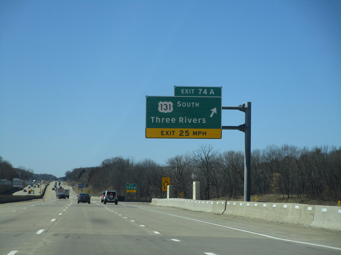
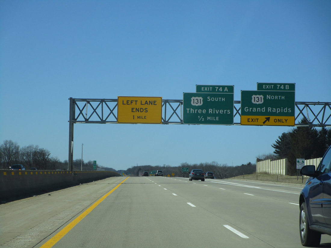
Exit 74A is the first half of an interchange with US Route 131. This first ramp brings people southward toward Three Rivers:
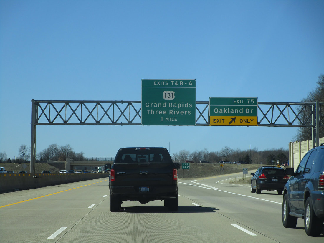
Exit 74B leads to US Route 131 northward. Grand Rapids is up in that direction:
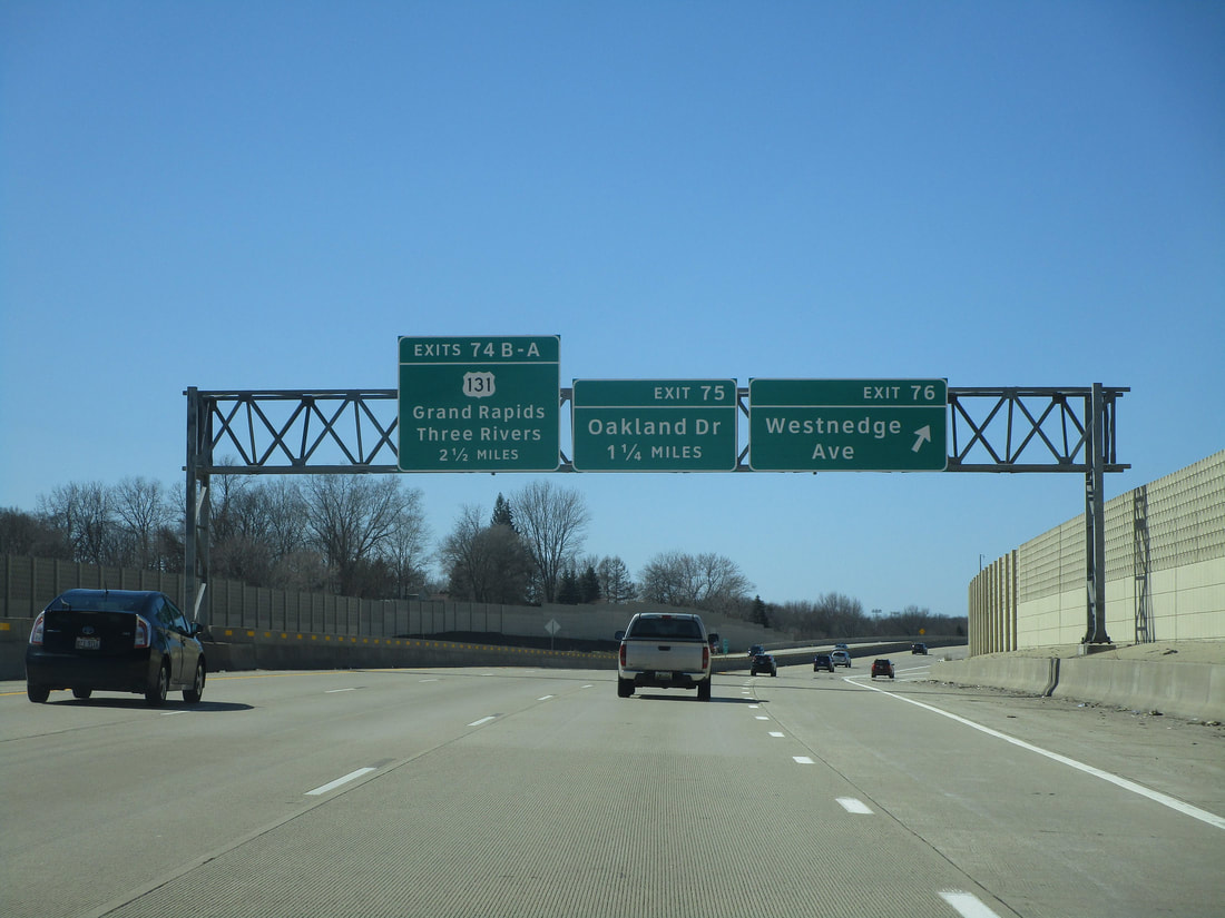
Exit 75 is the first of many in the Kalamazoo area; it leads to Oakland Drive:
Exit 76 is for Westnedge Avenue, one of the main north-south streets leading to downtown Kalamazoo:
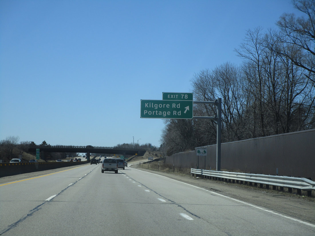
Exit 78 leads to Kilgore Road and Portage Road:
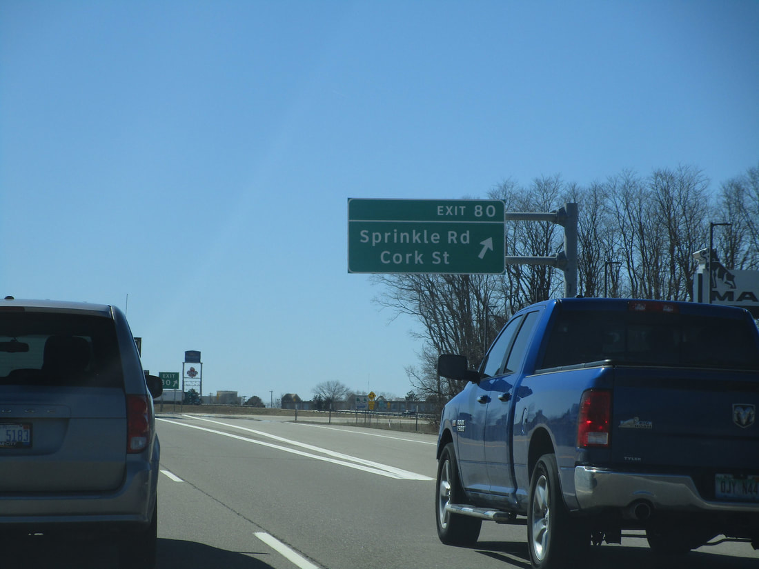
Exit 80, still in the Kalamazoo area, is for Cork Street and Sprinkle Road (I'm guessing Sprinkle is some kind of German surname):
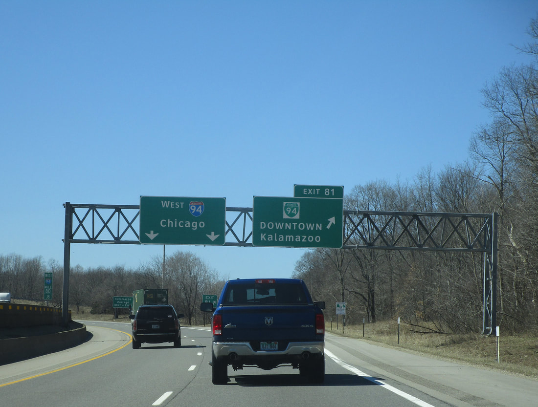
Exit 81 leads to the eastern end of Kalamazoo's iteration of Business Loop I-94. The western end occurs at US Route 131, which is why it hasn't been mentioned on signs west of here. This interchange only provides access to/from the east along Interstate 94:
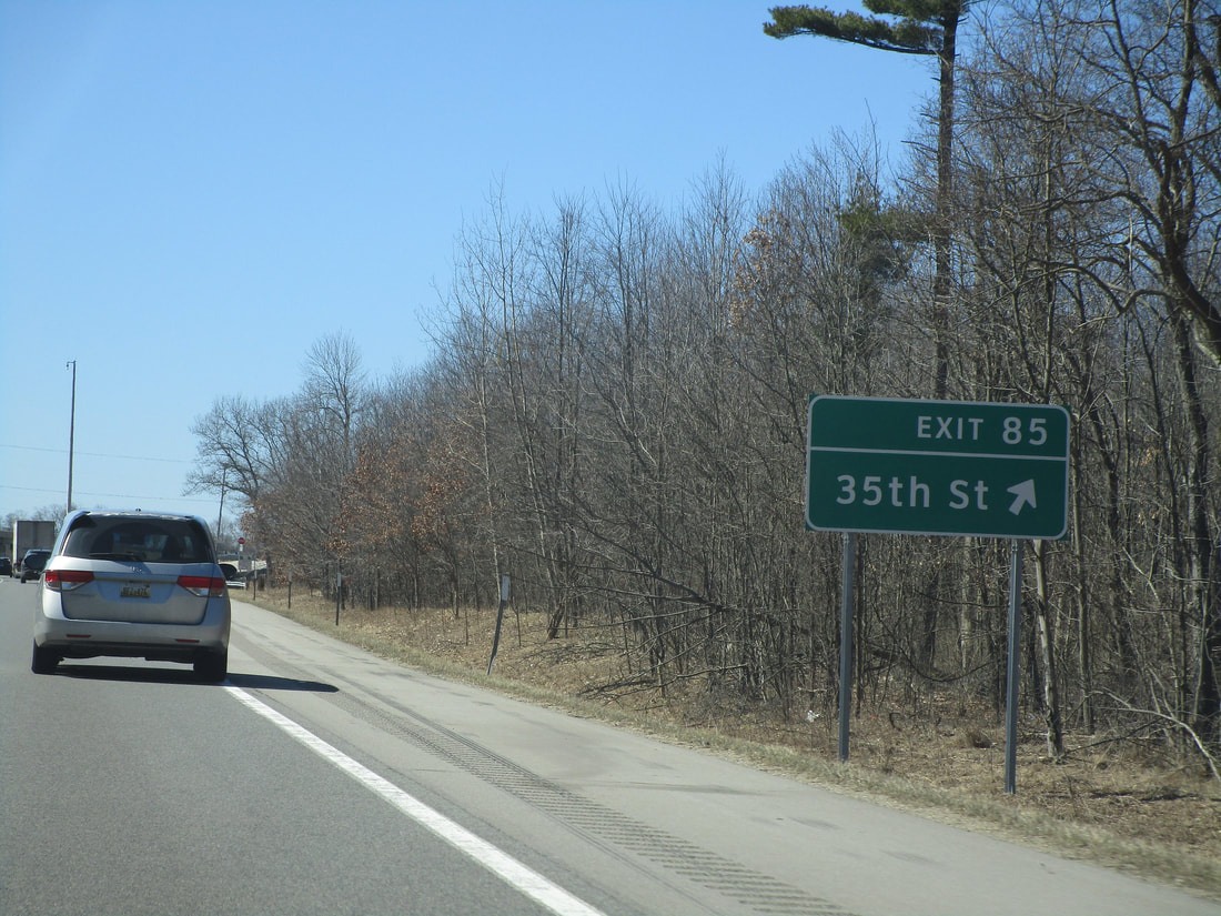
Exit 85 provides access to 35th Street, a local road near Galesburg, Michigan:
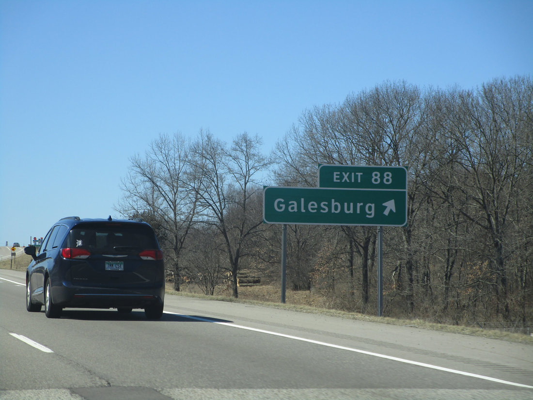
Exit 88 appears to be the official exit to Galesburg:
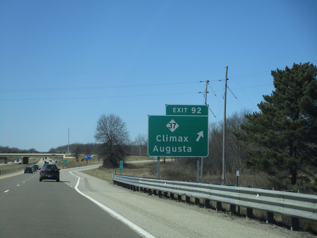
Exit 92 allows travelers to reach Michigan 37, a route extending to Climax and Augusta, among other places:
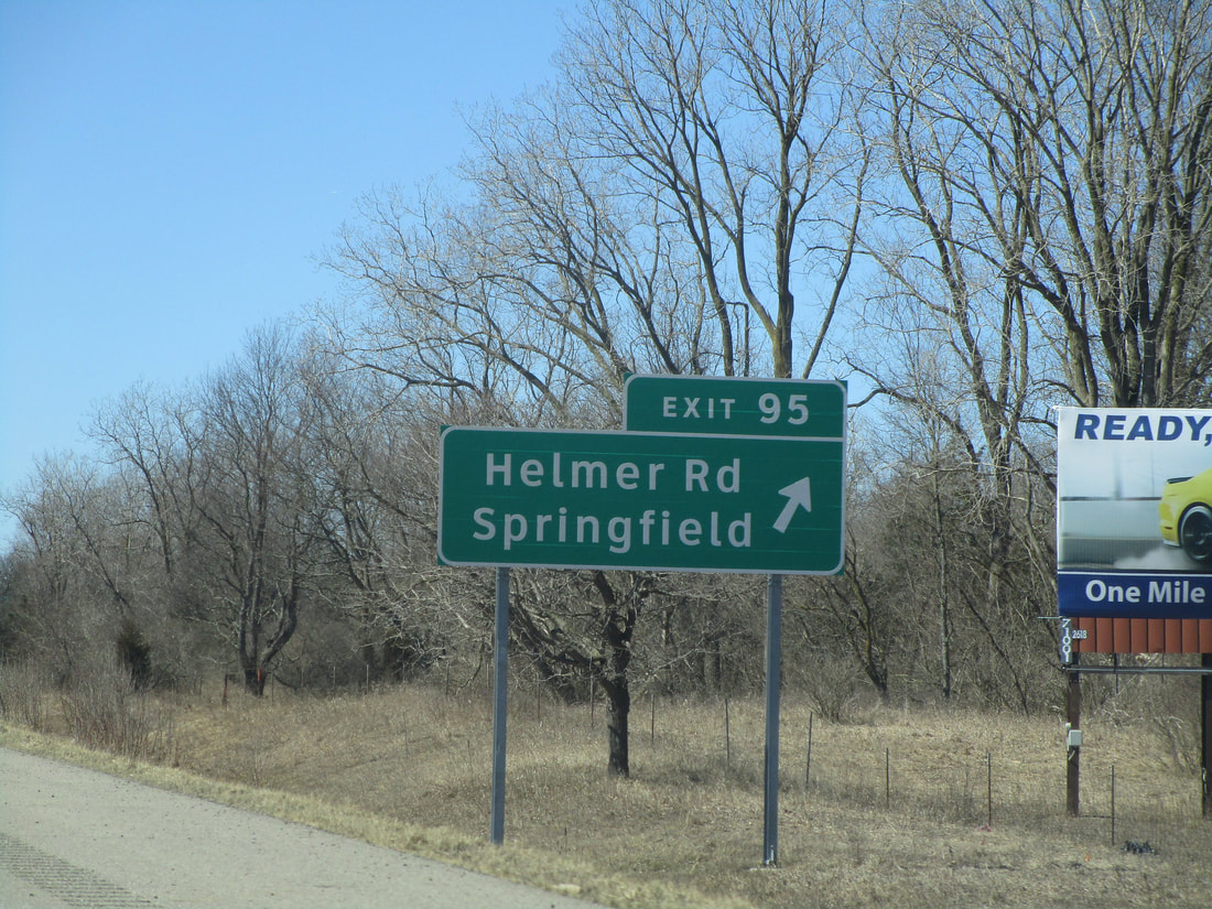
Exit 95 allows highway travelers to access Springfield, Michigan, via Helmer Road:
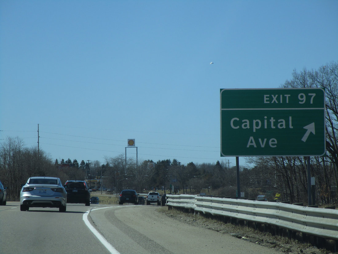
Exit 97 leads to Capital Avenue in the Battle Creek area:
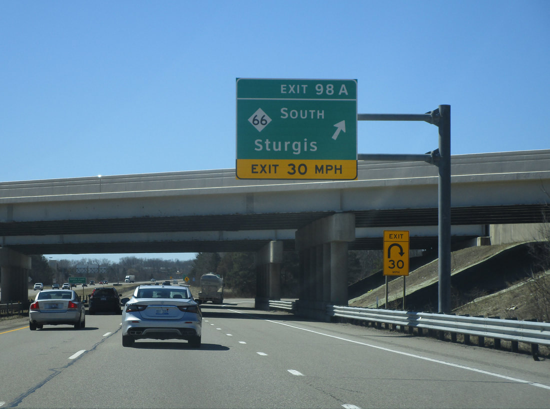
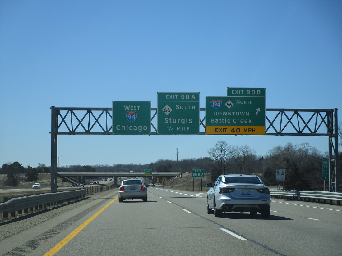
Exit 98A is the first half of an interchange with Interstate 194 and Michigan 66. As this ramp leads to a southbound departure from this interchange in Battle Creek, this ramp is for Michigan 66 south toward Sturgis:
Exit 98B is where Interstate 194 and Michigan 66 stem northward into Battle Creek:
Exit 100 leads to Michigan Route 294...
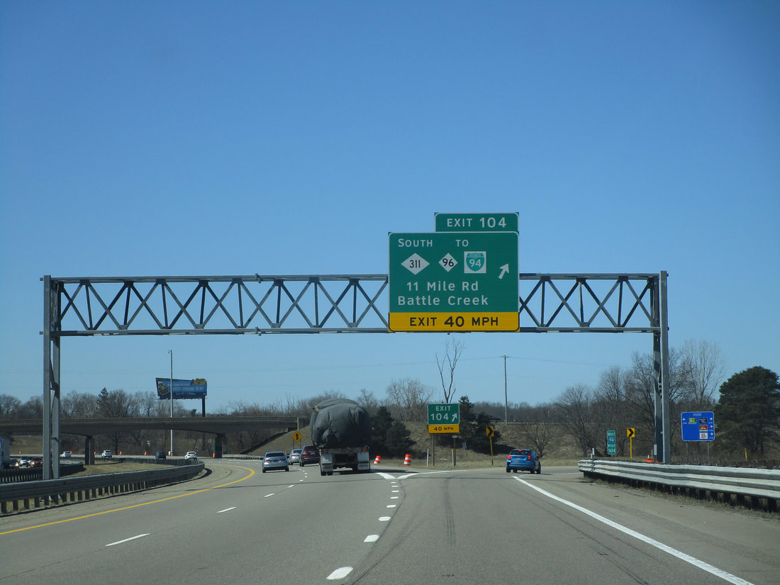
Exit 104 leads to Michigan Route 311, which uses 11 Mile Road. It's signed as the way to Michigan 96, Business Loop 94, and for some reason, Battle Creek:
Exit 108 leads to Interstate 69, which can take travelers north to Lansing or south to Fort Wayne...
Exit 110 is for Brewer Street in Marshall...
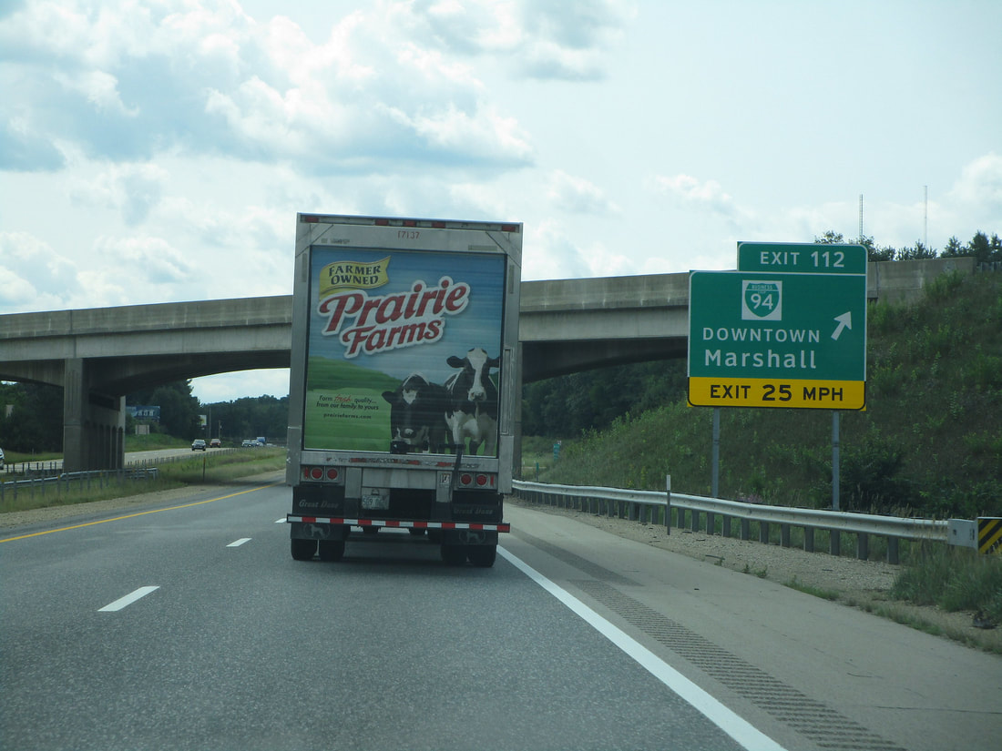
Exit 112 links to the eastern end of Marshall's iteration of Business Loop I-94:
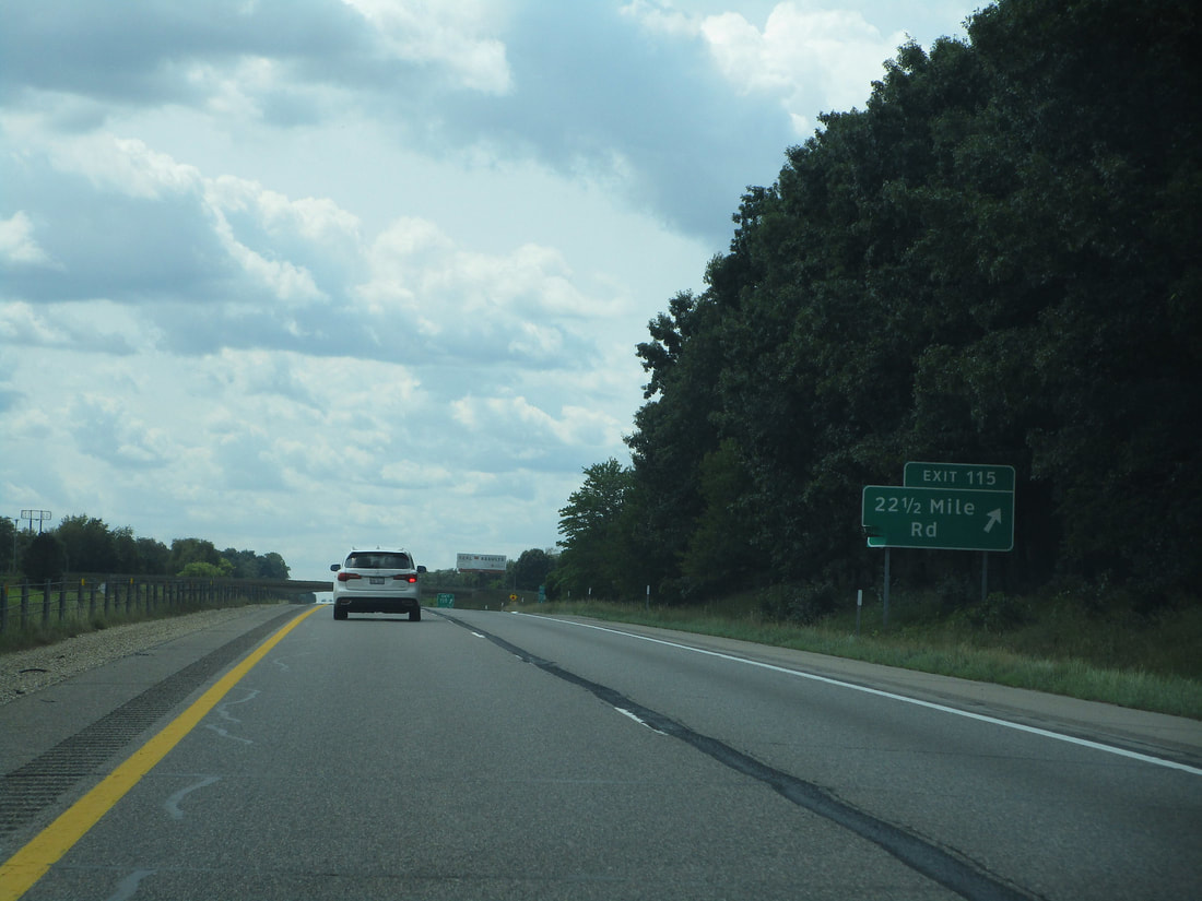
Exit 115 brings people to Marengo by way of 22 1/2 Mile Road:
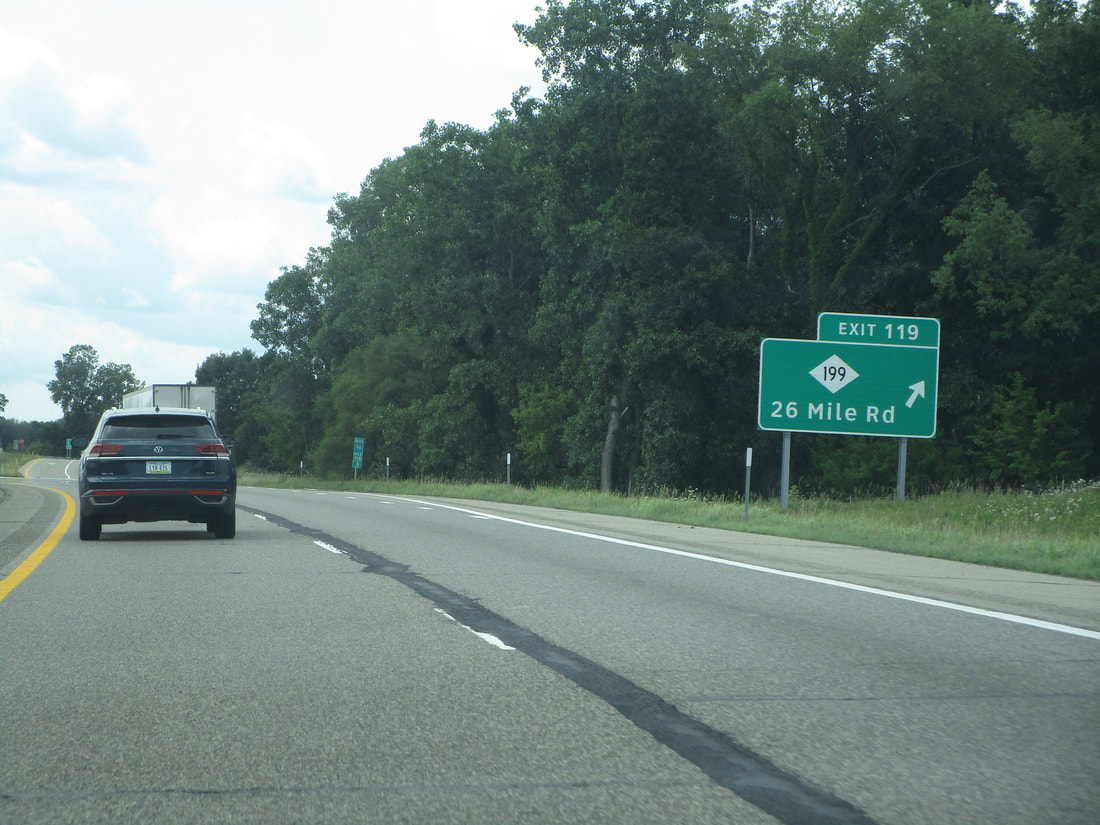
Exit 119 provides access to the northern end of Michigan 199, which is locally known as 26 Mile Road:
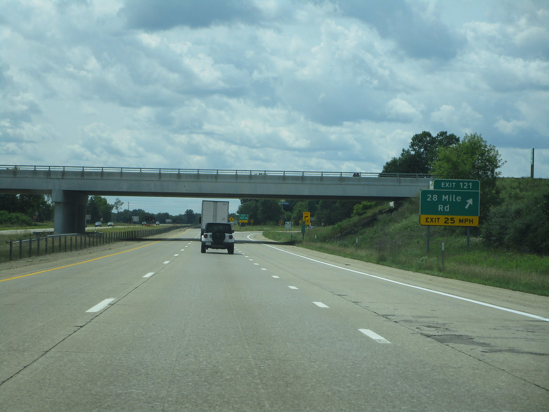
Exit 121 leads to 28 Mile Road near Albion:
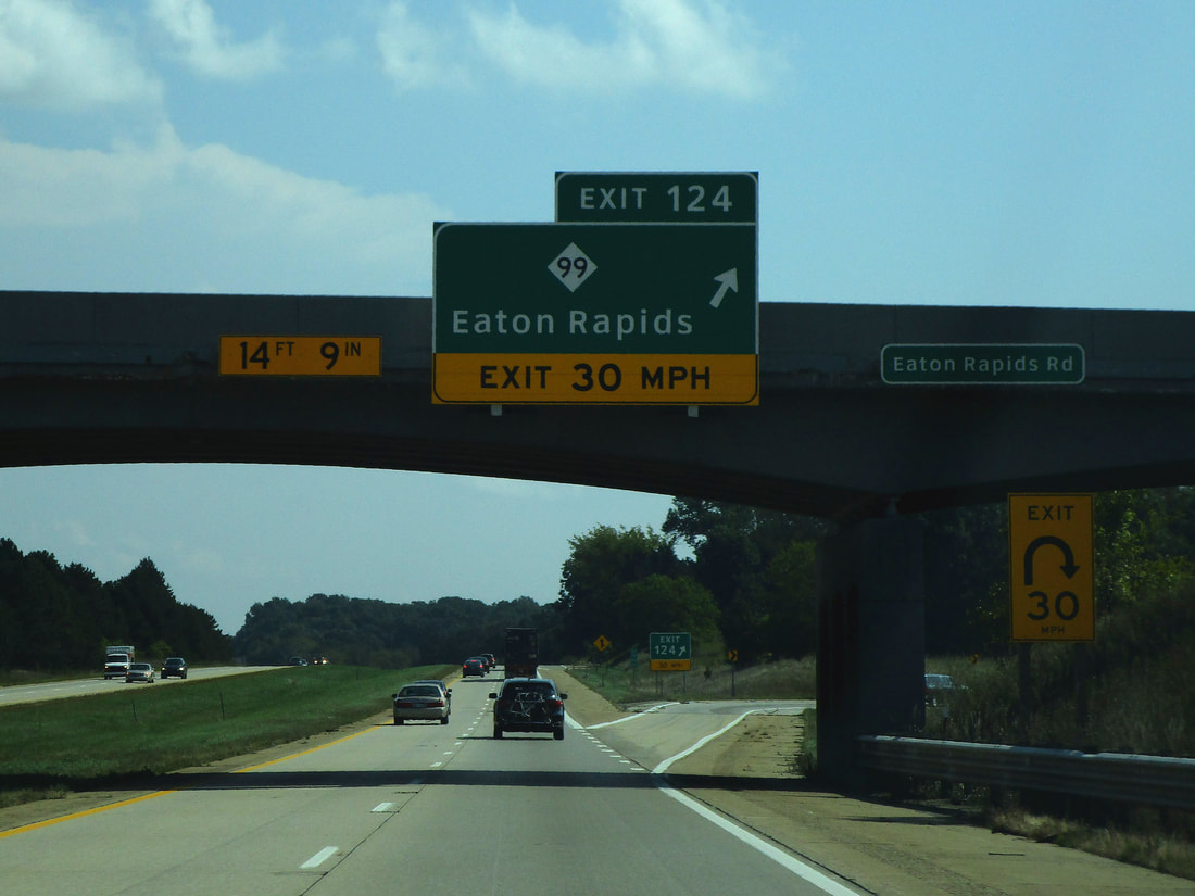
Exit 124 is an interchange leading to Michigan 99, a highway that can take people to Eaton Rapids:
Exit 127 is a link to Concord Road, which predictably leads to the village of Concord:

Exit 128 is a new dumbbell interchange to Michigan Avenue, an old alignment of US Route 12...
Exit 130 is to Parma Road, a road leading to Parma:
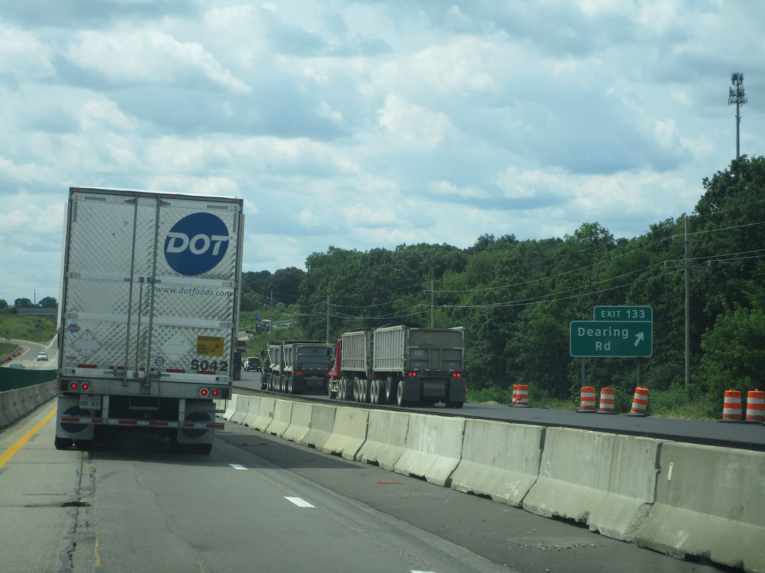
Exit 133 is to Dearing Road, which can bring travelers south to Spring Arbor:
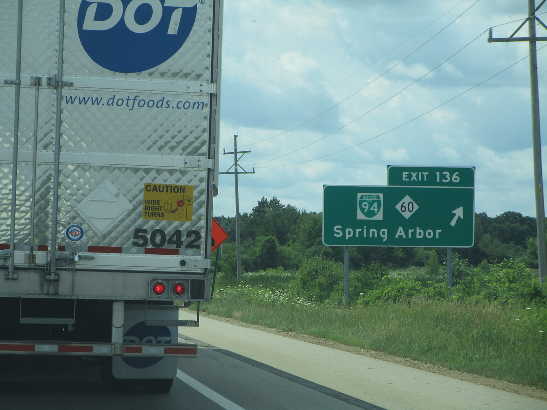
Exit 136 connects to the western end of Jackson's Business Loop I-94 and the eastern end of Michigan 60, a highway that leads southwesterly to Spring Arbor:
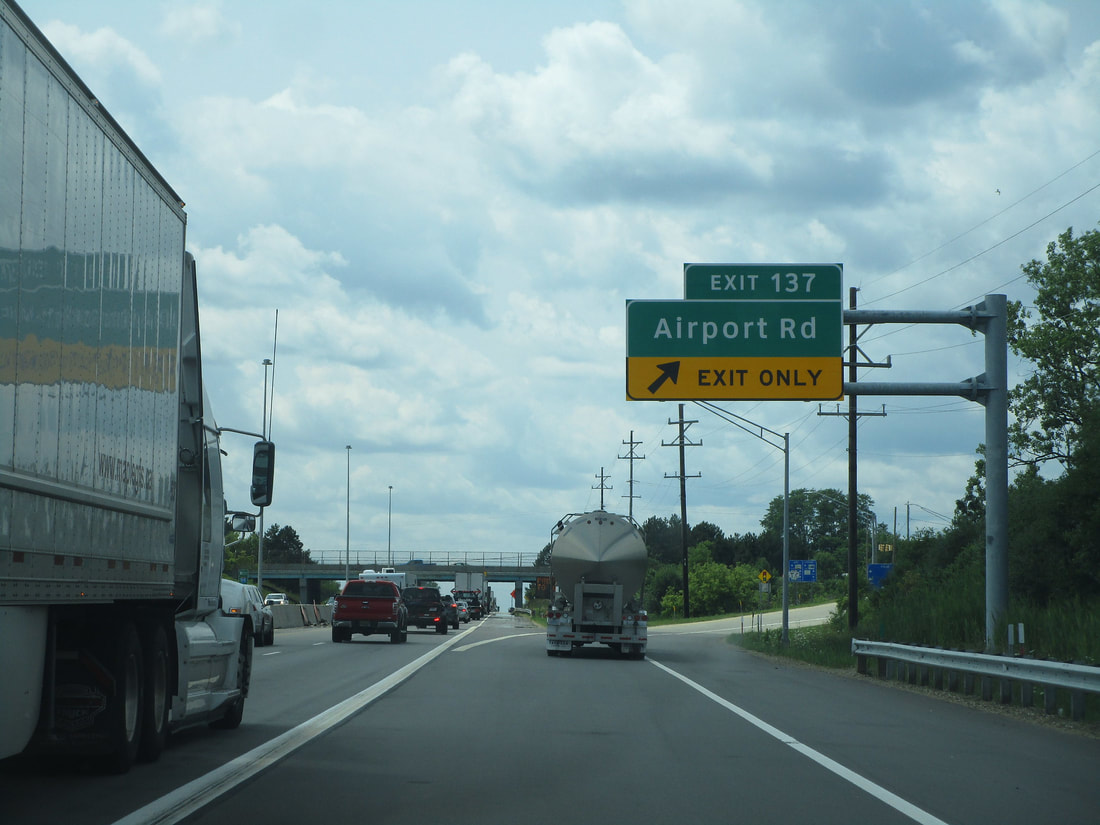
Exit 137 leads to Airport Road in Jackson, Michigan:
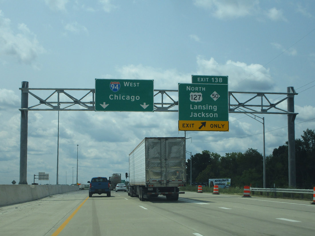
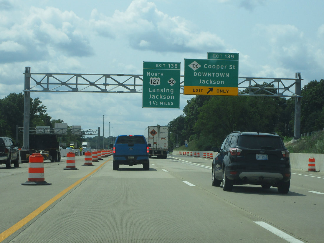
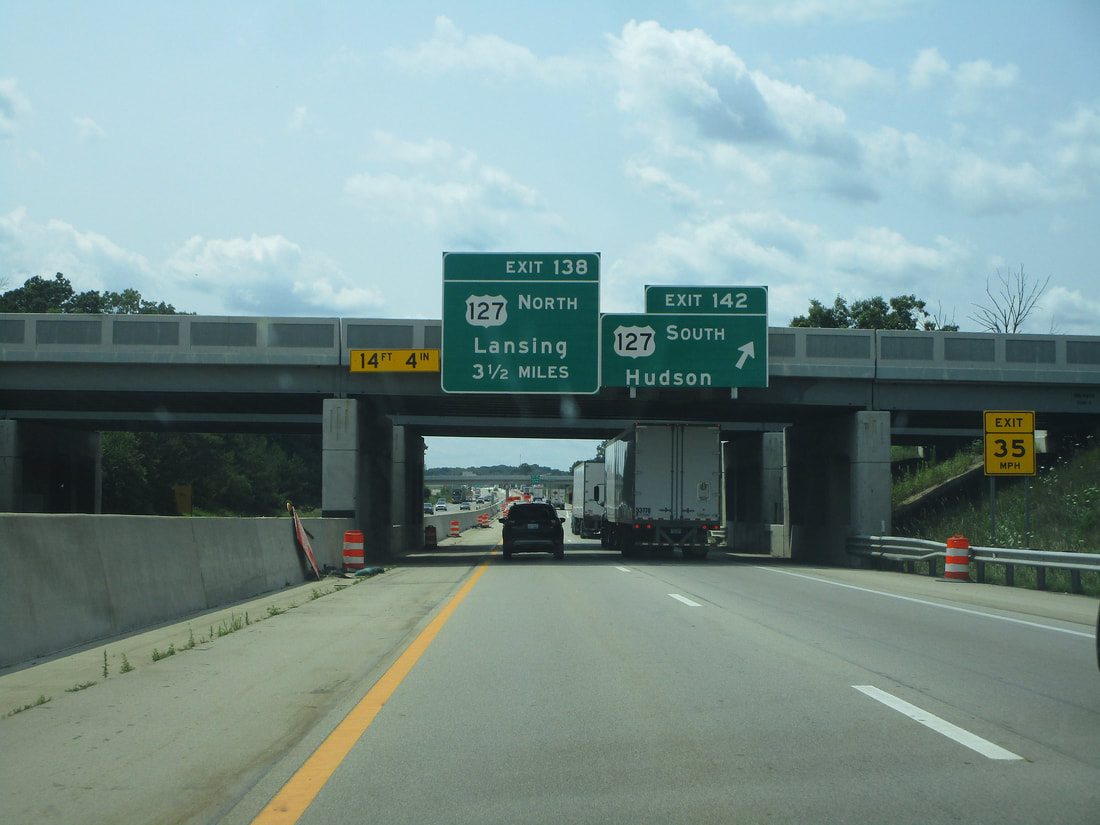
Exit 138 is where US Route 127 and Michigan 50 both join from the north. US Route 127 can being travelers north to Lansing:
Exit 139 is an interchange connecting to Michigan 106, known as Cooper Street, which can bring drivers to downtown Jackson:
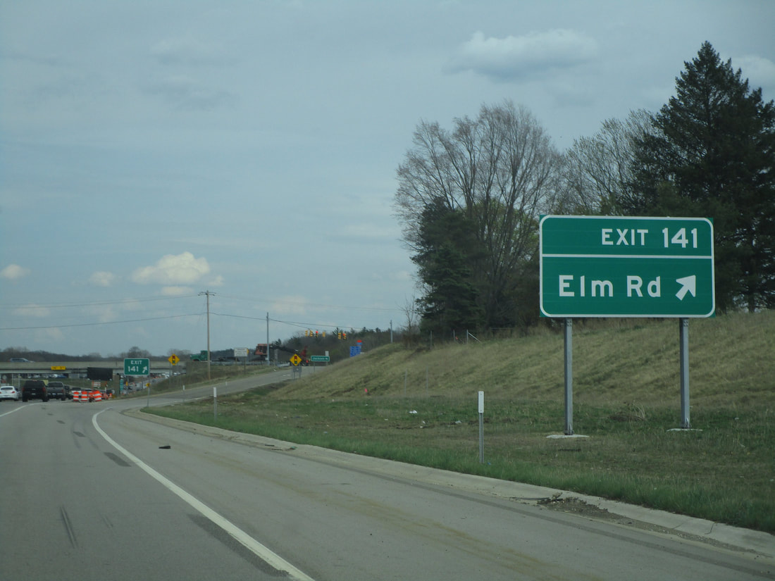
Exit 141 is for Elm Road in Jackson:
Exit 142 leads to US Route 127 south, toward Hudson:
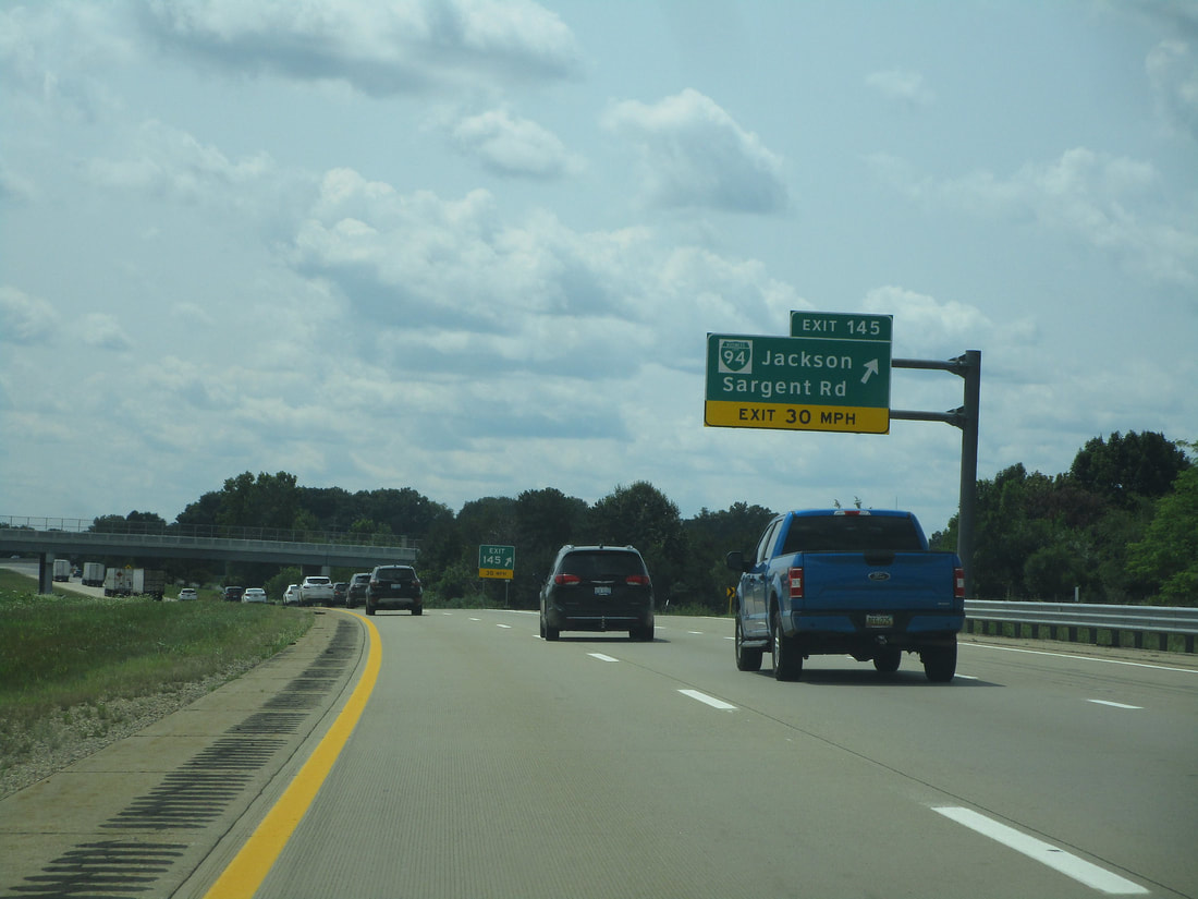
Exit 145 represents the eastern end of Jackson's iteration of Business Loop Interstate 94; it also accesses Sargent Road:
Exit 147 provides a link to Race Road...
Exit 150 is for Mount Hope Road...
Exit 153 leads to Clear Lake Road...
Exit 156 is for reaching Kalmbach Road:

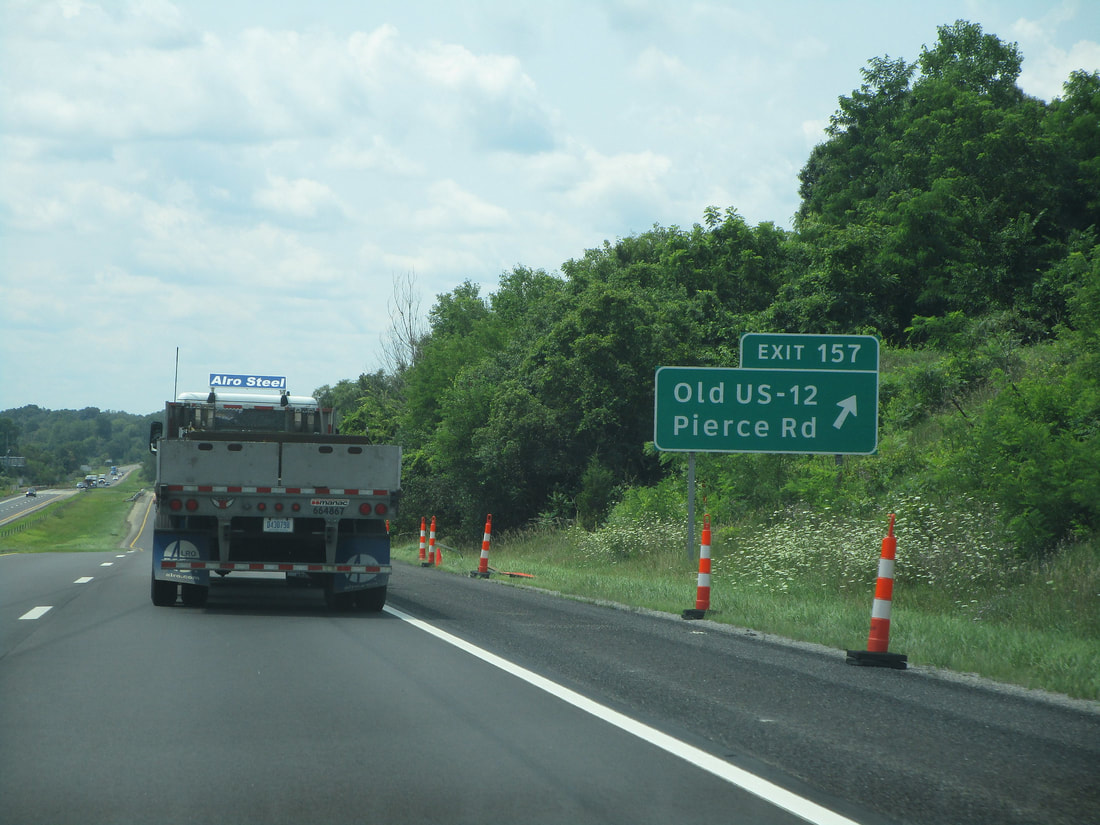
Exit 157 leads to Old US 12 and Pierce Road:
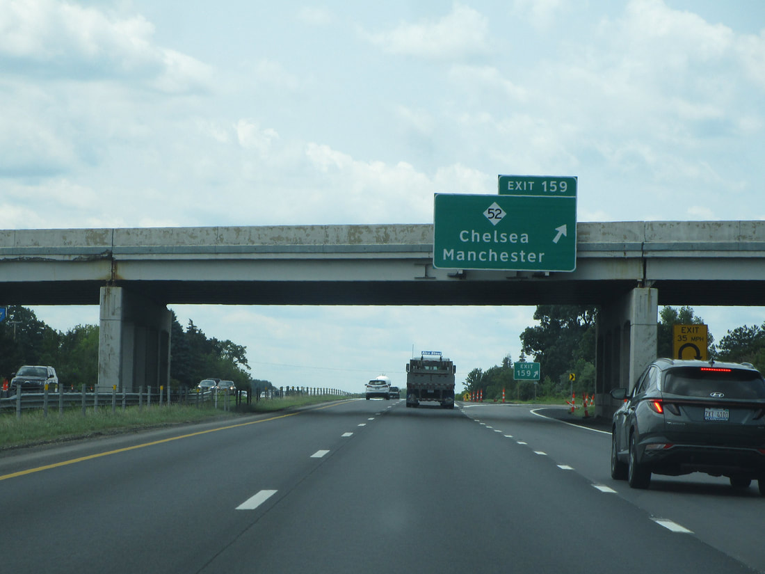
Exit 158 connects with Michigan 52, a highway leading to Chelsea and Manchester:
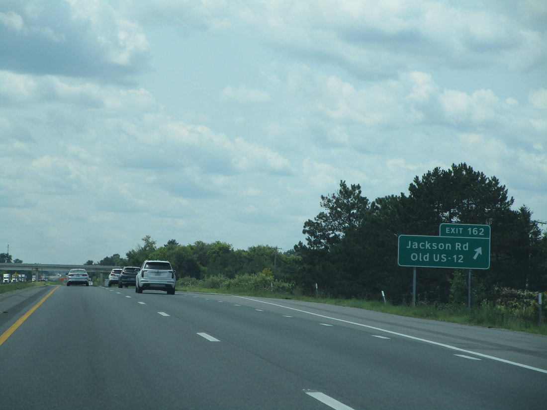
Exit 162 leads to another former alignment of US Route 12, now known as Jackson Road:
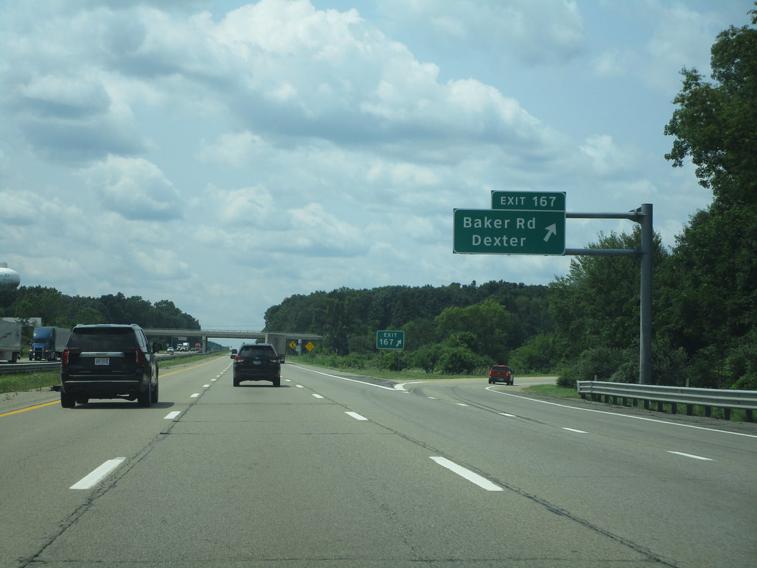
Exit 167 provides a link to Baker Road and Dexter:
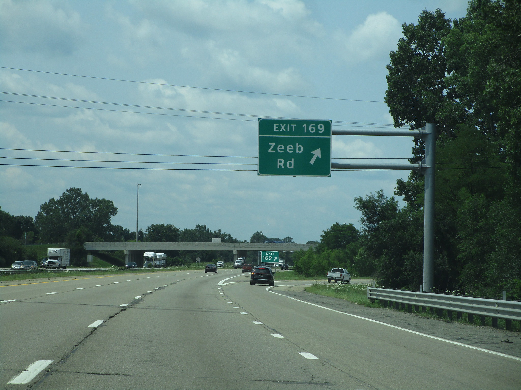
Exit 169 is for Zeeb Road:
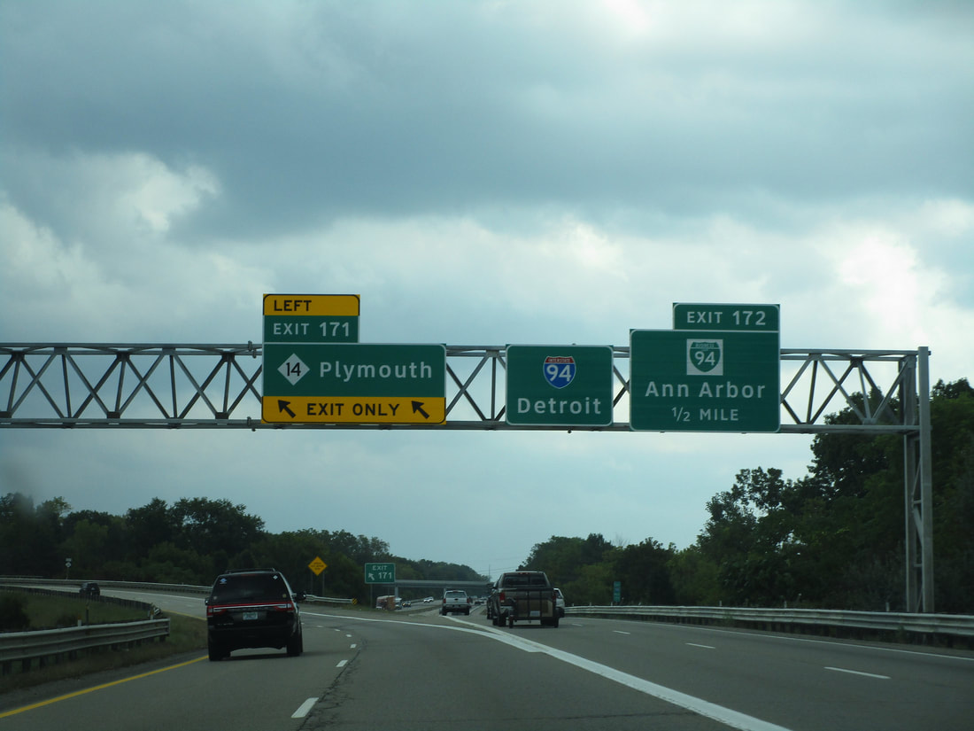
Exit 171 is a left exit from those coming from the west, used to reach the Michigan Highway 14 freeway:
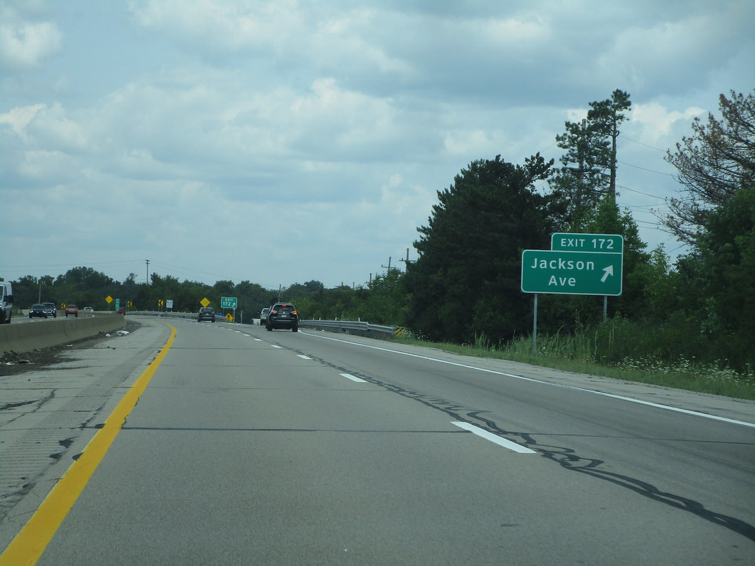
Exit 172 is the Ann Arbor edition of the access to Jackson Road:
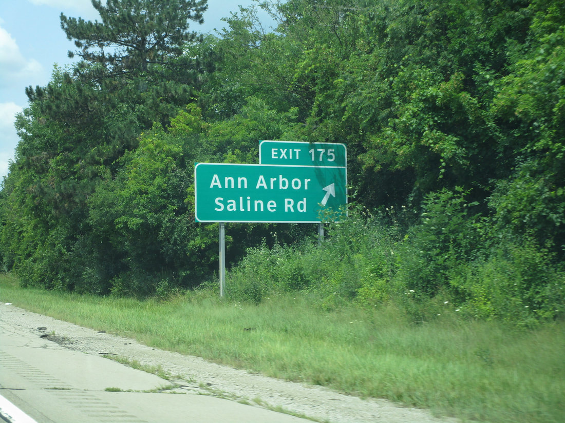
Exit 175 is another exit leading to Ann Arbor. This ramp leads to Saline Road:
Exit 177 leads to State Street in Ann Arbor:
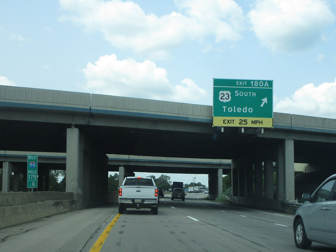
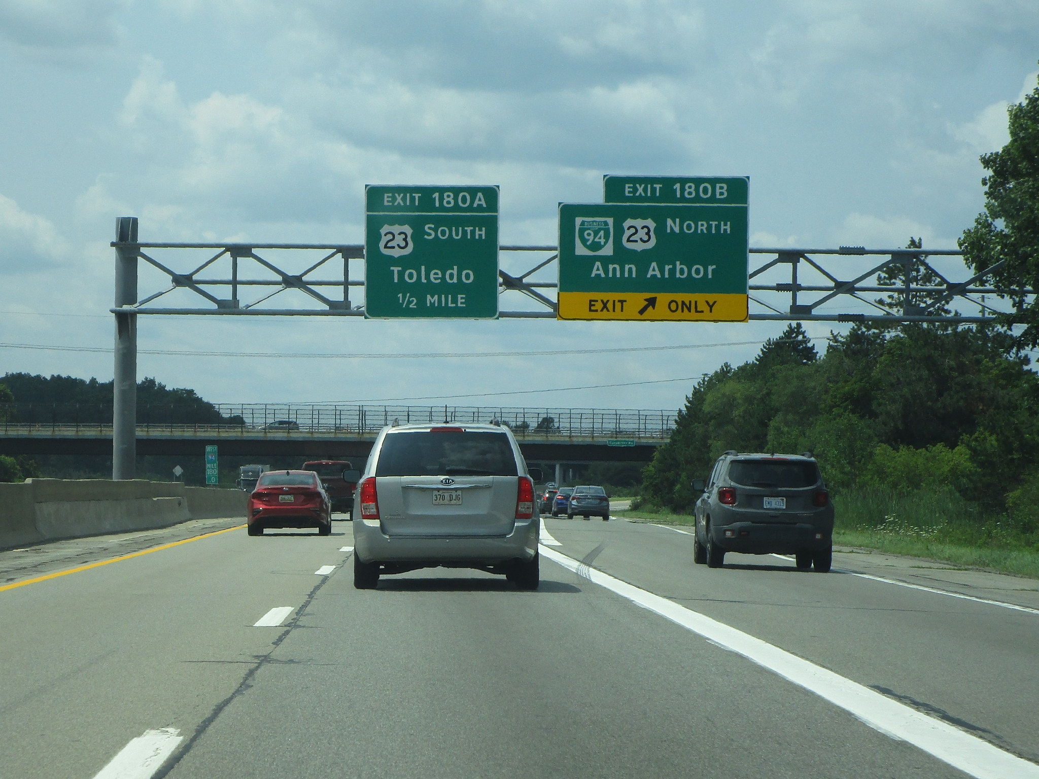
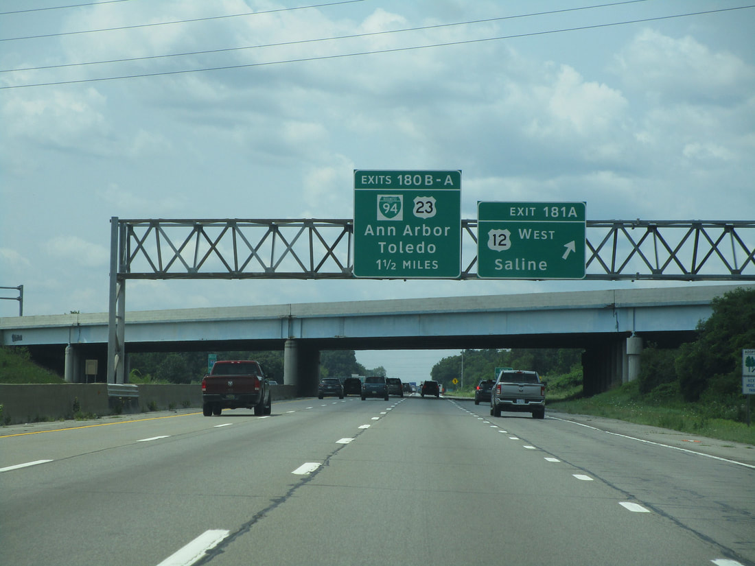
Exit 180A is a ramp to US Route 23, for those looking to travel toward Toledo:
Exit 180B is the second half of the US Route 23 interchange, for those seeking to get further into Ann Arbor:
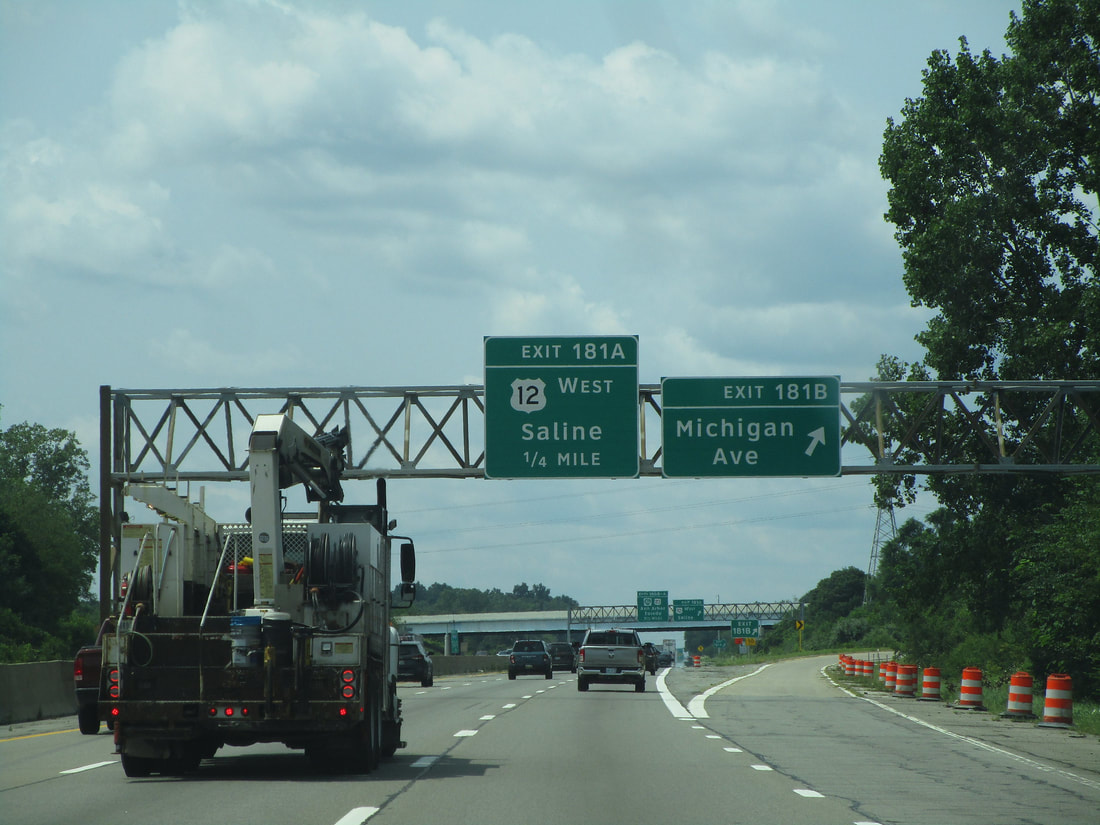
Exit 181A leads to US Route 12 westward, toward Saline, Michigan:
Exit 181B is the second half of the same interchange, leading east along Michigan Avenue:
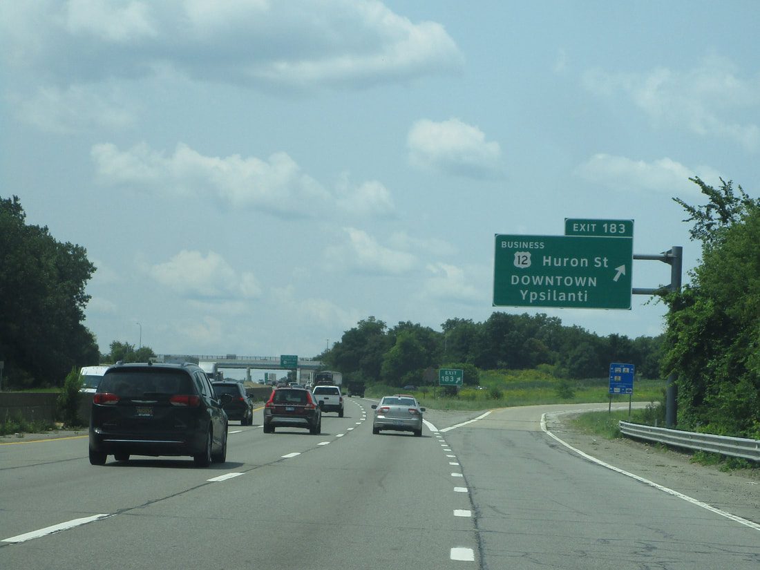
Exit 183 provides access to downtown Ypsilanti via US Route 12's business alignment, labeled as "Huron Street":
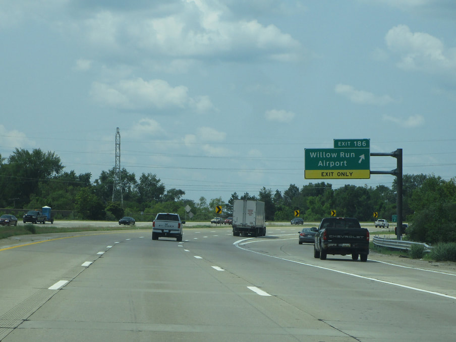
Exit 185 is a ramp to US Route 12, a way to the Willow Run Airport, for those moving eastbound on Interstate 94...
Exit 186 provides a connection to Willow Run and the Willow Run Airport:
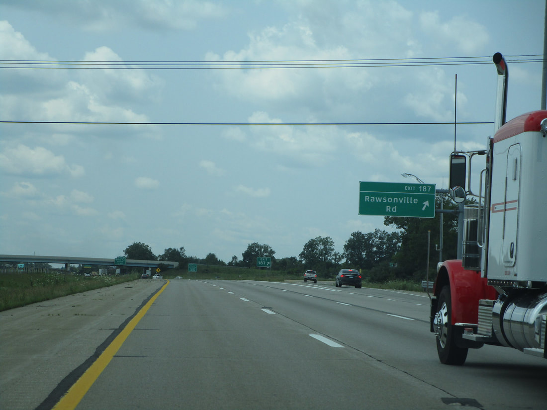
Exit 187 leads to Rawsonville Road:
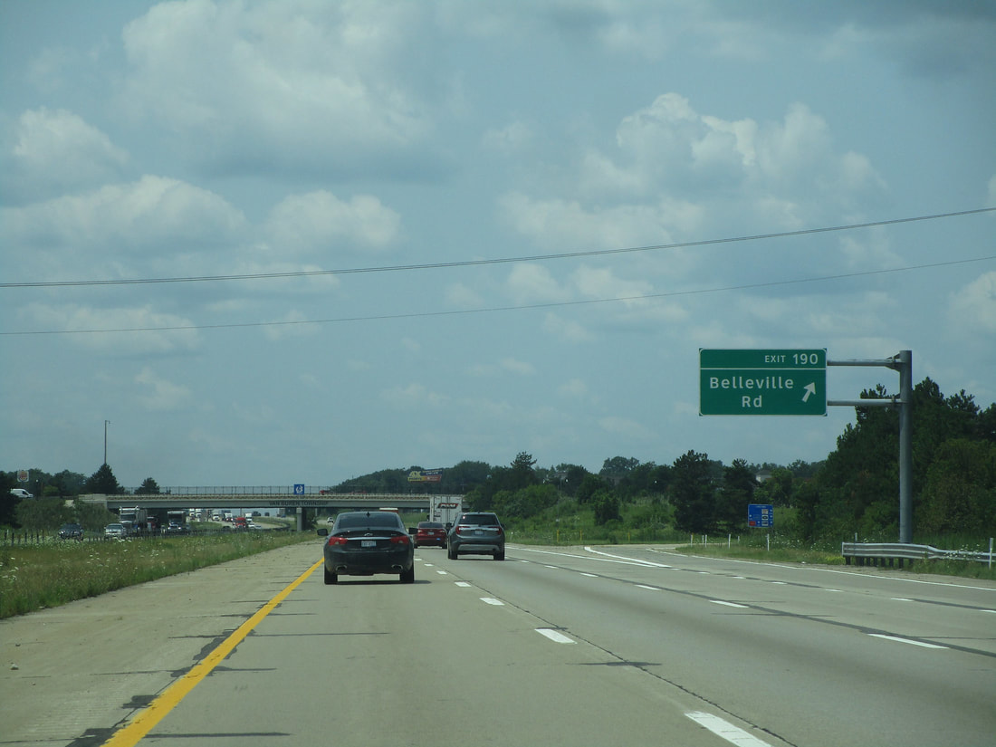
Exit 190 brings travelers to Belleville Road:
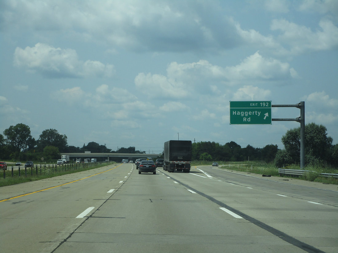
Exit 192 provides access to Haggerty Road:
Exit 194 is a pair of ramps leading to Interstate 275...
Exit 196 is for Wayne Road, which unsurprisingly is the way to the village of Wayne:
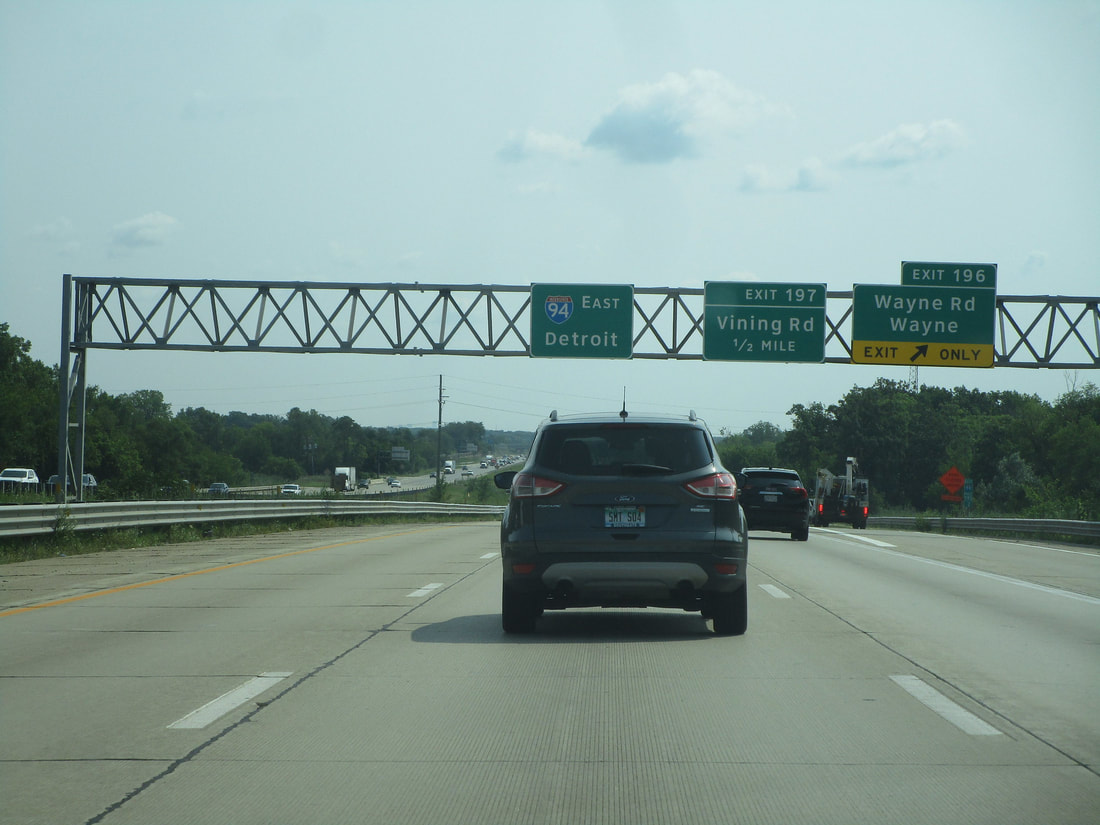
Exit 197 is for Vining Road:
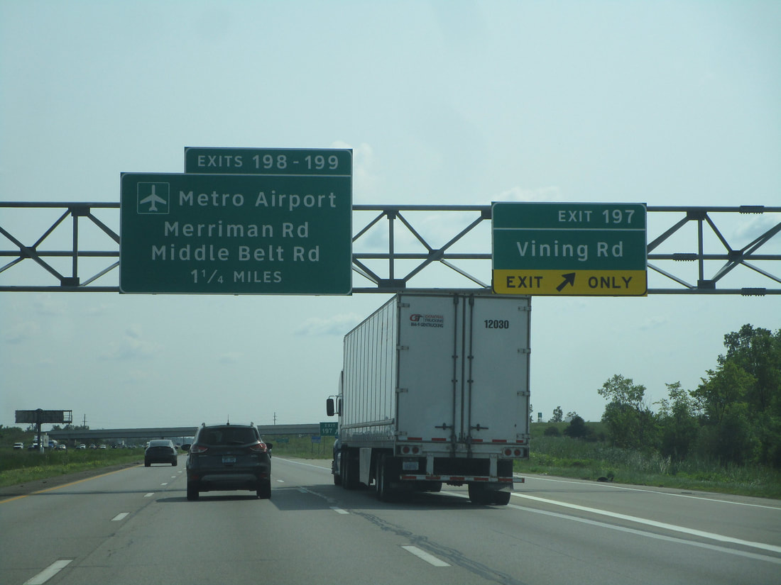
Exit 198A leads to Merriman Road south toward Detroit's metropolitan airport:
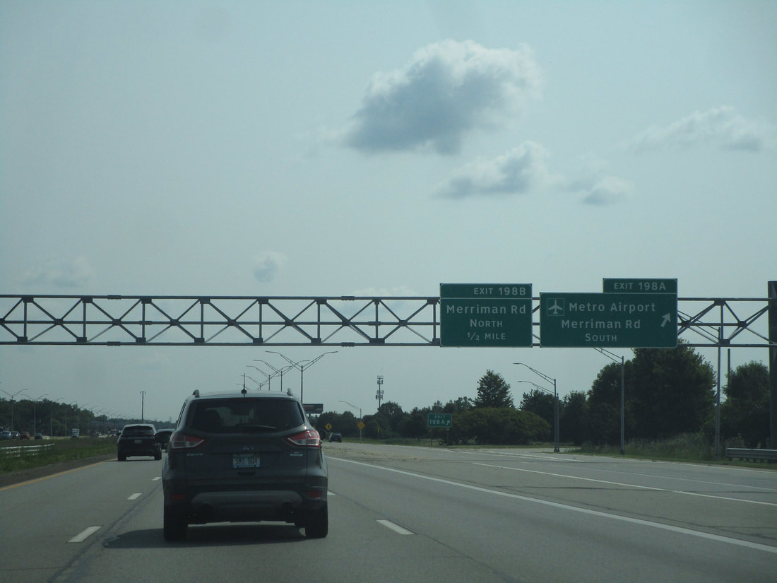
Exit 198B is for Merriman Road northbound:
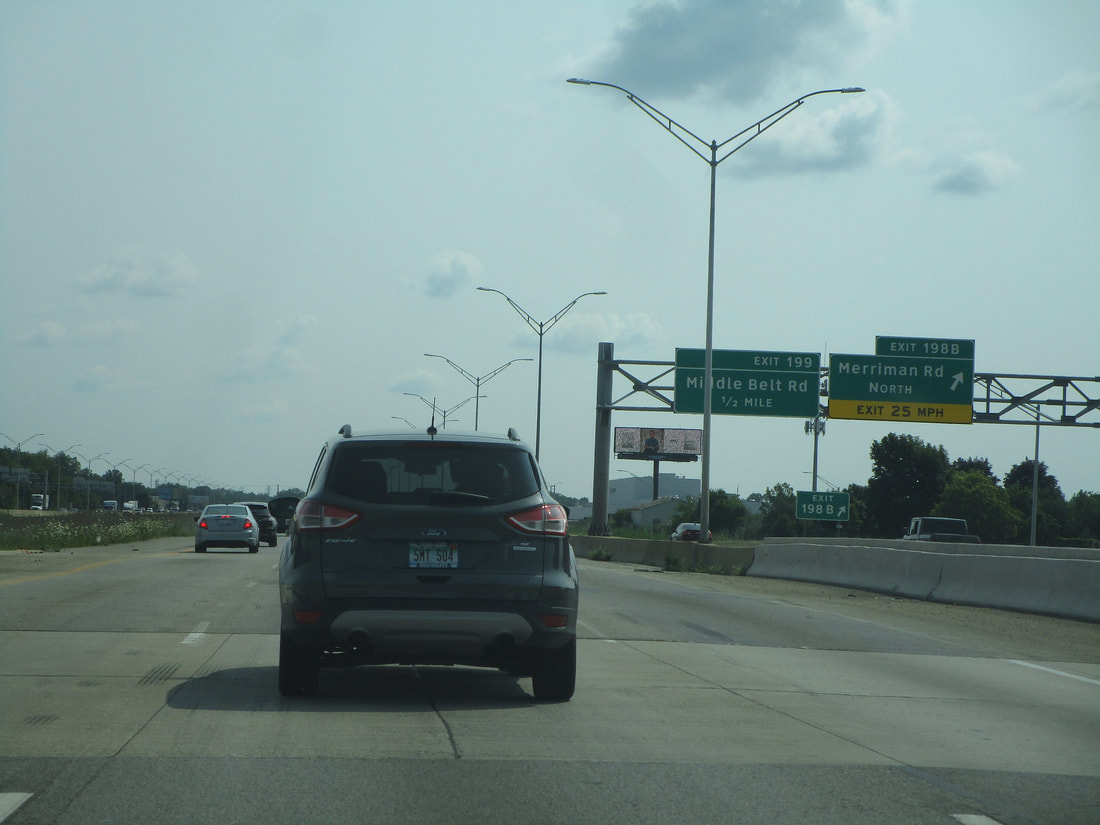
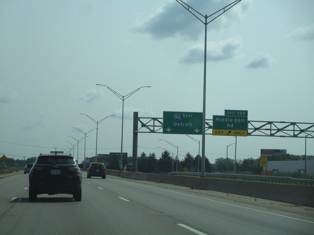
Exit 199 is a gateway to Middle Belt Road:
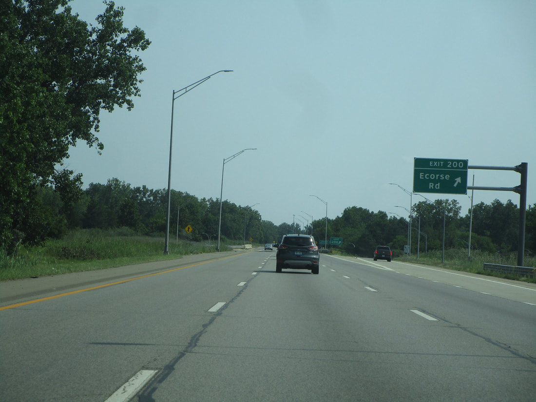
Exit 200 provides access to Ecorse Road:
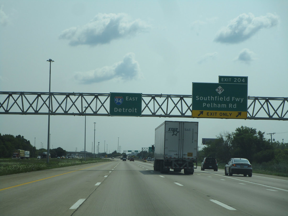
Exit 204 is an interchange to Michigan 39, a freeway known as the Southfield Freeway:
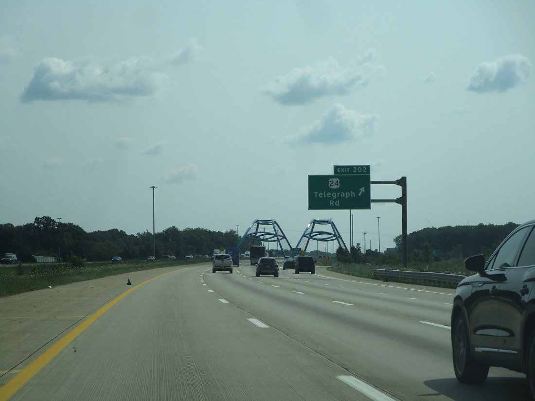
Exit 202 is a SPUI for Telegraph Road, which carries US Route 24:
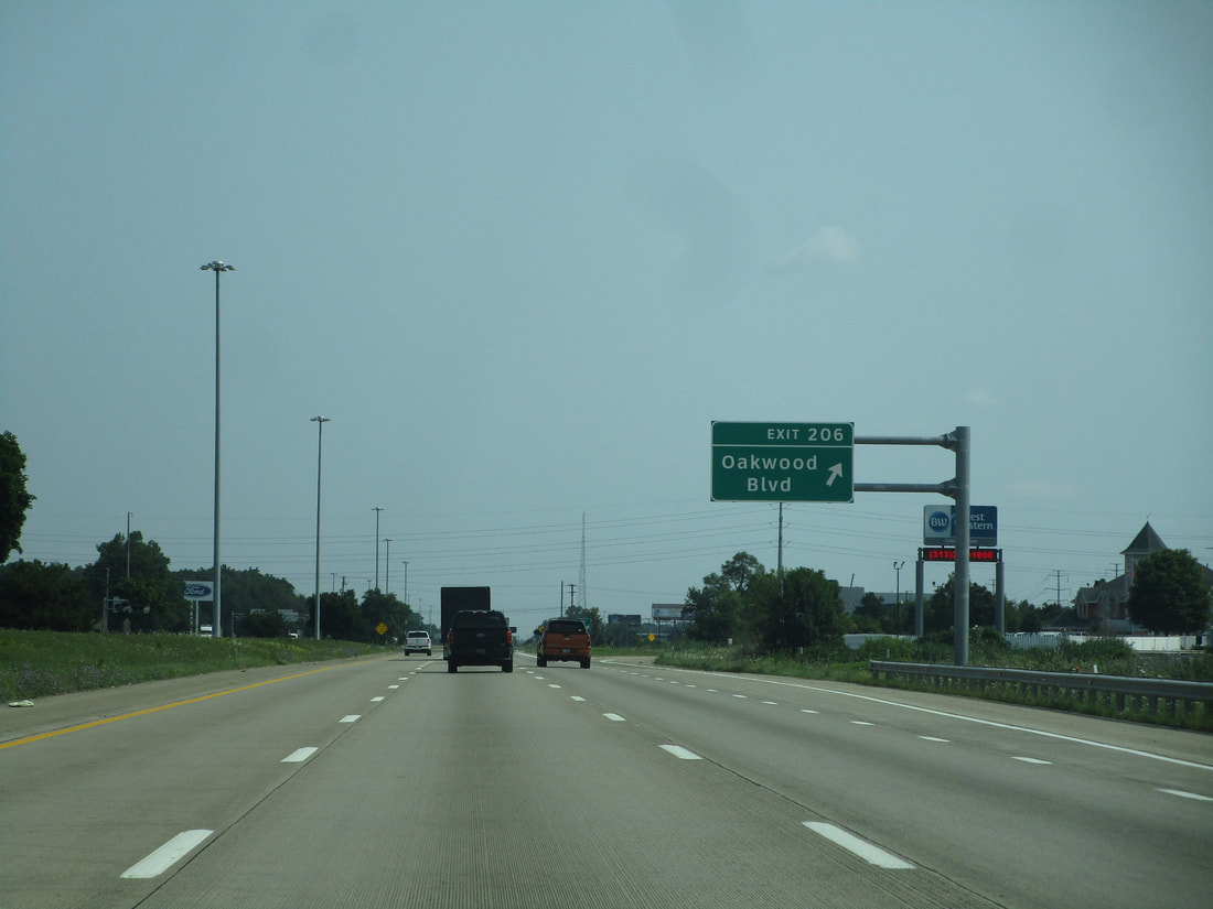
Exit 206 leads to Oakwood Boulevard in the Dearborn area:
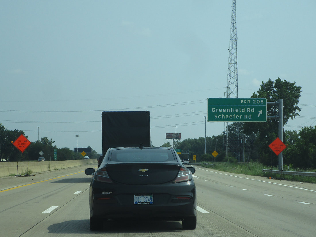
Exit 208 splits into a pair of ramps, one leading to Schaefer Road and the other leading to Greenfield Road:
Exit 209 only provides access to Rotunda Drive to/from the east along Interstate 94...
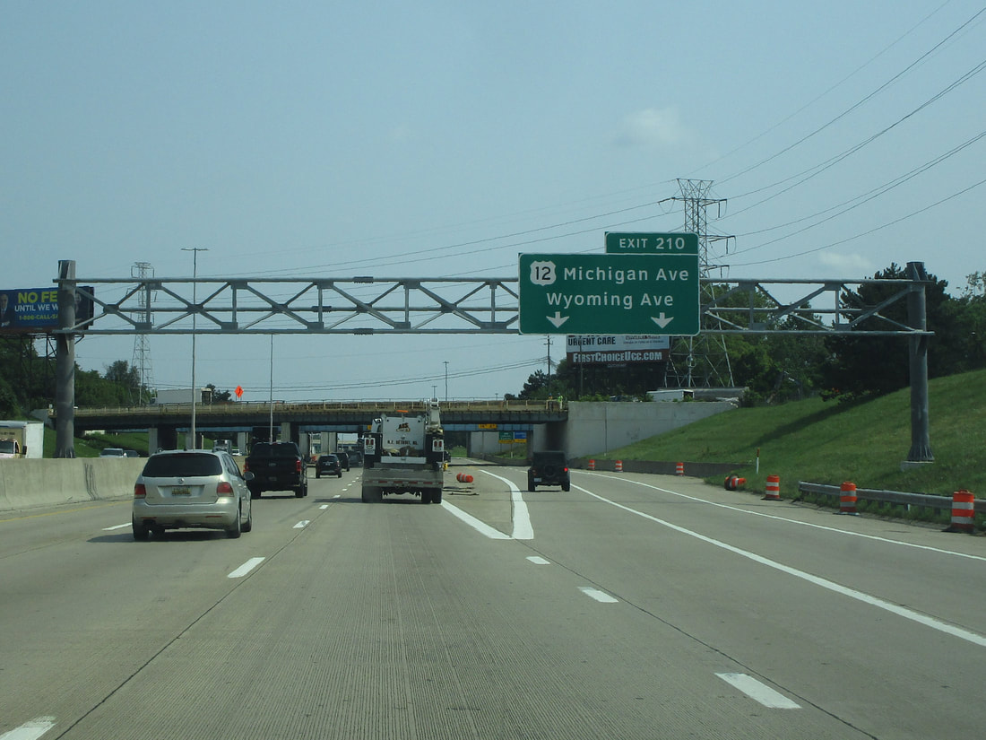
Exit 210A leads to US Route 12 and Wyoming Avenue (US Route 12 is known as Michigan Avenue in this area):
Exit 210B leads to Addison Street, but access is only provided to/from the east:
Exit 211A leads to Lonyo Street, but access is only provided to/from the east:
Exit 211A leads to Cecil Avenue, but access is only provided to/from the east:
Exit 212A provides full access to Livernois Avenue:
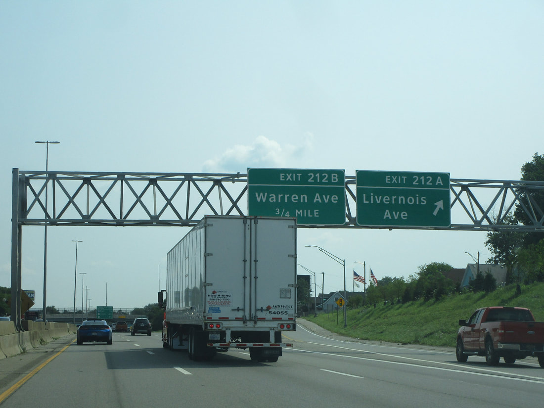
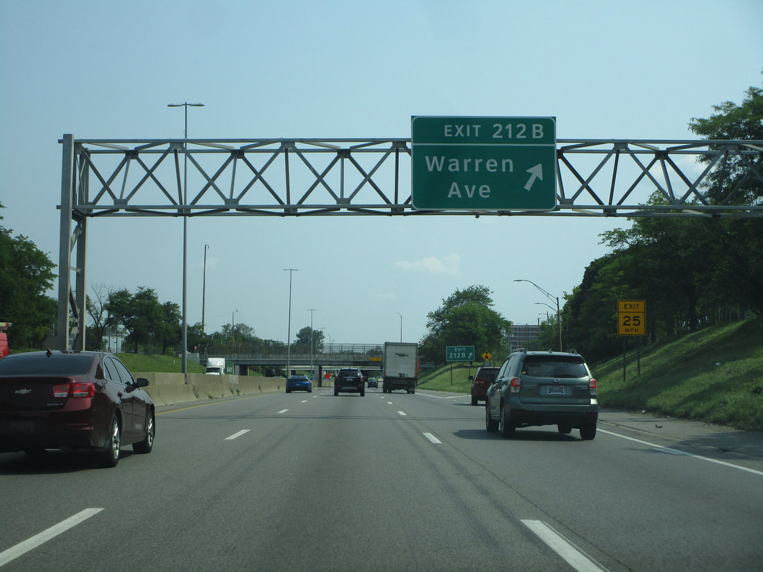
Exit 212B gives travelers access to Warren Avenue:
Exit 213A provides a link to Grand Boulevard, but access is only provided to/from the east:
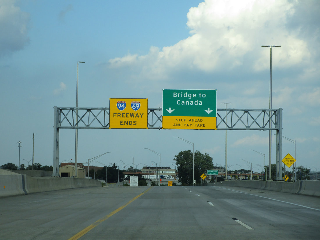
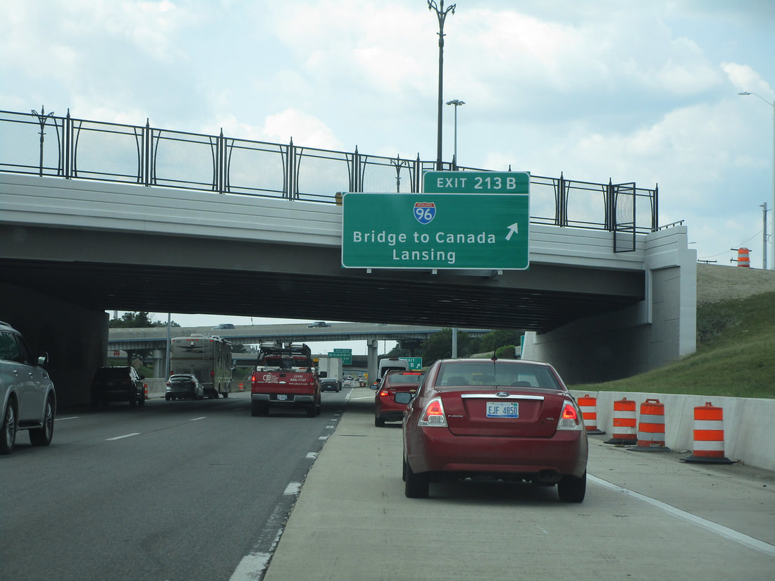
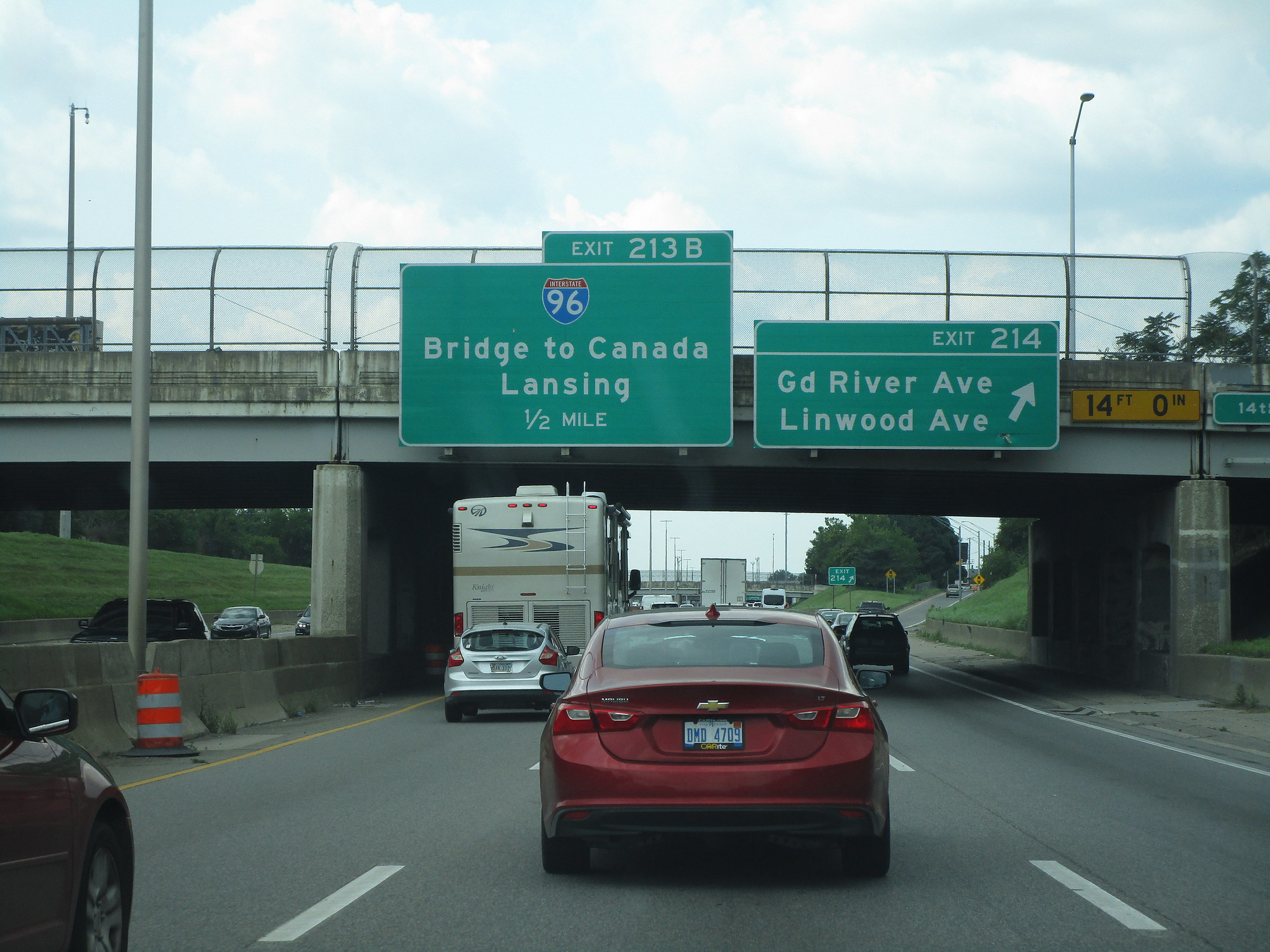
Exit 213B leads to Interstate 96, toward Lansing to the west or the bridge to Canada to the east:
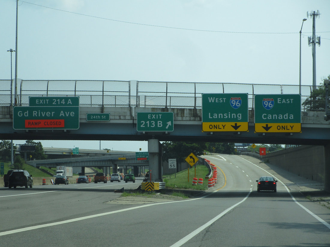
Exit 214 is the way to Grand River Avenue and Linwood Avenue
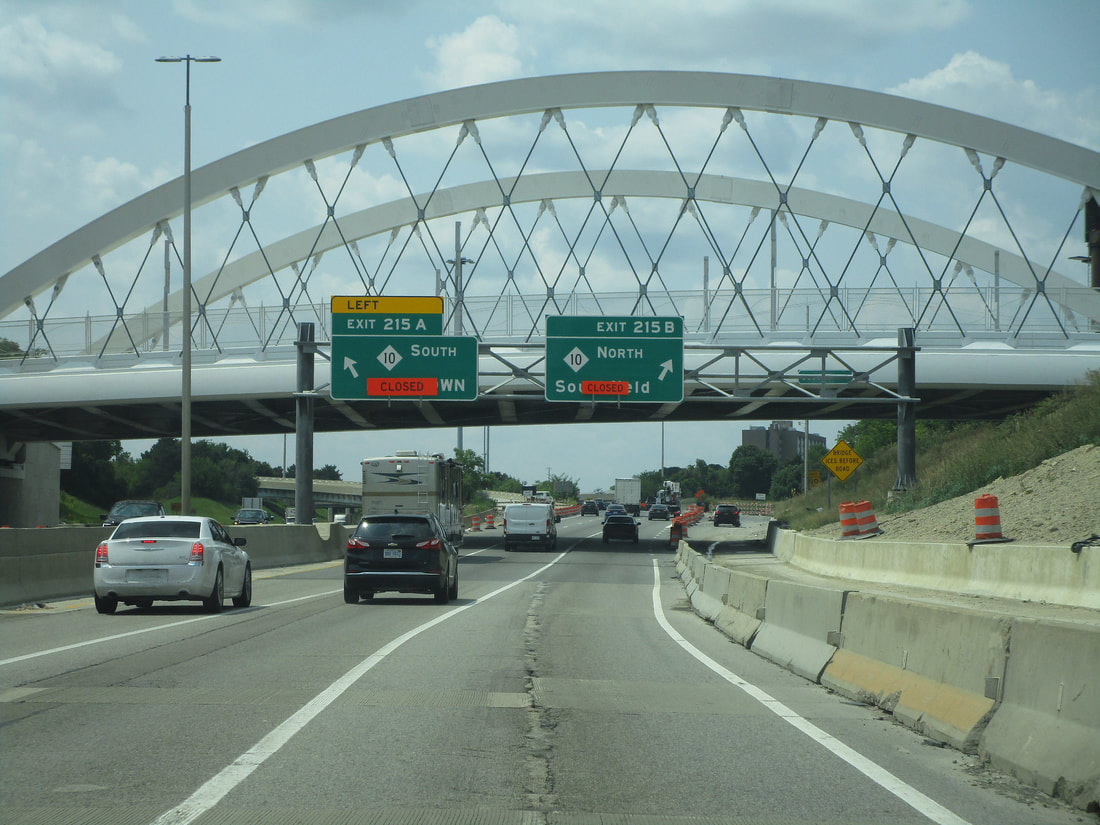
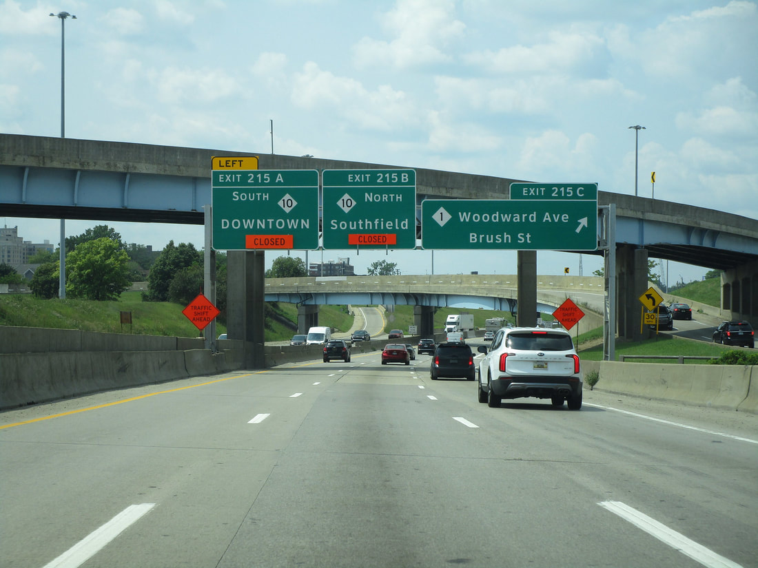
Exit 215A and Exit 215B lead to Michigan Highway 10, a freeway connecting to Downtown and to Southfield:
Exit 215C leads to Woodward Avenue, which carries Michigan Highway 1; Brush Street is also accessible here:
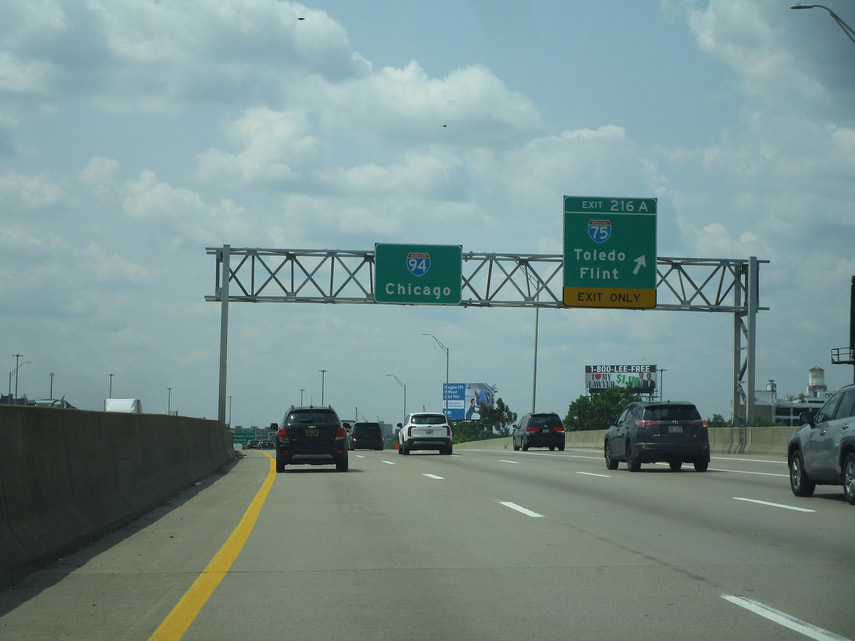
Exit 216 leads to Interstate 75, which can take people north to Flint or south to Toledo:
Exit 217 leads to Mount Elliott Avenue and East Grand Blvd....
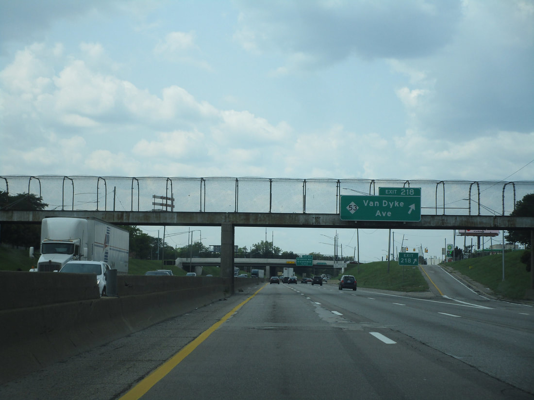
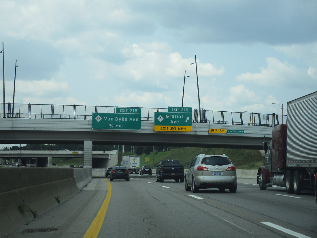
Exit 218 connects with Michigan 53, known as Van Dyke Avenue:
Exit 219 links to Gratiot Avenue, which carries Michigan Highway 3:
Exit 220A connects to French Road:
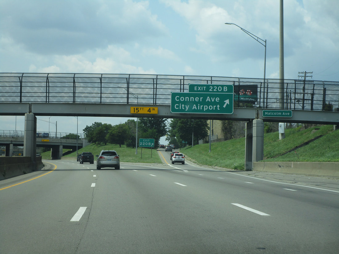
Exit 220B brings people to Conner Avenue and Detroit's city airport:
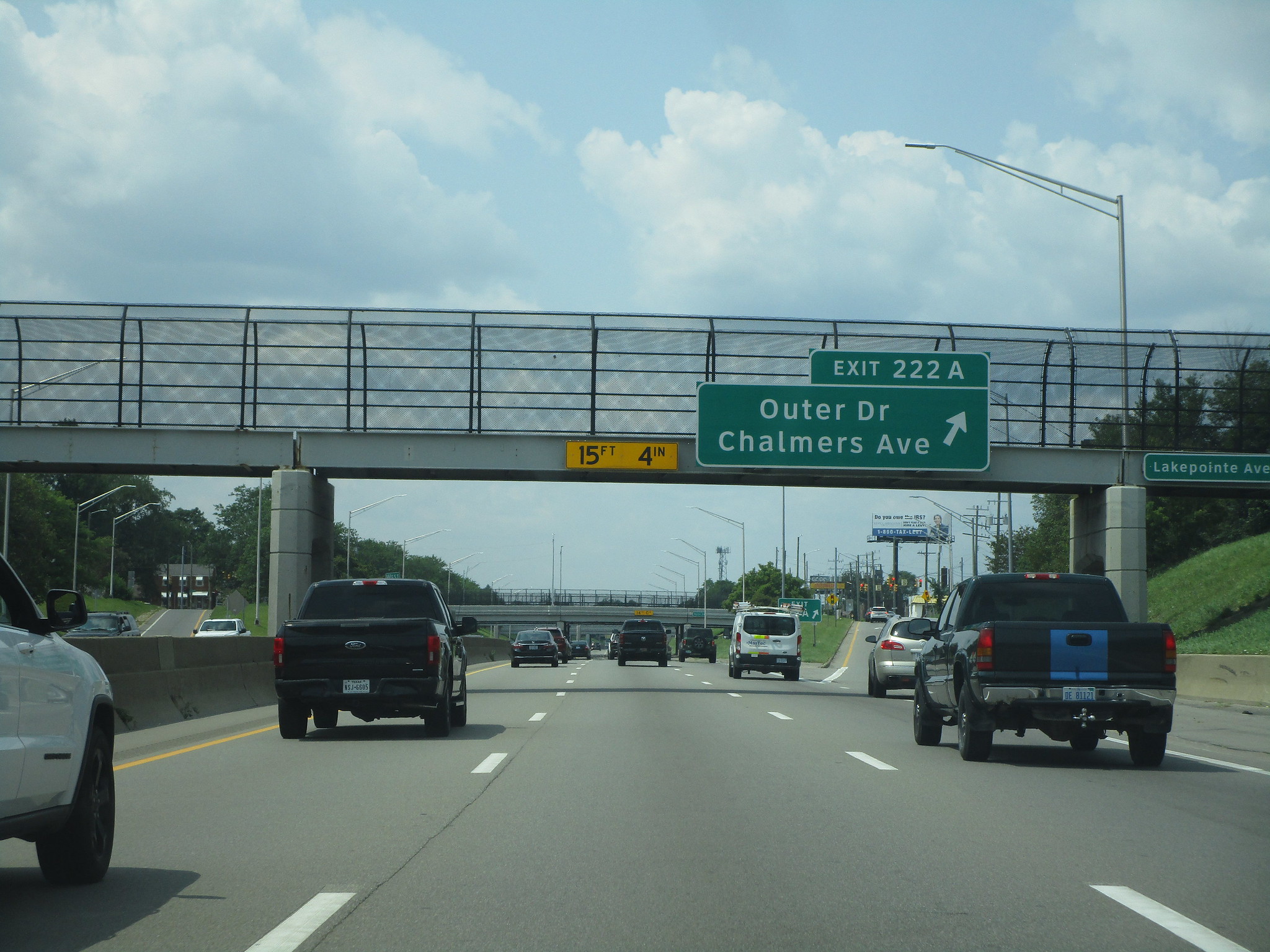
Exit 222A provides access to Chalmers Avenue and Outer Drive:
Exit 222B is a lone ramp to Harper Avenue for travelers coming from the west...
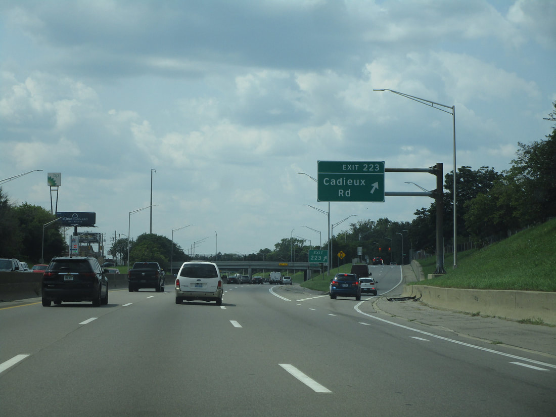
Exit 223 leads to Cadieux Road:
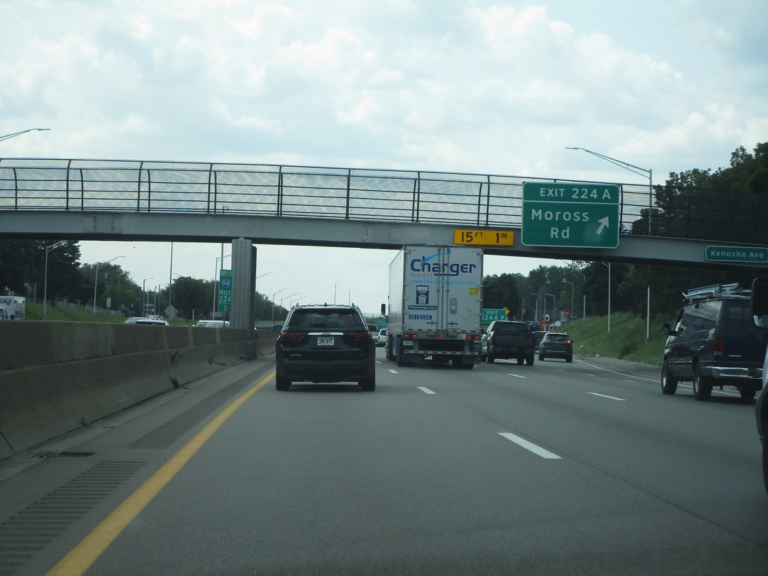
Exit 224A leads to Moross Road:
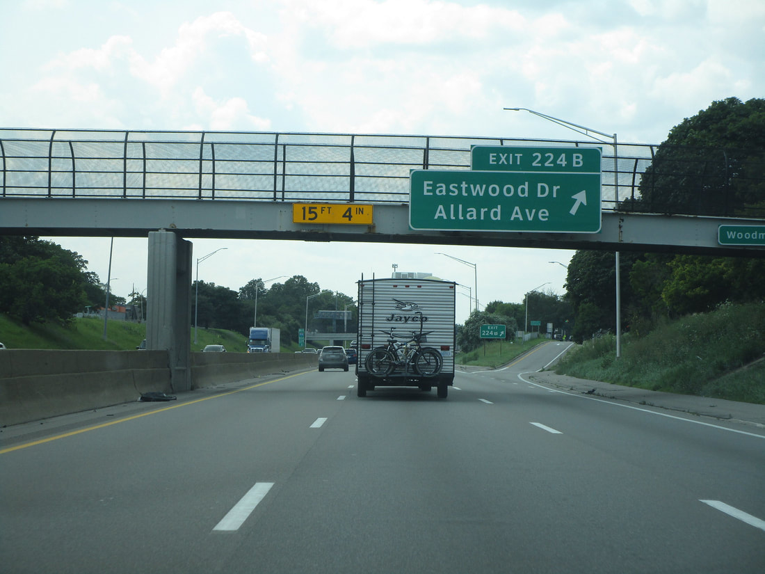
Exit 224B lets traffic on Interstate 94 get to Eastwood Drive and Allard Avenue:
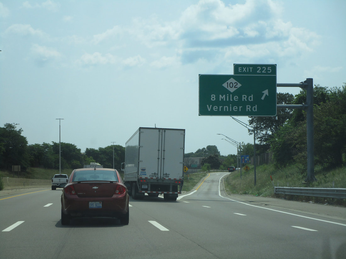
Exit 225 leads to Michigan Route 102, which has the aliases of 8 Mile Road and Vernier Road:
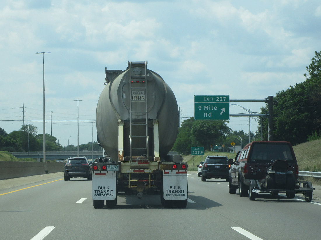
Exit 227 provides access to 9 Mile Road, as Interstate 94 proceeds northerly:
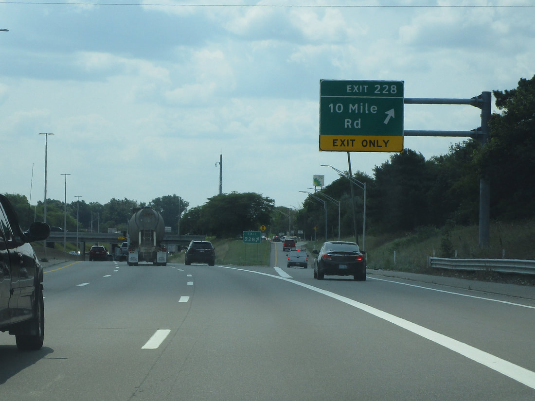
Exit 228 is for 10 Mile Road, which is predictable being 1 mile north of 9 Mile Road:
Exit 229 leads to the eastern end of Interstate 696, signed as the way to Lansing, and it also leads to 11 Mile Road...
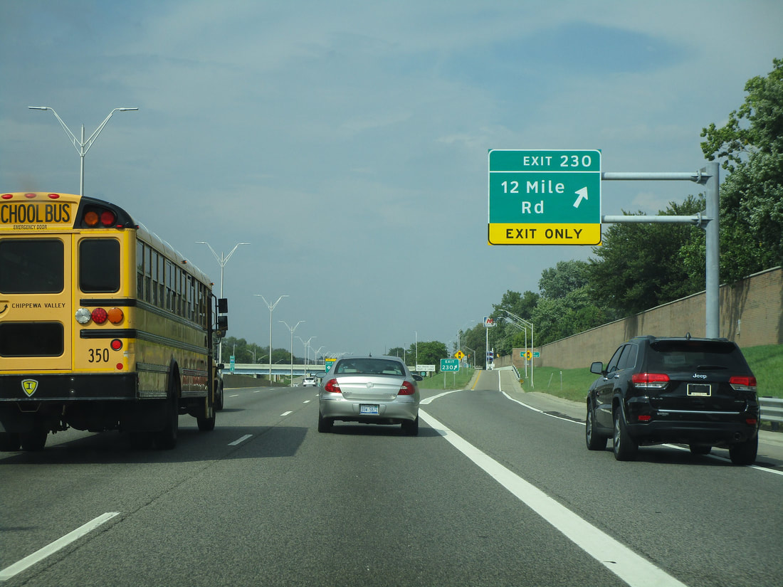
Exit 230 provides a connection to 12 Mile Road:
Exit 231 is a left exit with access to/from the south on Interstate 94, and it leads to Gratiot Avenue (Michigan Highway 3):
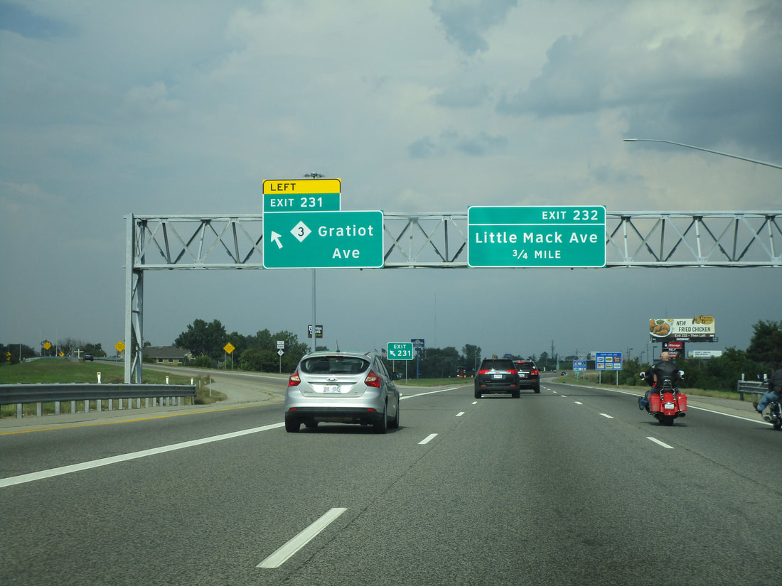
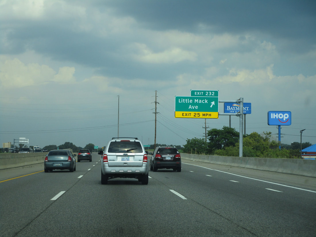
Exit 232 provides full access to Little Mack Avenue:
Exit 234A is the first half of the interchange to Harper Avenue; this ramp leads people southward:
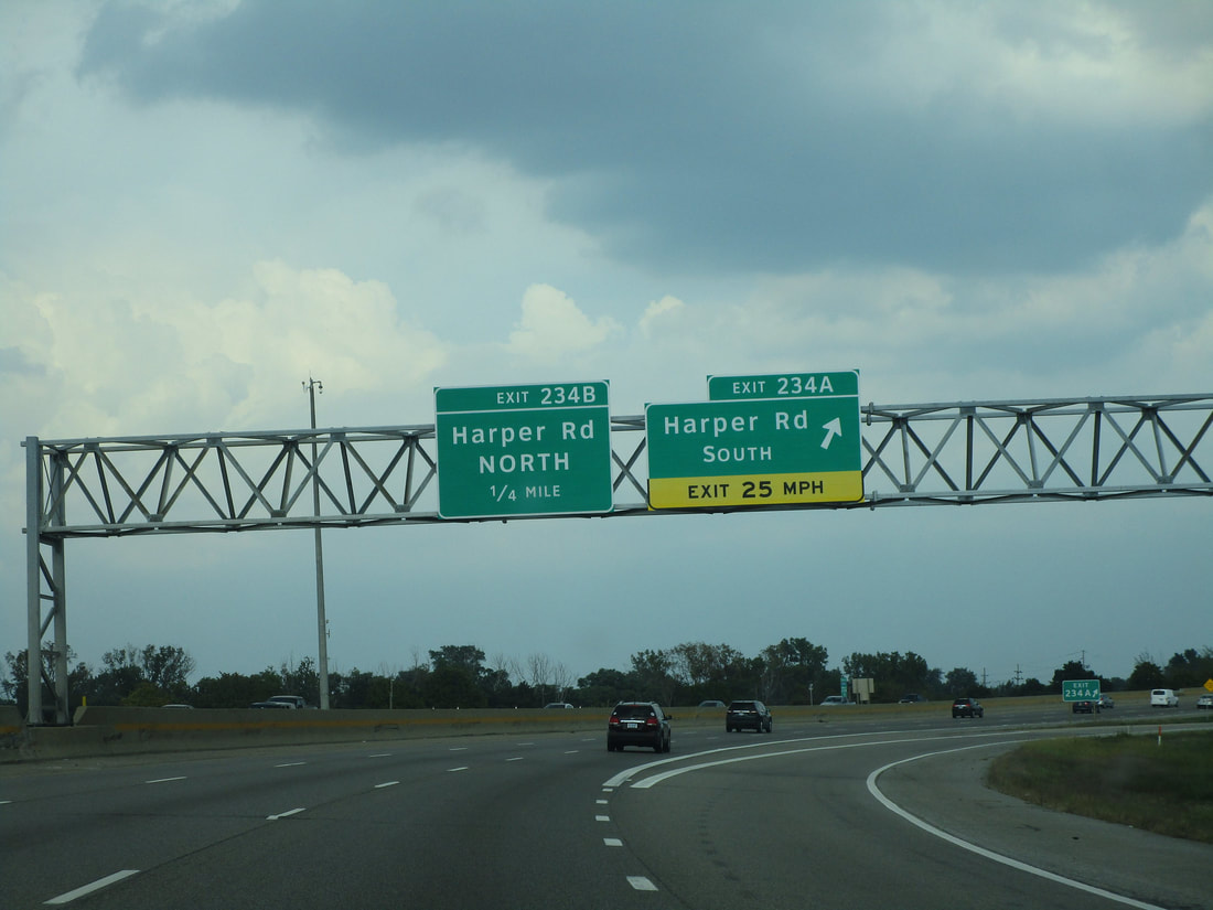
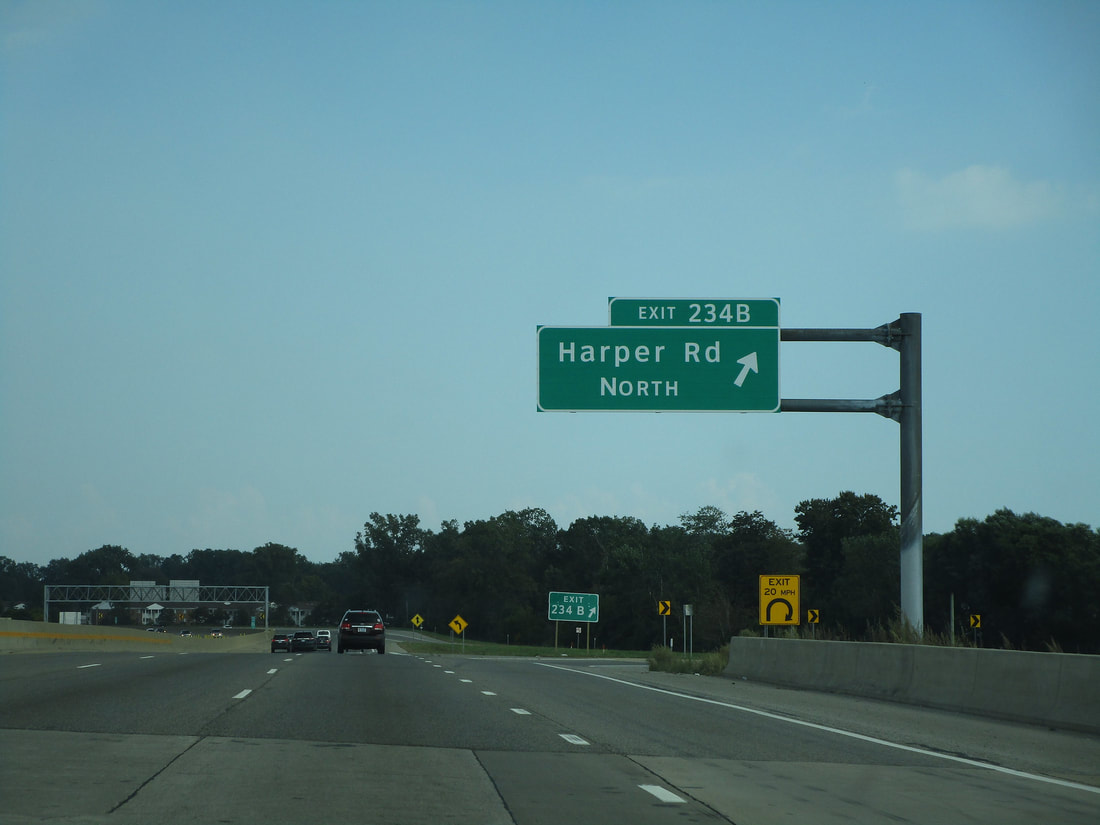
Exit 234B leads to Harper Avenue northbound:
Exit 235 only provides access to/from the north (east), but it links to Shook Road...
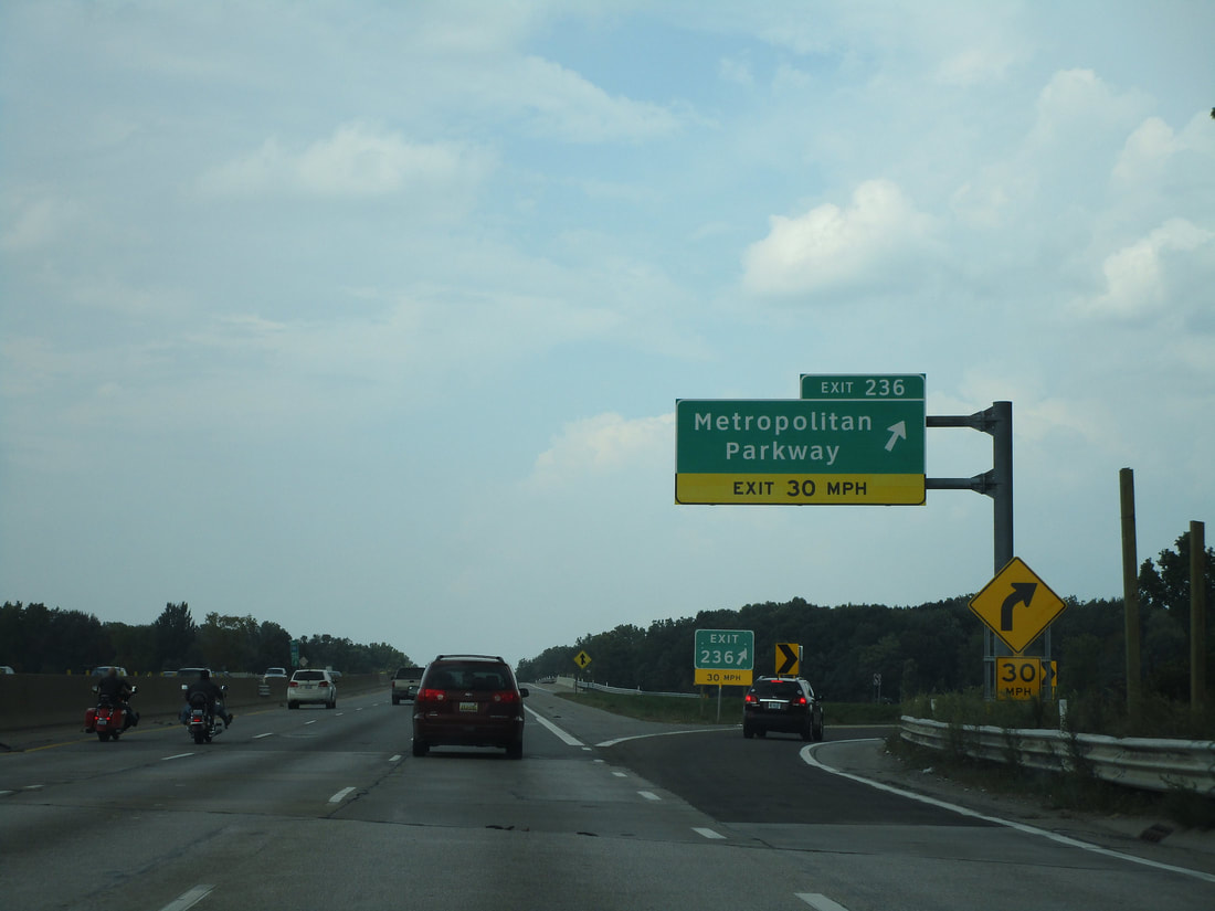
Exit 236 provides full access to Metropolitan Parkway, another name for 16 Mile Road:
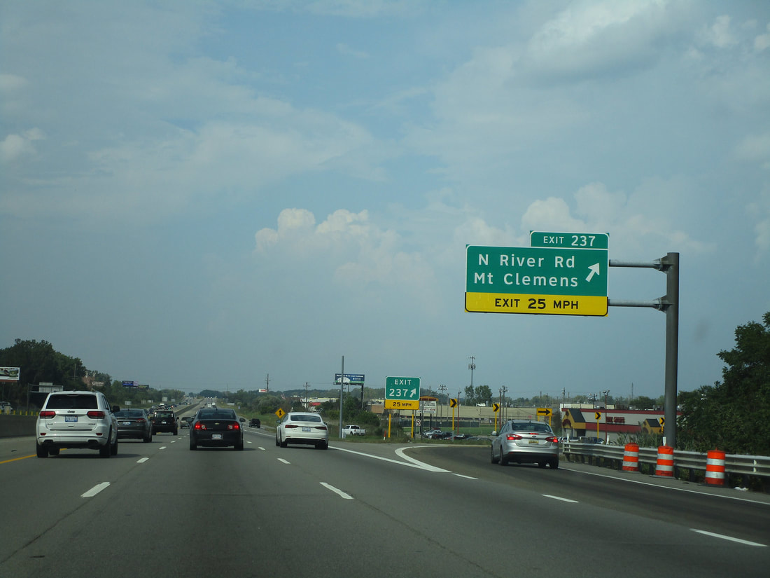
Exit 237 provides full access to North River Road in Mount Clemens:
Exit 240A brings travelers to Michigan 59 eastbound, toward the Selfridge Air National Guard Base:
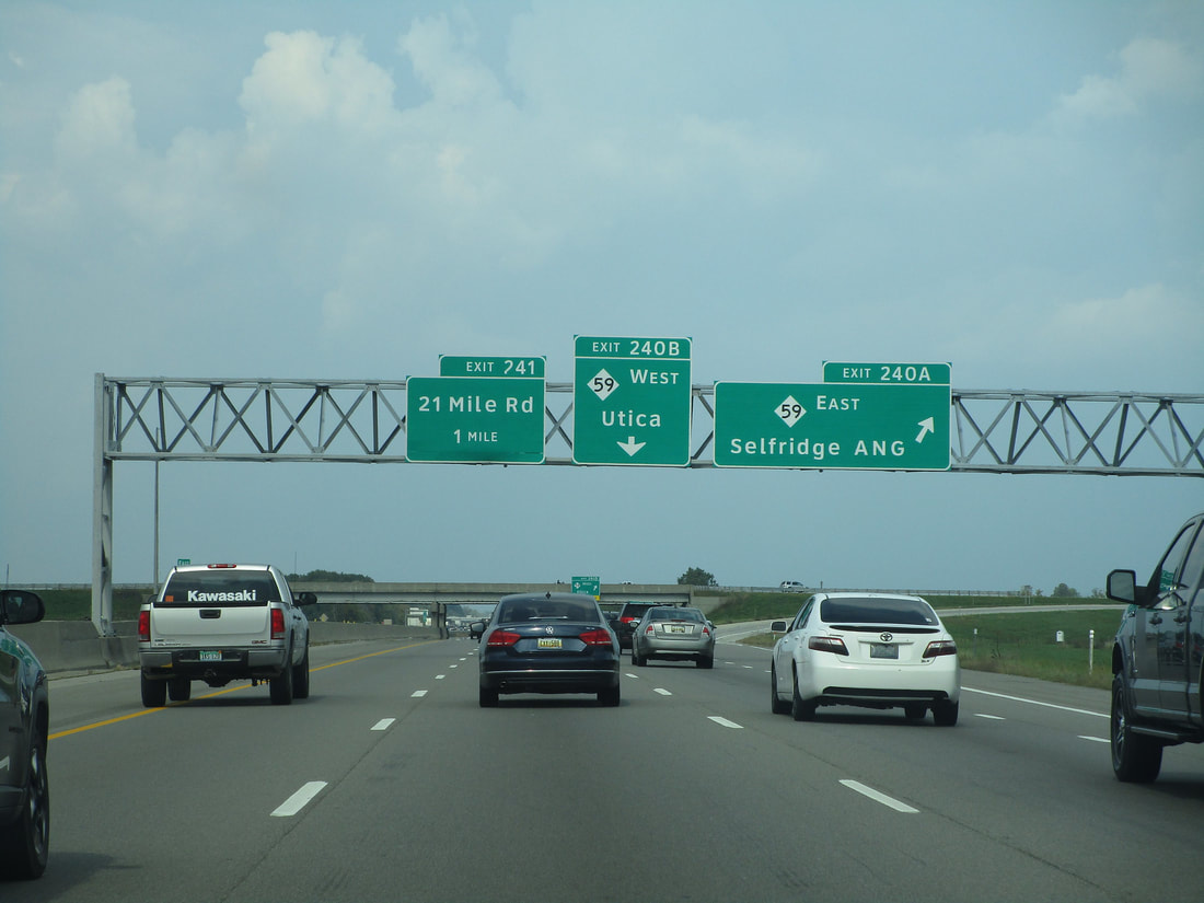
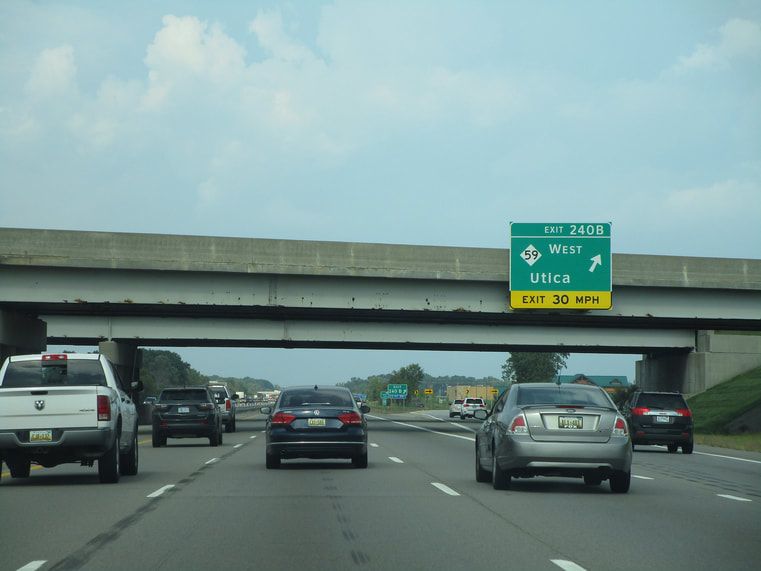
Exit 240B leads people to Michigan 59 westbound, toward Utica:
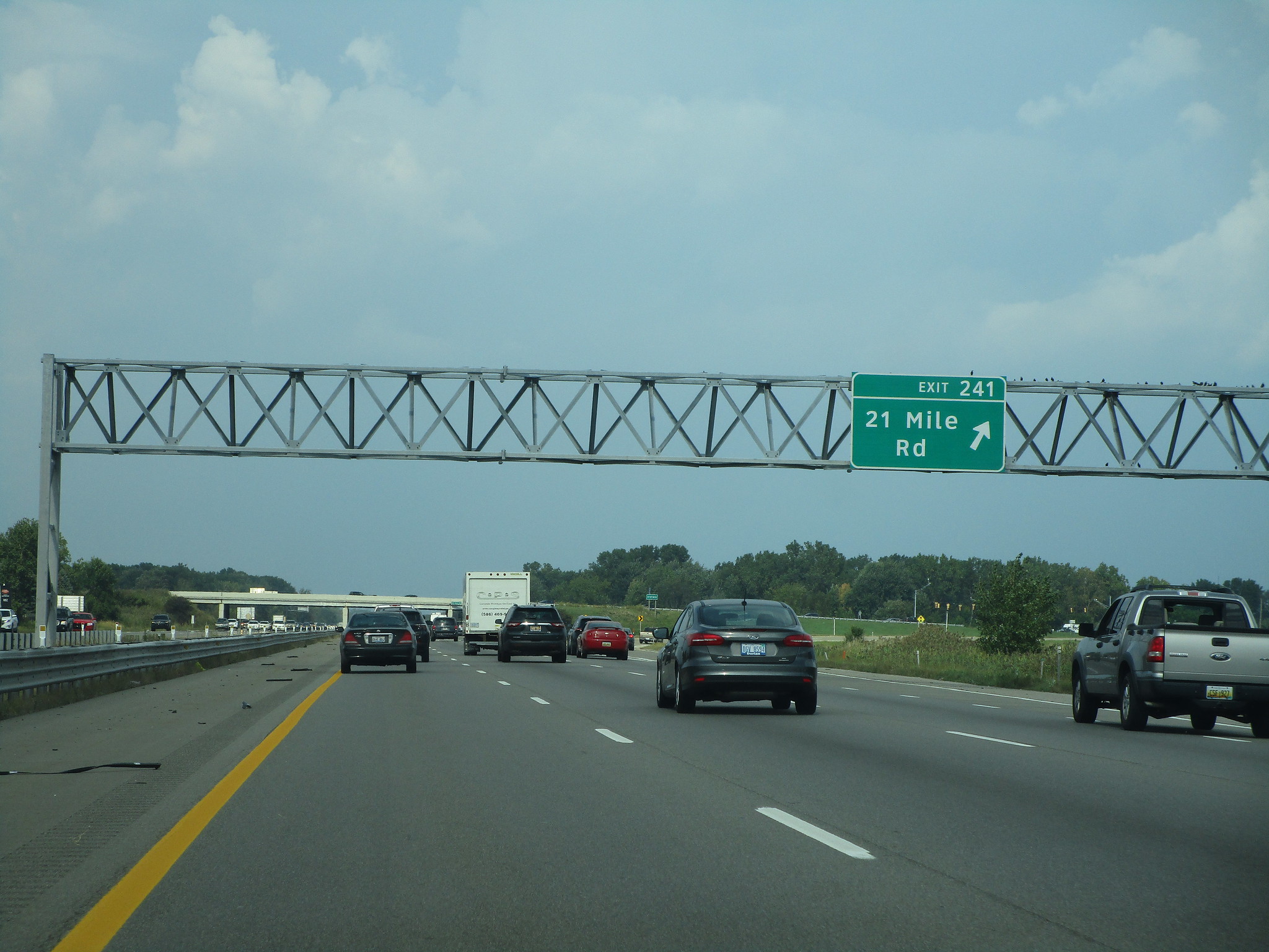
Exit 241 leads to 21 Mile Road, near Chesterfield:
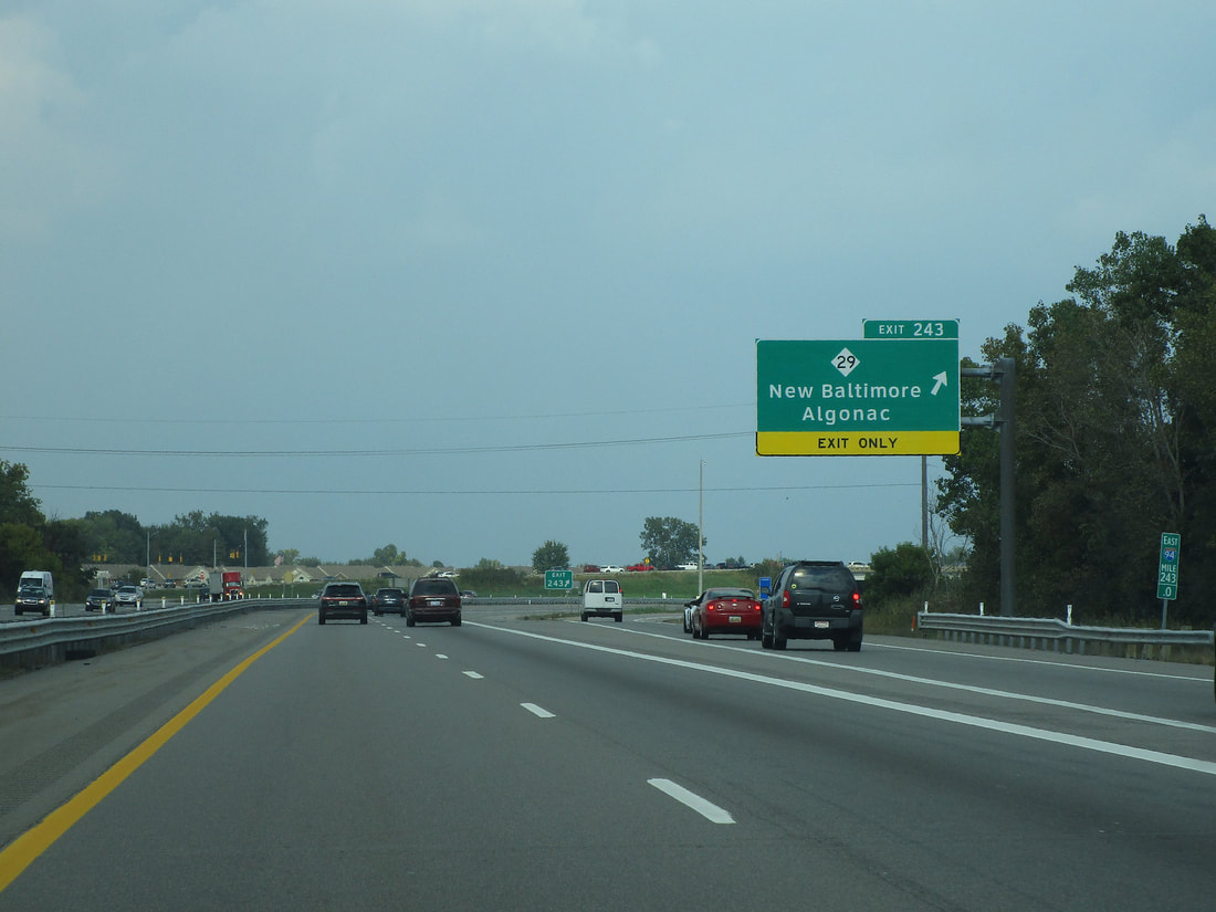
Exit 243 provides access to Michigan Highway 29, signed as the way of Algonac and New Baltimore:
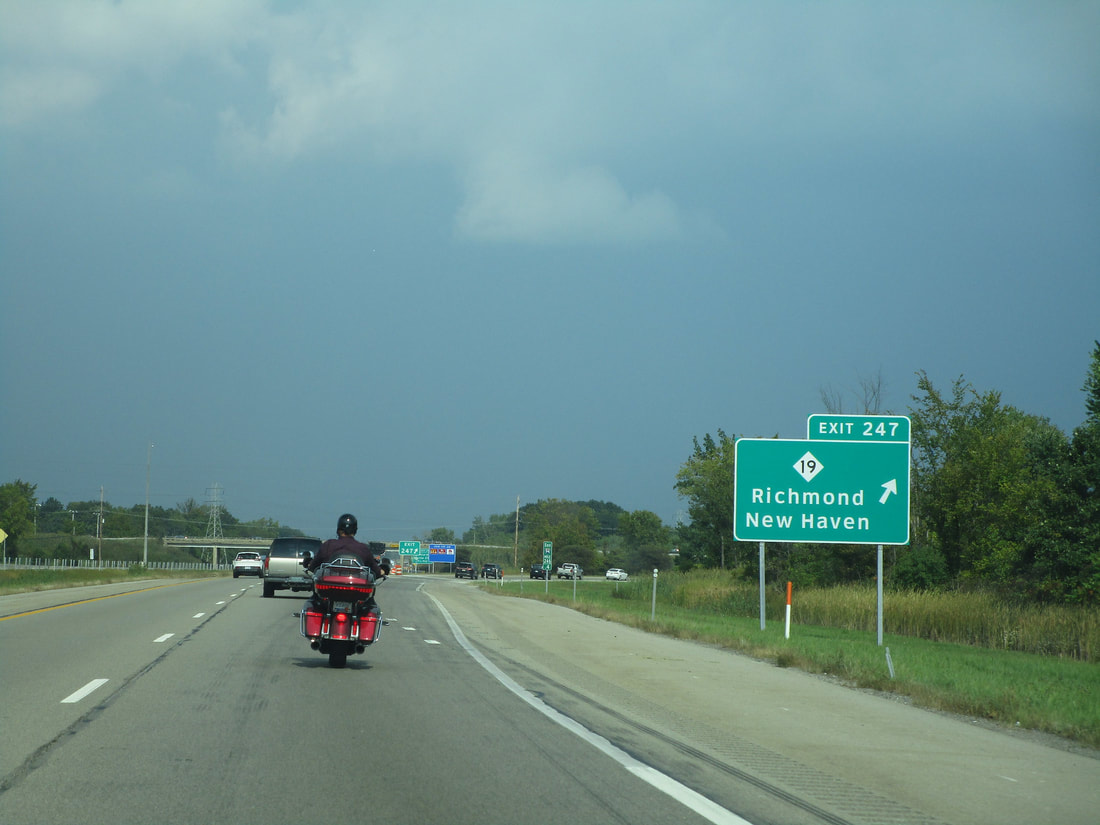
Exit 247 only provides access to/from the southwest on Interstate 94, but it reaches the south end of Michigan Highway 19. Michigan Highway 19 runs north to New Haven and Baltimore, but the road continues south to New Baltimore:
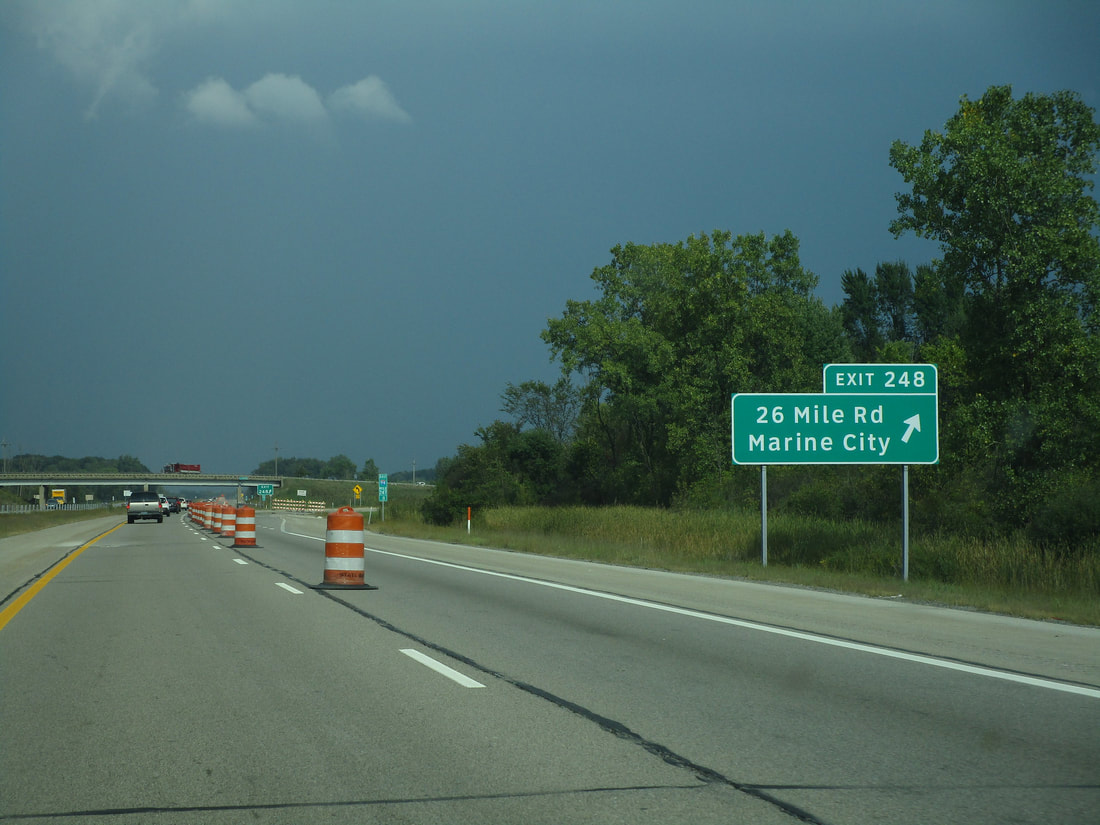
Exit 248 connects to 26 Mile Road, which allows travelers to reach Marine City:
Exit 257 provides a connection to Fred W. Moore Highway...
Exit 262 is for Wadhams Road...
Exit 266 is a kitty-corner folded diamond at the west end of Port Huron's iteration of Business Loop 94. The street here is called Gratiot Avenue, and the interchange is actually on the west side of Marysville...
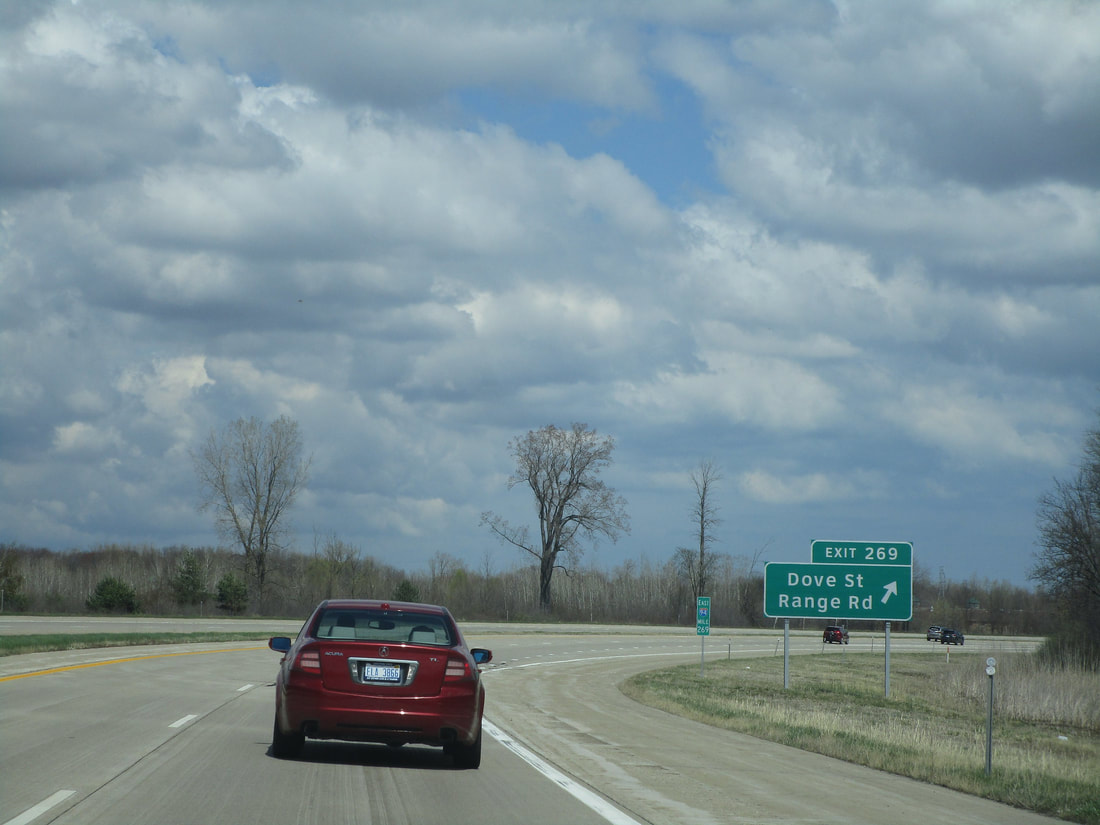
Exit 269 leads to Dove Street and Range Road on the outskirts of Port Huron:
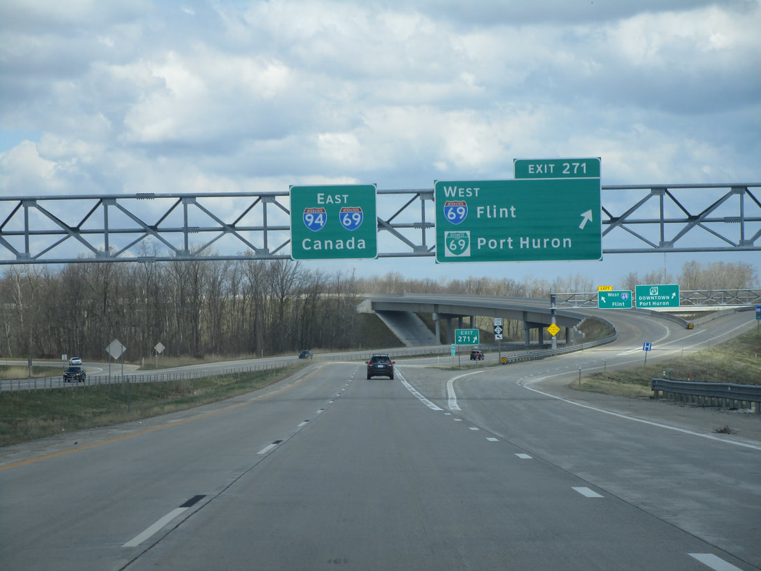
Exit 271 splits into two ramps: one leads to Interstate 69 westbound toward Flint, and the other feeds into the western beginning of Business Loop I-69 bound for downtown Port Huron:
Exit 274A leads to Lapeer Avenue and Exit 274B leads to Water Street in Port Huron:
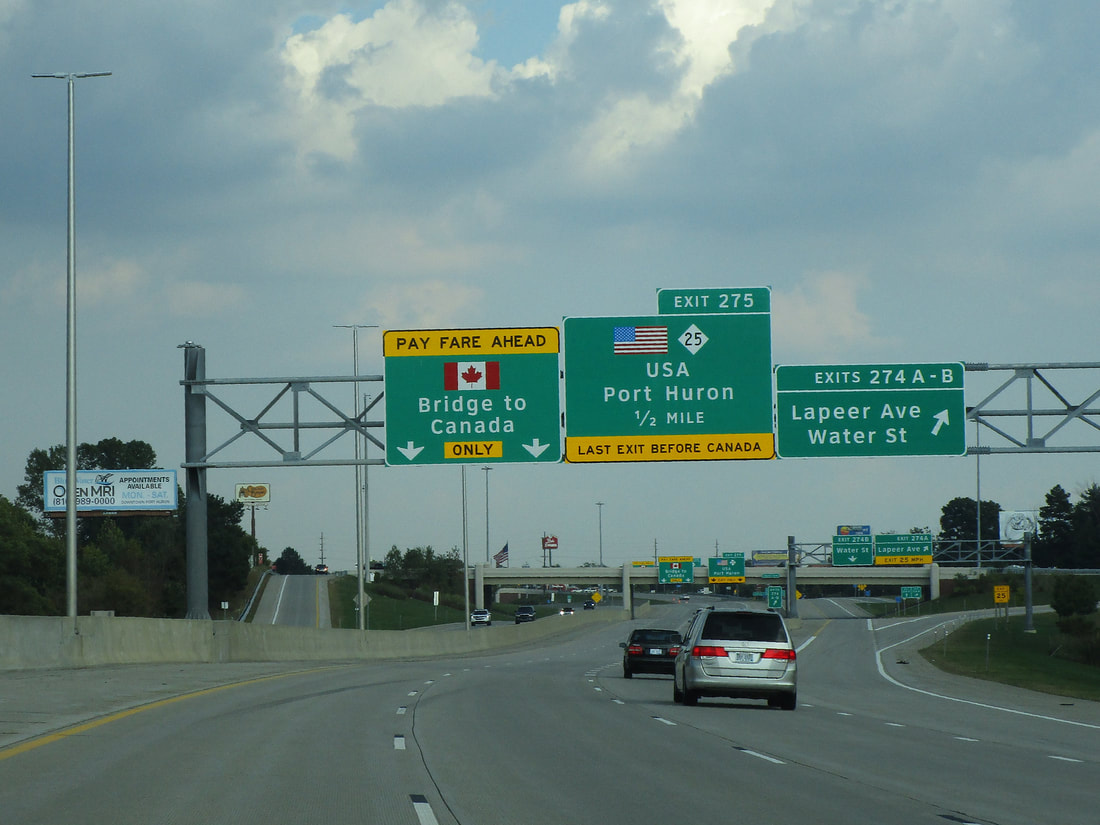
Exit 275 is the last chance to exit Interstate 94 before reaching the Canadian border; the ramp here takes travelers to Michigan Highway 25:
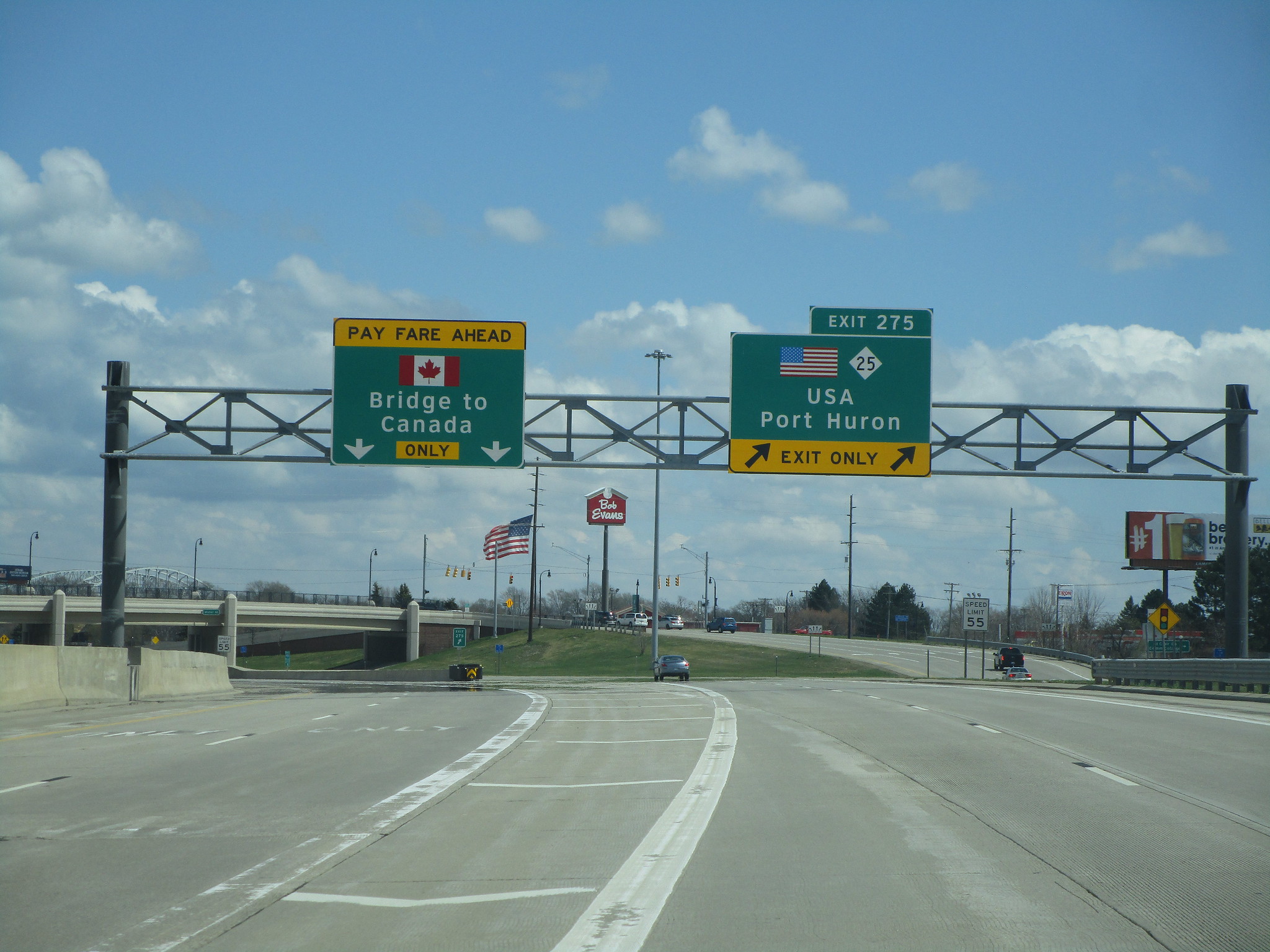
Interstate 94 ends at the Canadian border. The border crossing connects Port Huron, Michigan, to Sarnia, Ontario, at the southern tip of Lake Huron.