Ohio State Route 283 is a route running roughly along Lake Erie, extending northeast out of Cleveland into the far reaches of the metroplex. Ohio Route 283 the northernmost state highway in Ohio for nearly its entire length. Its southwestern point of beginning in Cleveland is at US Route 6. Ohio Route 283 runs northerly and northeasterly from there to join Interstate 90 and Ohio Route 2 east. After a few miles, Ohio Route 283 emerges from the freeway toward the north, to stay closer to Lake Erie. Ohio Route 283 then serves a series of lakeshore suburbs like Euclid and Willowick. At Timberlake, Ohio Route 283 bends away from the river a bit, to access a bridge over the Chagrin River. But then it goes right back north to the lake shore. In fact, Ohio Route 283 is known as Lake Shore Boulevard in this area. Lake Shore Boulevard carries Ohio Route 283 until it ends in Grand River, and Ohio Route 283 is forced to make a right turn toward the southeast. This southeastern bit is the last bit of Ohio Route 283, and it passes through an interchange with Ohio Route 2 into Painesville. Finally, Ohio Route 283 ends at US Route 20 in the heart of Painesville, Ohio.
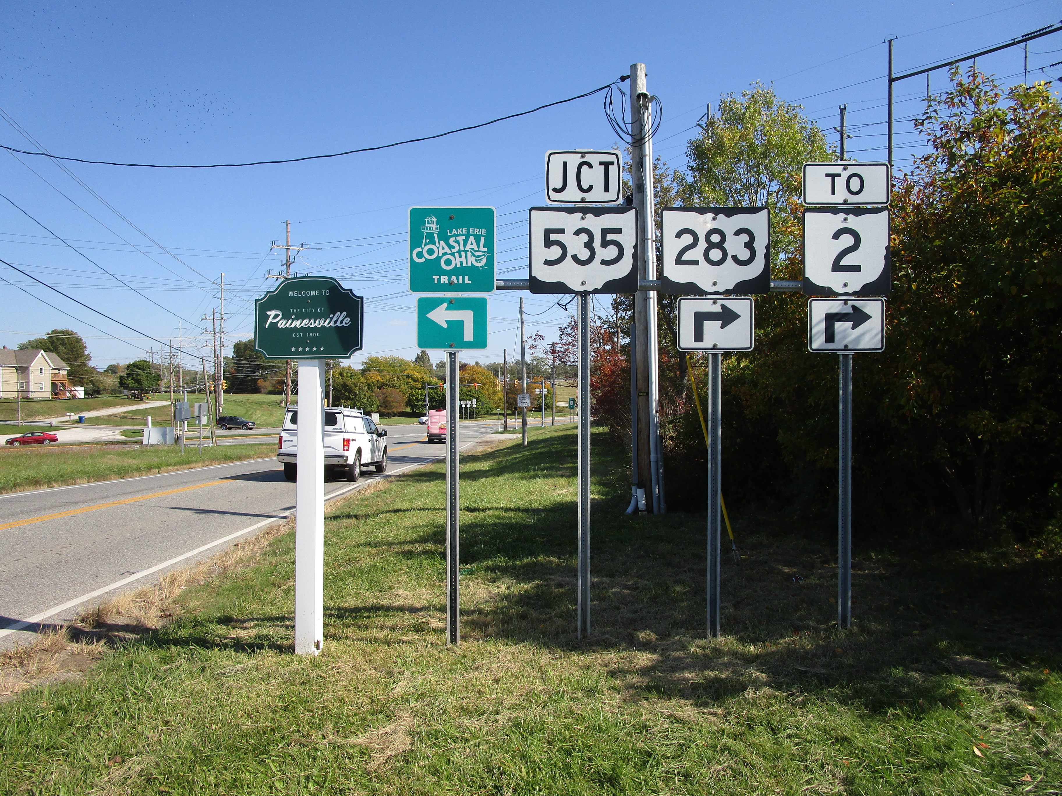
My photo of Ohio Route 283 comes from the northeastern end of Lake Shore Boulevard in Grand River, where Ohio Route 283 is forced to make a right turn into Painesville. The aperture looks northeast, and so do the travelers using this sign assembly to find their way around. Those travelers are informed by this signage that Ohio Route 283 is about to make a right turn, and if they choose to make a left turn, that will lead to the western beginning of Ohio Route 535. The interchange with Ohio Route 2 is just after this right turn onto Ohio Route 283's continuation; that is also mentioned here. This photo was taken during my tour all around northeastern Ohio in October 2022.
Back to Ohio Routes 200-299.
Back to the Ohio main page.
Back to the home page.
Back to Ohio Routes 200-299.
Back to the Ohio main page.
Back to the home page.

