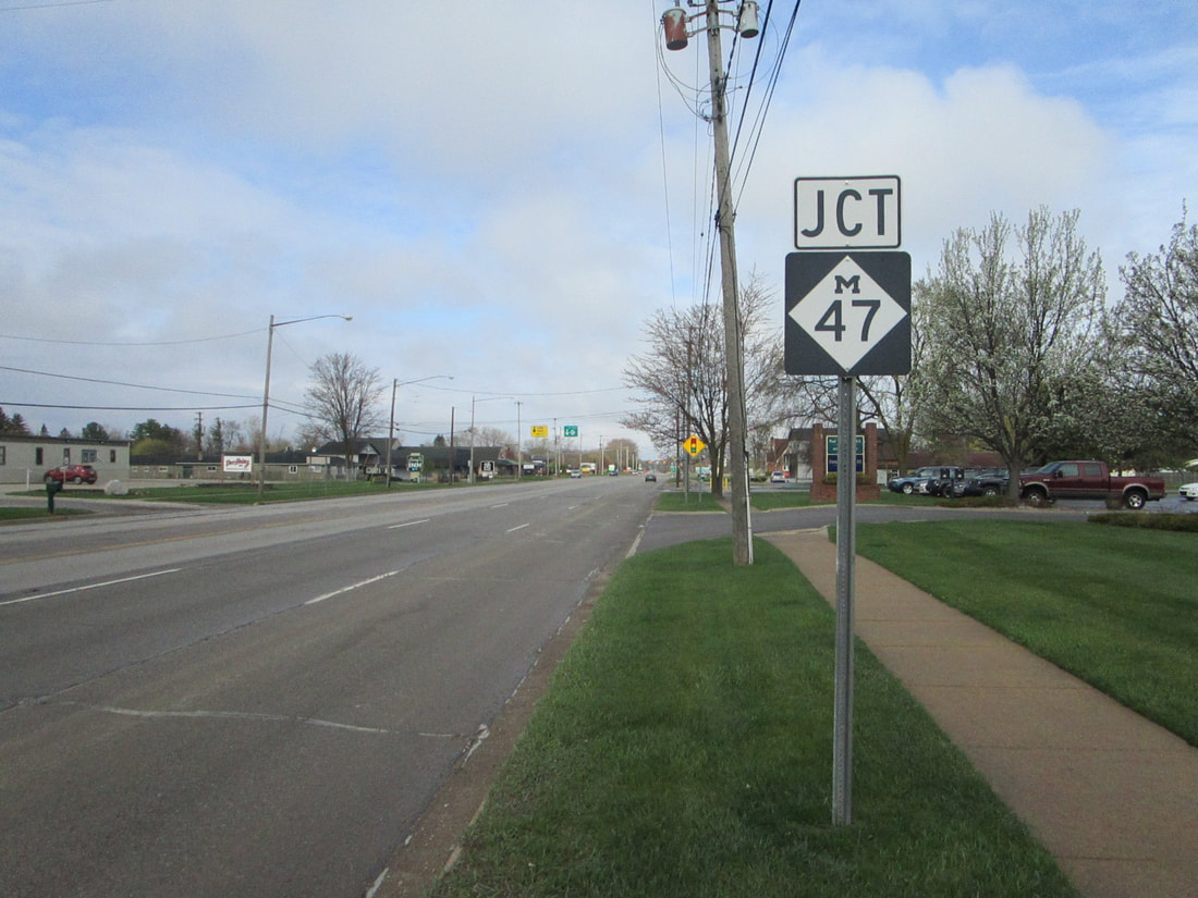
Michigan Highway 47 is a short route runs north-south just west of Saginaw. The northern end is at the US Route 10 freeway just east of Midland. Michigan Highway 47 runs through Freeland, following the east bank of the Tittabawassee River south, until its southern end. The southern end is at Michigan Highway 46, just east of the northern terminus of Michigan Highway 52. (Michigan Highway 47 could just be a northern extension of Michigan Highway 52, but it has a different number for some reason.) The southern reaches of Michigan Highway 47 are in a suburban area that grows westward from Saginaw; the southern end is in the town of Shields, which serves as such a western suburb.
My photo of a Michigan Highway 47 marker comes from the junction of Michigan Highways 47 and 58, on the western outskirts of Saginaw. This junction occurs about a mile and a half north of Michigan Highway 47's southern end. The signage depicted is a junction marker for westbound drivers on Michigan Highway 58, approaching that highway's end (M-58 ends at M-47). I looked westward taking this photo in April 2021, on a trip involving Metro Detroit and Michigan's Thumb.
Back to the Michigan main page.
Back to the home page.
Back to the Michigan main page.
Back to the home page.

