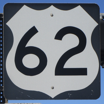
US Route 62 is one of the best examples of a diagonal US highway, running from El Paso, Texas, to Niagara Falls, New York. The section of US Route 62 from Oklahoma City, Oklahoma, to Lexington, Kentucky, fits in pretty well with the numbering scheme and the other east-west US highways. But, US Route 62 heads sharply southwest from Oklahoma City, and it continues sharply northeast from Lexington, Kentucky. The western end is shared with the southern end of US Route 85, at the Mexican border crossing in El Paso, Texas. From here, US Route 62 heads east out of El Paso, cutting northeast through southeastern New Mexico before entering Texas again. In Texas, US Route 62 zigzags east and west through Lubbock into Oklahoma, where it does similar zigzagging until Oklahoma City. East of there, US Route 62 follows the Interstate 40 corridor, but then jumps north to its own alignment across northern Arkansas, much of which is shared with US Route 412. US Route 62 leaves Arkansas by cutting across southeast Missouri to cross a bridge over Mississippi River into Illinois for one second, turning across the Ohio River into Kentucky. US Route 62 crosses through Paducah and Lexington in Kentucky. At Lexington, US Route 62 turns northeasterly through Columbus, Ohio; Canton, Ohio, northwestern Pennsylvania, and Buffalo, New York. The northernmost stretch of US Route 62 bends west to Niagara Falls, New York, near its Canadian border crossing.
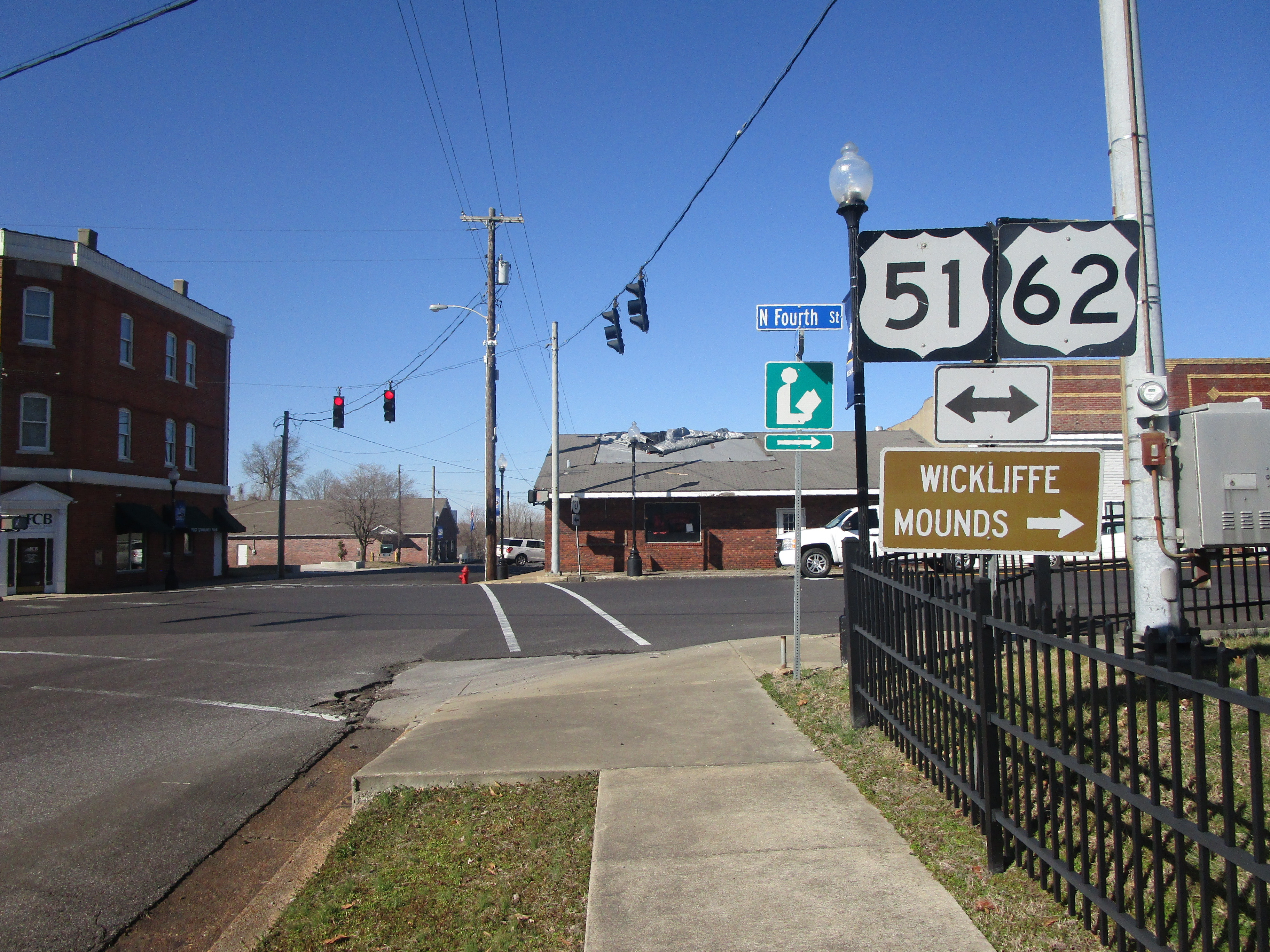
My photo of US Route 62 signage comes from Wickliffe, on the western edge of Kentucky. The aperture faces west, showing what drivers see when reaching the western end of Kentucky Route 286. From here, I turned right to cross the river into Cairo, Illinois, on the way home from a trip to Mayfield, Kentucky, brought about by my curiosity about tornadoes. At this point, US Route 62 joins US Route 51 north across the Ohio River. This trip took place in February, 2023, when I took this photograph.
Back to the nationwide main page.
Back to the home page.
Back to the nationwide main page.
Back to the home page.


