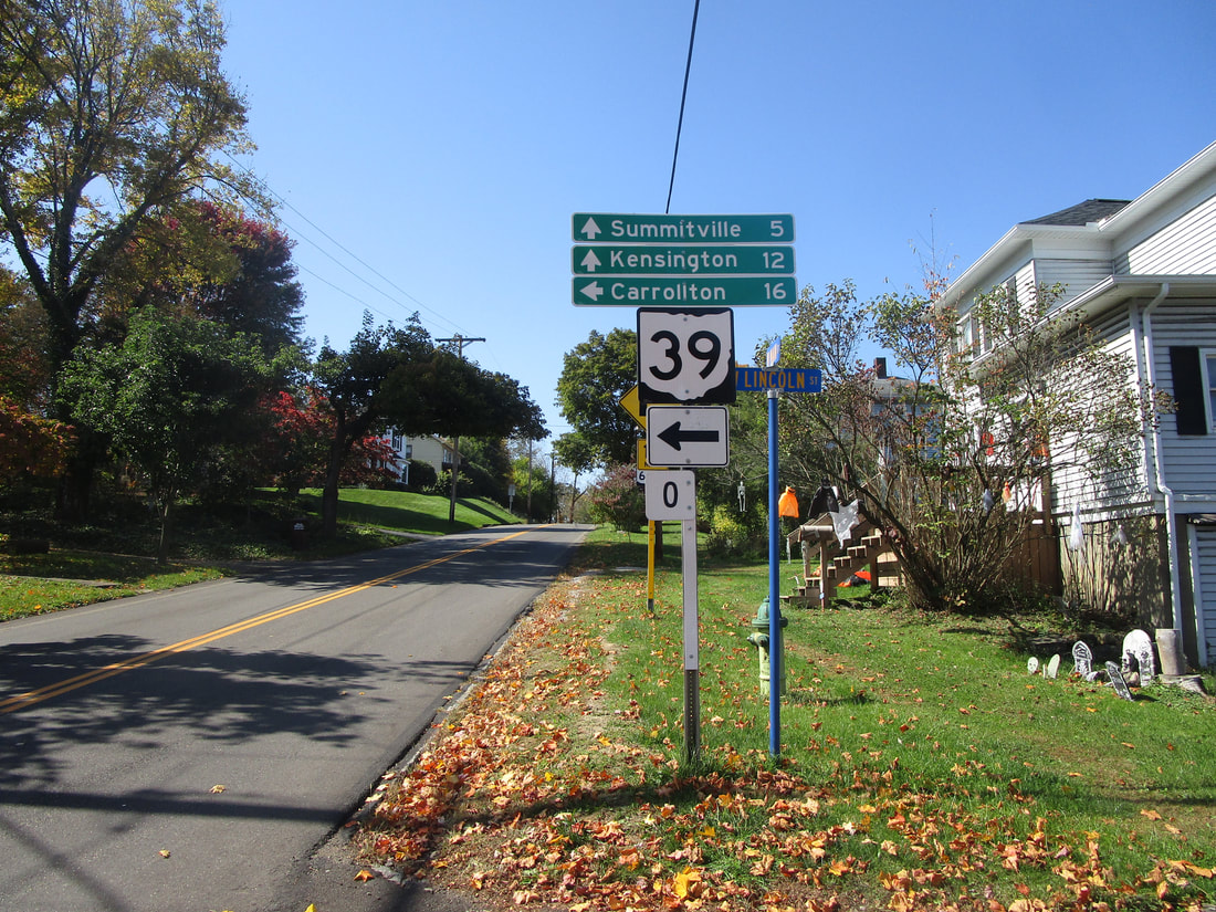
Ohio State Route 39 is a long east-west route found in east-central and north-central Ohio. The eastern end is across the Ohio River from the tip of West Virginia's northern panhandle. As Pennsylvania 68 hugs the northern shore of the Ohio River, it passes through Glasgow, Pennsylvania, and promptly becomes Ohio Route 39 when it crosses into East Liverpool, Ohio. There, Ohio Route 39 meets Ohio Route 7, and as Ohio Route 7 and the Ohio River both turn southerly, Ohio Route 39 maintains its westward course. Ohio Route 39 heads through the hills, serving the county seats of the next three counties it reaches: Carroll, Tuscarawas, and Holmes Counties (the county seats are Carrollton, New Philadelphia, and Millersburg). Beyond Holmes County, Ohio Route 39 starts curving toward the west-northwest, bound for Mansfield. It serves downtown Mansfield, then leaves town toward the northwest. After that, Ohio Route 39 serves the town of Shelby. It bends westerly, then northerly. The northerly stretch is the last one, and Ohio Route 39 ends unceremoniously at Ohio Route 103 south of Willard.
My photo of Ohio State Route 39 signage comes from the junction with Ohio Route 644 in Salineville. Salineville is in southwestern Columbiana County. As Ohio Route 39 is proceeding west, it is diverted south by one block at an intersection where Ohio Route 644 begins to the west. The guide marker shown points westbound travelers toward the south so they can stay on Ohio Route 644. This photo was taken looking west, as I was doing my grand tour of northeastern Ohio in October 2022.
Back to Ohio Routes 1 through 99.
Back to the Ohio main page.
Back to the home page.
Back to Ohio Routes 1 through 99.
Back to the Ohio main page.
Back to the home page.

