Ohio State Route 266 is a short, winding route in Morgan County. Its purpose is to serve the town of Stockport, in the southern part of the county. Between McConnelsville and Chesterhill, Ohio Route 266 begins at Ohio Route 377. This is the western end, and from here, Ohio Route 266 heads east for Stockport, where it crosses the Muskingum River. Upon reaching the eastern bank, Ohio Route 266 meets Ohio Route 376, which followed alongside the river as it went southerly out of McConnelsville. Ohio Route 266 usurps Ohio Route 376 as the riverside route, and it turns to follow the river. The river, however, bends easterly and northerly, forcing Ohio Route 266 to do the same. That leaves Ohio Route 266 to point northerly as it ends at Ohio Route 60, just northwest of Beverly, Ohio. Ohio Route 266 is 14 miles long.
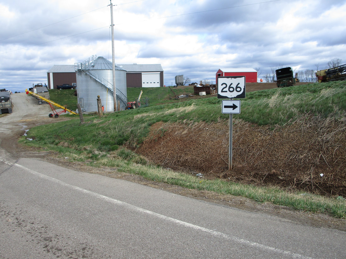
My photo for Ohio State Route 266 signage comes from the western end, at Ohio Route 377. The photo looks north at a guide marker that points out the right turn onto eastbound Ohio Route 266. Northbound travelers use this sign to locate the right turn. This photo was taken in March 2021, as part of the tour all around the southeastern quarter of Ohio.
Back to Ohio Routes 200-299.
Back to the Ohio main page.
Back to the home page.
Back to Ohio Routes 200-299.
Back to the Ohio main page.
Back to the home page.

